Map not loading? Visit our Main Interactive Map. For best performance and experience, use the latest web browser version of Microsoft Edge or Firefox. We are currently troubleshooting technical issues with Chrome.
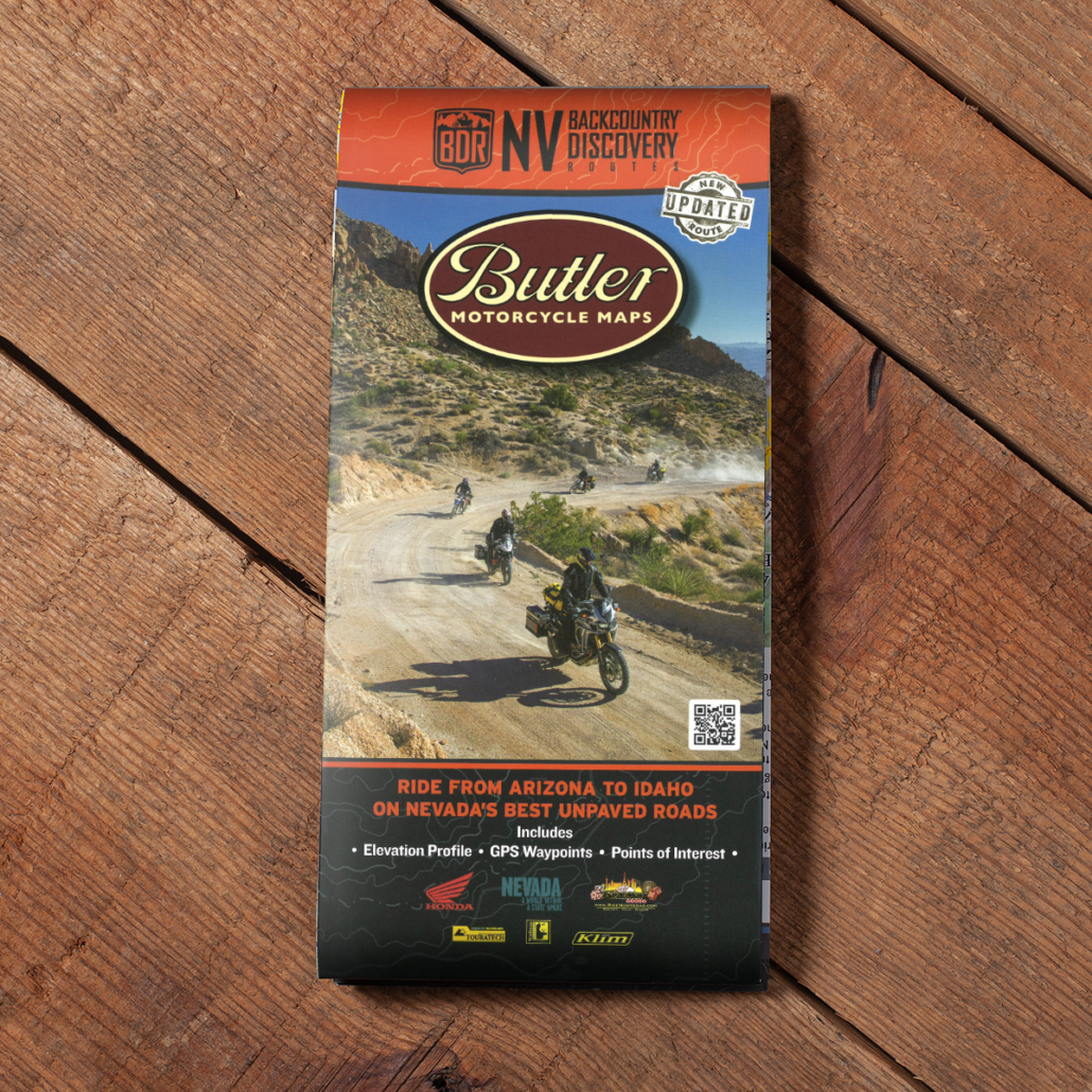
BDR announces its seventh route, the NVBDR, produced in partnership with the American Honda Motor Co. Inc, TravelNevada and RideNow Vegas.
The NVBDR release includes free GPS tracks and route travel information on the BDR website, a waterproof map from Butler Motorcycle Maps, and expedition documentary DVD produced by ColorBlind, and BDR Documentary Films.
The NVBDR is a scenic ride across Nevada, beginning in Oatman, AZ, and finishing in Jarbidge, NV. Created for dual-sport and adventure motorcyclists, this 900-mile south-to-north route primarily uses dirt roads to lead riders through Nevada’s expansive deserts, open sagebrush valleys, and seemingly endless mountain ranges.
In rural Nevada, you’ll experience historic saloons and relics from it’s rich mining history. The state’s maverick spirit remains, and you’ll see ghost towns, artifacts, desert sculptures, murals, the world’s largest car forest, jackrabbits, antelope and even wild mustangs.
Most importantly, the film reveals miles of meandering two-track roads that are just perfect for spending time on an adventure motorcycle.
NVBDR – SECTION DESCRIPTIONS
Section 1: Oatman, AZ to Pahrump - 166 Miles
Section 1: Oatman, AZ to Pahrump – 166 Miles
The official start of the NVBDR is in Oatman, Arizona, a popular stop along Route 66. Expect an interesting mix of tourists, eclectic locals and donkeys, as Oatman is known for the wild burros that wander main street.
After about 17 miles you’ll cross the mighty Colorado River and enter the state of Nevada at Laughlin. The route follows Highway 163 and then ascends Christmas Tree Pass, before leading you on a narrow two-track road south of Searchlight. This section can be very sandy so stand on the pegs, throttle up and focus. This is also a Desert Tortoise sanctuary, so be alert. West of Nipton, the route meanders through the desert in the shadows of the Ivanpah Solar Electric Generating System before reaching Primm.
The ride from Primm to Pahrump is mostly high-speed gravel roads, but take the time to stop at the Pioneer Saloon in Goodsprings, the oldest bar in Nevada, before reaching the end of Section 1 in Pahrump.
Section 2: Pahrump to Beatty - 91 Miles
Section 2: Pahrump to Beatty – 91 Miles
Section 2 runs between the Nevada Test Range and California, through classic Nevada desert sprinkled with quirky Nevada culture. You’ll be cruising on mostly smooth gravel roads with the occasional sandy two-track and a few mellow rocky sections. If you’ve ever dreamed of riding giant sand dunes you can take a side trip to Big Dune, north of Pahrump. You’ll also cross a dry lake bed that looks like the moon, pass a pond full of endangered Pup Fish and stop at a crystal clear bubbling oasis. Take a spin up to Secret Pass lookout before the final stretch into Beatty.
Beatty offers easy access to Death Valley National Park, including the unforgettable Titus Canyon. If time allows, take a detour into the park before continuing north.
Section 3: Beatty to Tonopah - 142 Miles
Section 3: Beatty to Tonopah – 142 Miles
There are very few places in America that have the character of the old mining town of Gold Point. Belly up for a sarsaparilla and wander around the relics that scatter the old town. There is primitive camping available in the desert and a few small cabins available for rent in Gold Point.
Section 3 has lots of big-open desert riding with the exception of an exhausting but fun section of sand whoops north of Gold Point. You’ll earn your rest at fantastic stops along the way, including the bizarre car art near Goldfield—it’s truly a must see. Tonopah offers plenty of lodging opportunities halfway through your journey.
Section 4: Tonopah to Austin - 177 Miles
Section 4: Tonopah to Austin – 177 Miles
From Tonopah to the north, the scenery begins to evolve from dry desert to mountains as you move away from the western border of the state. This section is not particularly challenging as it consists of mostly wide graded roads, but offers incredible vistas as you climb up and over several mountain ranges. Kingston Canyon Road just before Austin is spectacular as it climbs over aggressive alpine terrain that feels more like Colorado than something you’d expect in Nevada.
Be advised, this section does not have any fuel stops between Tonopah and Austin, so be conservative on the throttle and carry extra fuel.
Section 5: Austin to Elko - 220 Miles
Section 5: Austin to Elko – 220 Miles
Settle in for a long day in the saddle. Section 5 crosses big chunks of Nevada with very few services. It is over 200 miles between fuel in Austin and your next opportunity to gas up in Elko, so be prepared. There is however, a detour halfway through this section to nearby Eureka for fuel by taking highway 278 south for about 24 miles.
You’ll make good time in the first part of this section as you ride wide open gravel roads across enormous valleys. The climb over Telegraph Peak is an optional advanced section for riders looking for an added challenge. As you get closer to Elko, ride a portion of the original Pony Express Trail and get a good mix of tighter 4×4 roads through unique geography that is much different than you’ve seen so far in Nevada. Elko is a bustling town with plenty of options for lodging, food and fuel.
Section 6: Elko to Jarbidge - 103 Miles
Section 6: Elko to Jarbidge – 103 Miles
After riding the highway for about 54 miles from Elko, the route turns east onto County Road 746. An optional advanced section over Wild Horse Mountain features elevation changes amidst primitive two-track before rejoining the main route.
At Charleston-Jarbidge Road, you’ll turn north and continue for another 28 miles to the end of the NVBDR and one of the most remote towns in the US, Jarbidge, Nevada. This final section crosses over a couple of passes that are around 8500 feet in elevation so you’ll have to wait for the snow to melt as this road often does not open until July 4th.
Jarbidge is also the official start of the IDBDR and has fuel and a small restaurant, two campgrounds, and a few rooms for rent. Make sure to book ahead if you get there during the busy season.

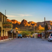 At first glance, the wild burros of Oatman, Arizona, seem to steal the whole show, what with their adorable faces, pushy ways, and high-pitched whinnies. But in this fascinating little almost-ghost town, they’re actually just the opening act.
 Nine different resorts, with nearly 10,000 rooms, all close together on an exciting strip. There’s a world of choices in dining, entertainment, recreation and gaming, right along the beautiful Colorado River.
 About an hour south of Las Vegas is the old mining camp and revived the town of Searchlight, Nevada. It all began when G.F. Colton discovered gold in 1897 and soon started the Duplex Mine. The next year, the Searchlight Mining District was founded and a post office was established at the camp.
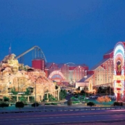 Located 25 minutes south of Las Vegas on Interstate 15, Primm is a popular destination with Las Vegans and Californians alike thanks to its convenient location on the Southern Nevada/California state line. Offering an array of affordable activities, Las Vegans frequent Primm to shop while Californians like to visit for its Vegas-vibe.
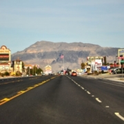 Pahrump, Nevada is easy to reach and hard to forget. It’s an hour west of Las Vegas, a city so famous it needs no introduction, and an hour east of Death Valley National Park, a place known for extremes. Pahrump truly is the heart of the desert and the perfect place to enjoy the best of southern Nevada. Pahrump is home to big attractions and events. There’s more to do here than you may think.
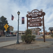 Located on the crossroads of Hwy. 95 and State Route 374, Beatty offers easy access to Death Valley National Park, off roading, bird watching, hiking, ghost town exploration, camping, photography, filming, star gazing, geocaching, and the list goes on.
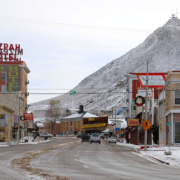 Because it’s so far from the bright lights of any major city, Tonopah’s night skies are considered among the best in the country for stargazing. Tour our Historic Mining Park & visit the Central Nevada Museum. Go off-roading or visit nearby ghost towns. Shop in unique stores, discover local artists & even pan for gold during our annual Jim Butler Days celebration!
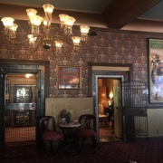 Experience historic elegance and comfort in Nevada’s breathtaking high desert! A treasured destination since 1907, The Mizpah Hotel in Tonopah is better known as the “Jewel of the Desert”. Beautifully renovated by Nancy and Fred Cline in 2011, The Mizpah Hotel takes you back in time, but also offers modern amenities for a comfortable stay.
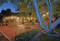
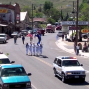 Highway 50 is known for its stark, open landscapes, but there’s not much on the road besides wide-open country. Fortunately, about halfway through the state, there’s a charming mountain town with a wide range of activities and amenities for travelers. The Greater Austin Area Chamber of Commerce is proud to welcome you to Austin, NV.
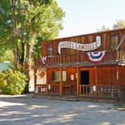 As quite the snug and picturesque little village tucked away in the foothills of the Ruby Mountains, Lamoille is not too far from Elko in the northeastern corner of Nevada. What it lacks in size, it more than makes up for in charm and amenities.
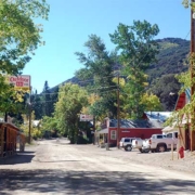 The tiny town of Jarbidge may be the most isolated of Nevada’s well-known mining towns of yesteryear, but it’s also arguably in the most stunning setting. The Jarbidge Wilderness Area, a sprawling 65,000-acre region that extends into Idaho, surrounds this historic community and is perfect for backcountry adventure. In winter months, access to this ruggedly remote town is usually limited to the drive in from Idaho, due to deep snowdrifts blocking off the Nevada entrance.
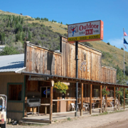 Food/Camping/Hotel/Showers/Laundry.
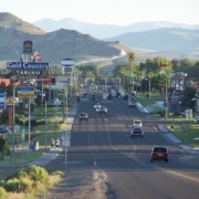 Elko is a vibrant community offering great food from a variety of cuisines and cultures; a wide selection of meeting, conference and lodging accommodation options; wonderful events throughout the year; art galleries, museums and historical attractions and an abundance of outdoor recreation opportunities.
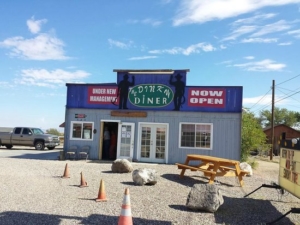 Homemade food. Great dining experience, in a small historical town. Their business hours are 7am-4pm, everyday day except Sundays we close at 2pm. Hope to see you soon!


