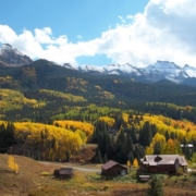
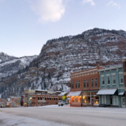
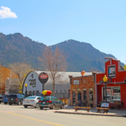
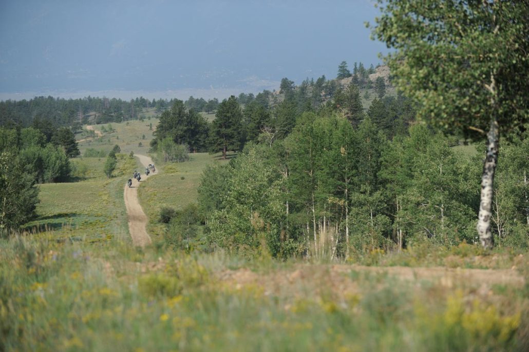
Steamboat Springs, CO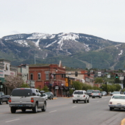
Steamboat Springs is nestled in the Rocky Mountains of Colorado, off the beaten path but still within reach. Our Colorado vacation destination is easy to get to by air or by car, year-round. If you’re looking for an authentic mountain town, steeped in adventure, history and culture yet full of modern amenities, we invite you to browse our vacation ideas that are as big as the Rockies themselves. However you like to spend your down time, you’ll find the perfect mountain vacation here in Steamboat.
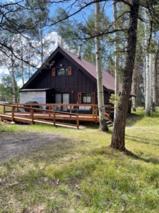
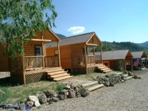
The Cabins at Historic Columbine, CO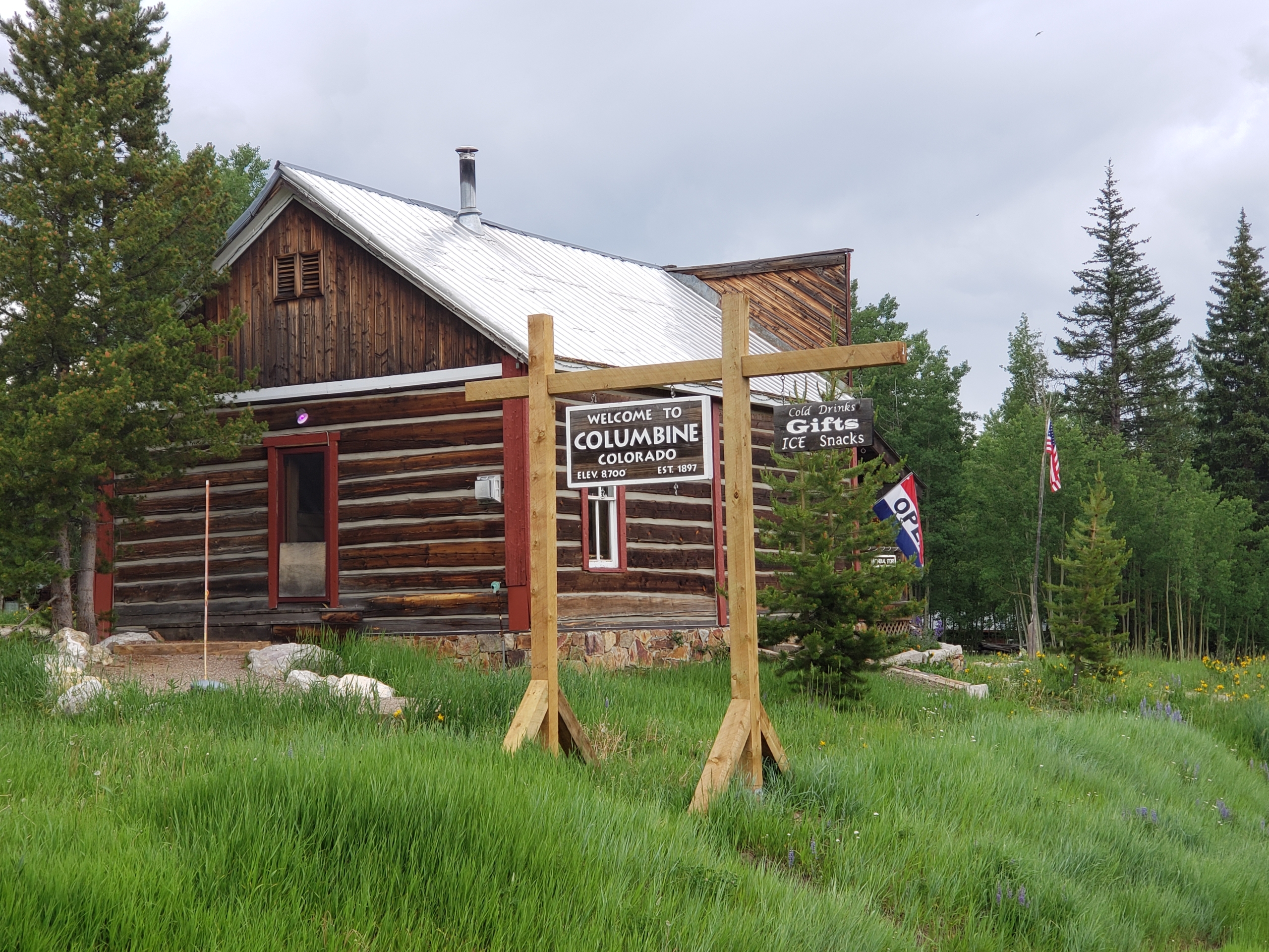
Located on County Road 129 about 15 miles south of the Wyoming border and 29 miles north of Steamboat Springs. There are 14 rustic, yet well-equipped, log cabins in the historic mining town of Columbine, Colorado. The town, on the National Register of Historic Places, features a modern shower house (for their non-bathroom cabins) and an authentic General Store which has ice, snacks, drinks, and they scoop ice cream made on site! Cabins have full kitchens, made beds, and towels.
- Address: 64505 Co Rd 129, Clark, CO 80428
- Phone: 970-879-5522
- Visit Website »
Riverbend Campground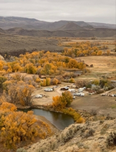
Located on the banks of the Little Snake River, right at the end of the COBDR and near the start of the WYBDR, Riverbend Campground is the perfect spot to rest and reset between routes. The scenic property offers campsites, trailer sites with full hookups, cozy cabins, and hot showers—everything you need after a long day on the trail.
- Address: 158 County Road 129, Slater, CO 81653
- Phone: 307-640-8407
- Email: [email protected]
The Dixon Motel & Club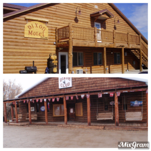
The Dixon Motel and Club is located 7 miles east of Baggs, WY on HWY 70. Our motel has single, double, triple, and quadruple rooms. Each room has a private bathroom, microwave, mini fridge, coffee pot, TV and free WIFI. Coin operated washers/dryers on site as well as 2 independent “trucker showers” for those that need to refresh. Dinners prepared with previous reservation at the Dixon Club, located across the street from the motel. You can enjoy an adult beverage while your food is prepared. Additionally, there is trailer parking for guests during your adventure.
- Address: 216 Cottonwood Street, Dixon, WY 82323
- Phone: 307-383-2300
- Visit Website »
Boyer Ranch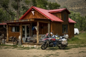
The Boyer YL Ranch is located close to the start of the WYBDR in Savery, WY, and is the perfect lodging destination to kick off your WYBDR trip. The ranch is owned by Jonathan “Jock” Boyer and his wife Kimberly Coats. The property includes a variety of accommodations, from a historic barn loft and cozy wood cabins to a 1972 John Wayne Bluebird bus. Meals are available upon request. Call for rate, or book directly.
- Address: 34 County Road 754, Savery, WY 82332
- Phone: 307-383-7778
- Visit Website »


