
Oregon Backcountry Discovery Route

The Oregon Backcountry Discovery Route (ORBDR) is the 12th route developed by the BDR organization for dual-sport and adventure motorcycle travel.
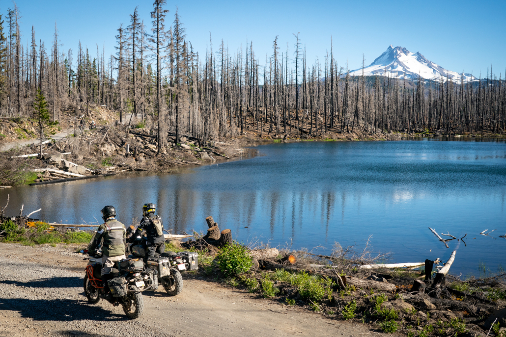
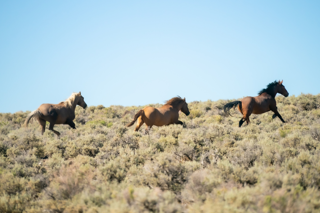
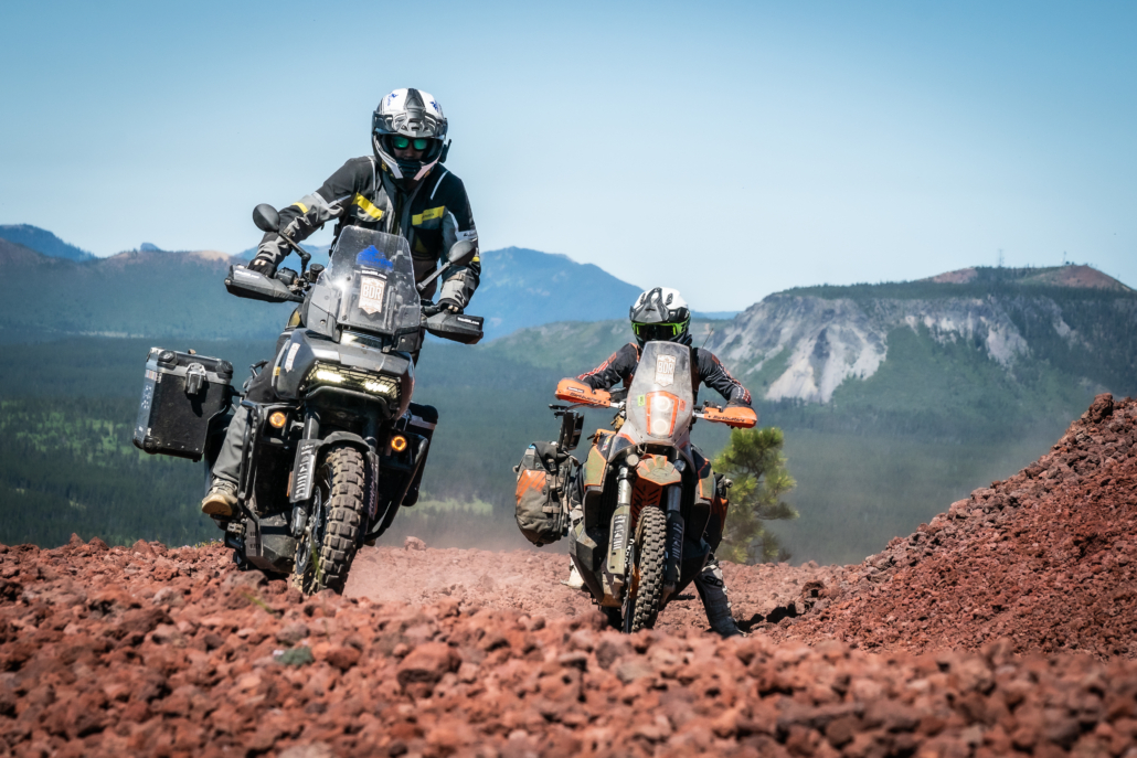
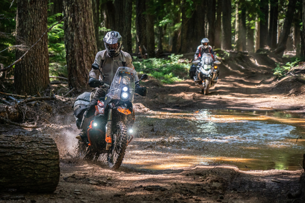
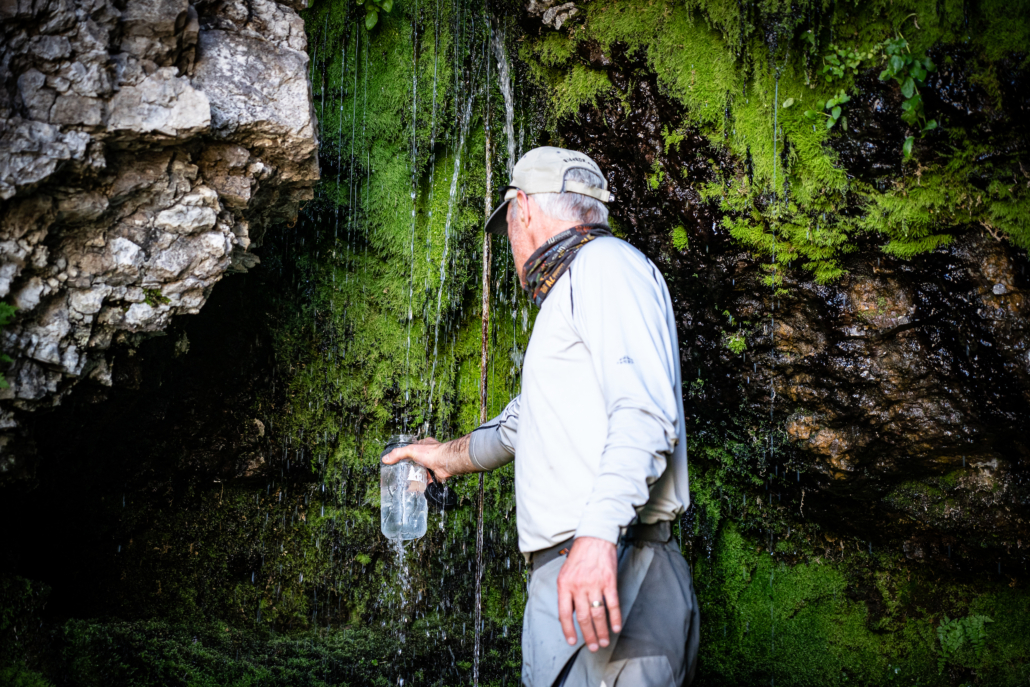
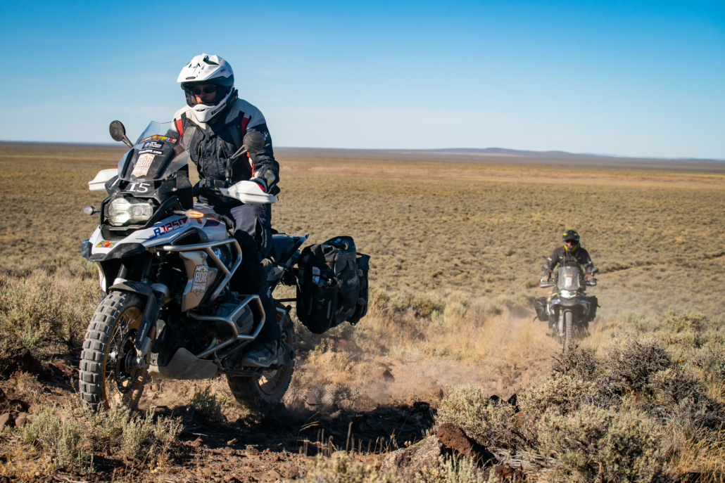
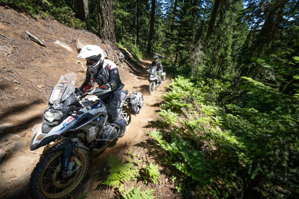
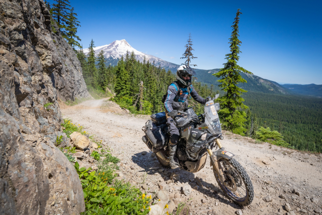
The Oregon Backcountry Discovery Route (ORBDR) is a 682-mile, multi-day off-pavement ride designed for adventure and dual-sport motorcycles. Starting at the terminus of the CABDR-N at the California border and exploring north through ancient pine forests and into the rugged mountains of the Cascade Range, challenges include lava rocks, silt, sand, and arduous mountain roads. From sagebrush steppe and hot springs, to caverns and glaciated volcanoes, riders are guided into remote territories that reveal many of the state’s natural wonders, providing prime sightseeing and recreational opportunities. With stunning views throughout and terrain that is certain to test your riding skills and endurance, the ORBDR is one of the best ways to discover the backcountry of Oregon.
Please note: Since the Oregon BDR was released, we’ve listened closely to rider feedback and learned from real-world experience on the route. In November 2025, we’re excited to introduce major updates to the first three sections of the ORBDR to improve rideability and extend the riding season. The original southern sections often faced closures due to wildfire restrictions and extreme summer heat in the high desert, making it difficult to complete the route from start to finish. The revised Sections 1–3 now travel through higher-elevation National Forests, offering cooler temperatures, more consistent conditions, and a longer, safer season to ride the full route—from mid-June through mid-October.
You can purchase the map with the addendum HERE, or, if you already own the 2nd Edition map, you can purchase the addendum separately HERE. Read more about the permanent update HERE.


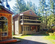
 Sunriver Resort
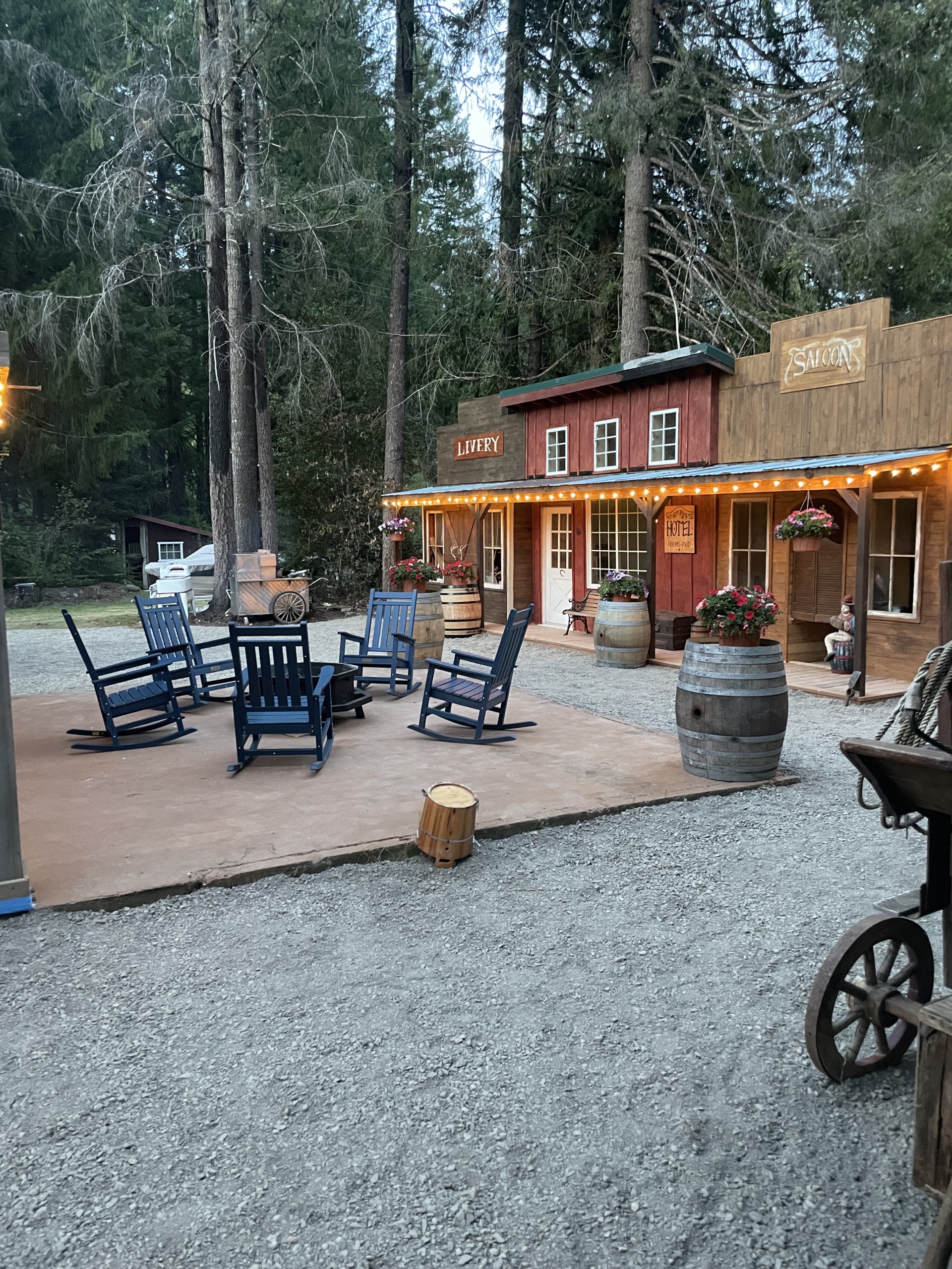
 Rushing River Retreat

