
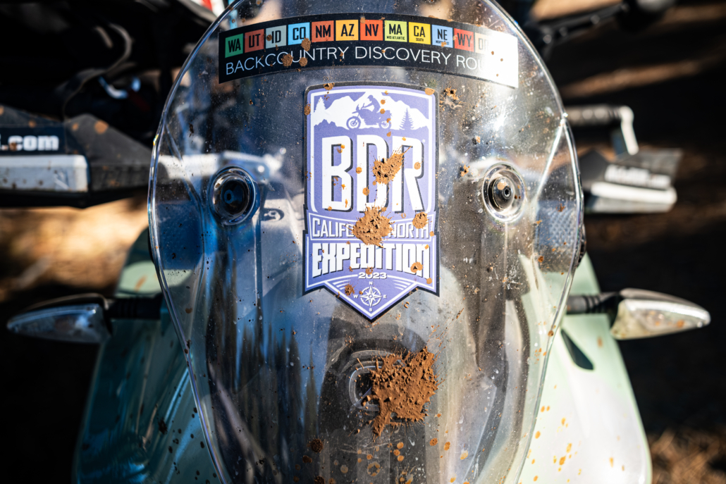
California North Backcountry Discovery Route

The Northern California Backcountry Discovery Route (CABDR-North) is the 13th route developed by the BDR organization for dual-sport and adventure motorcycle travel.
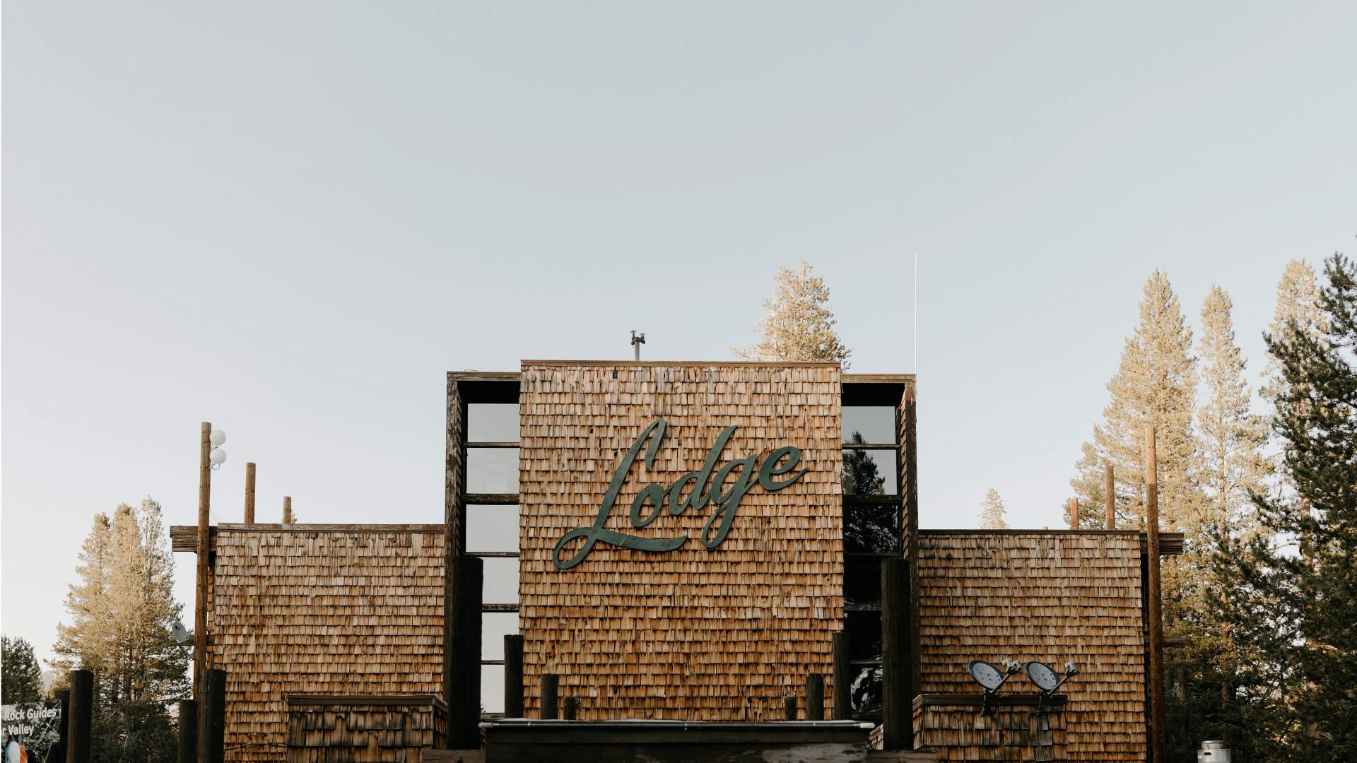
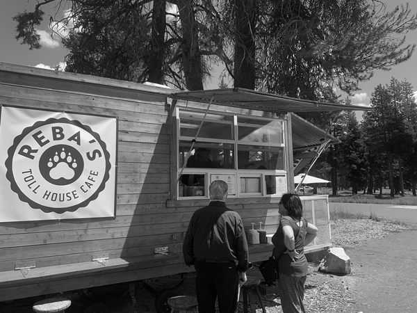
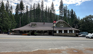
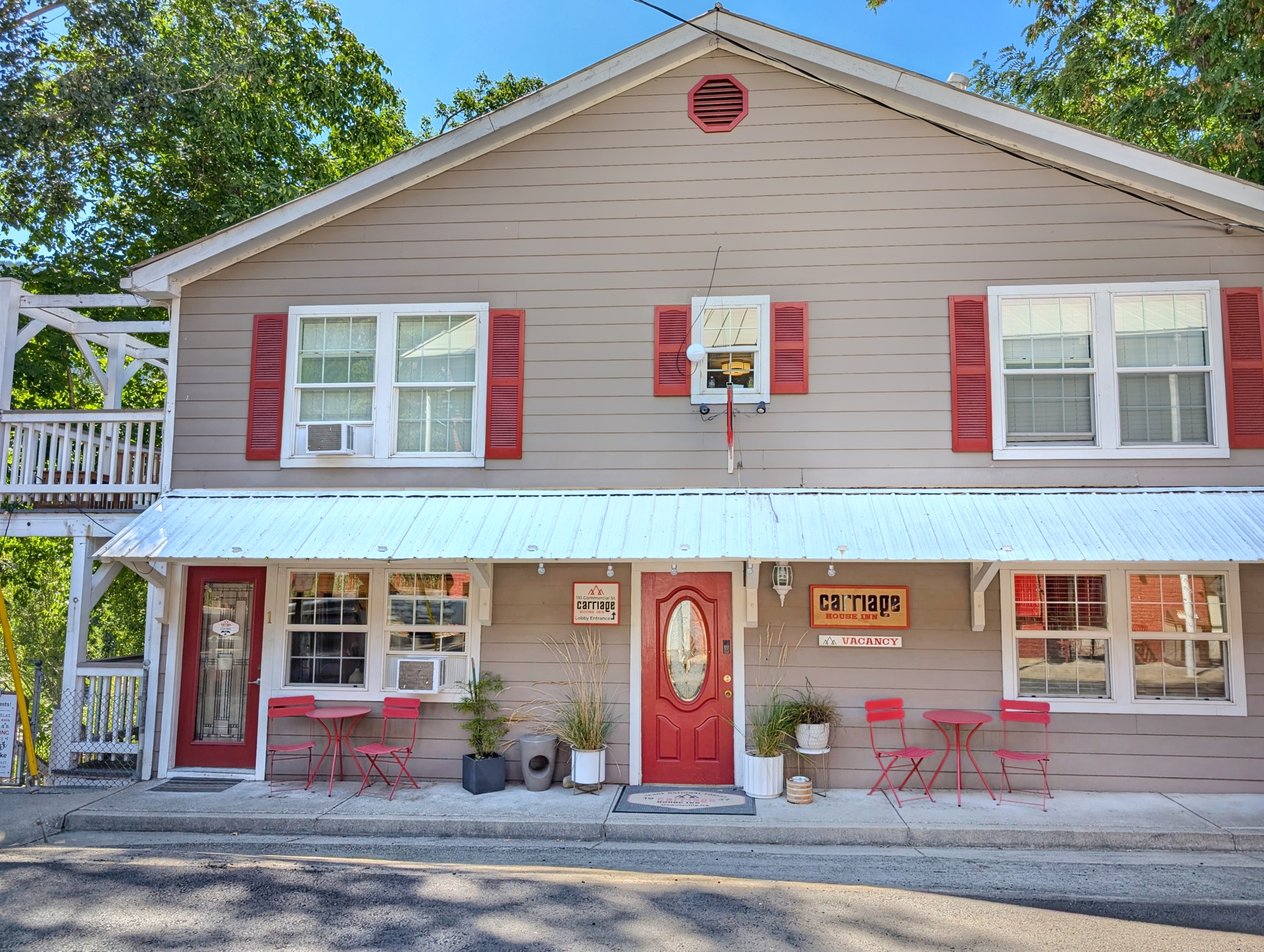
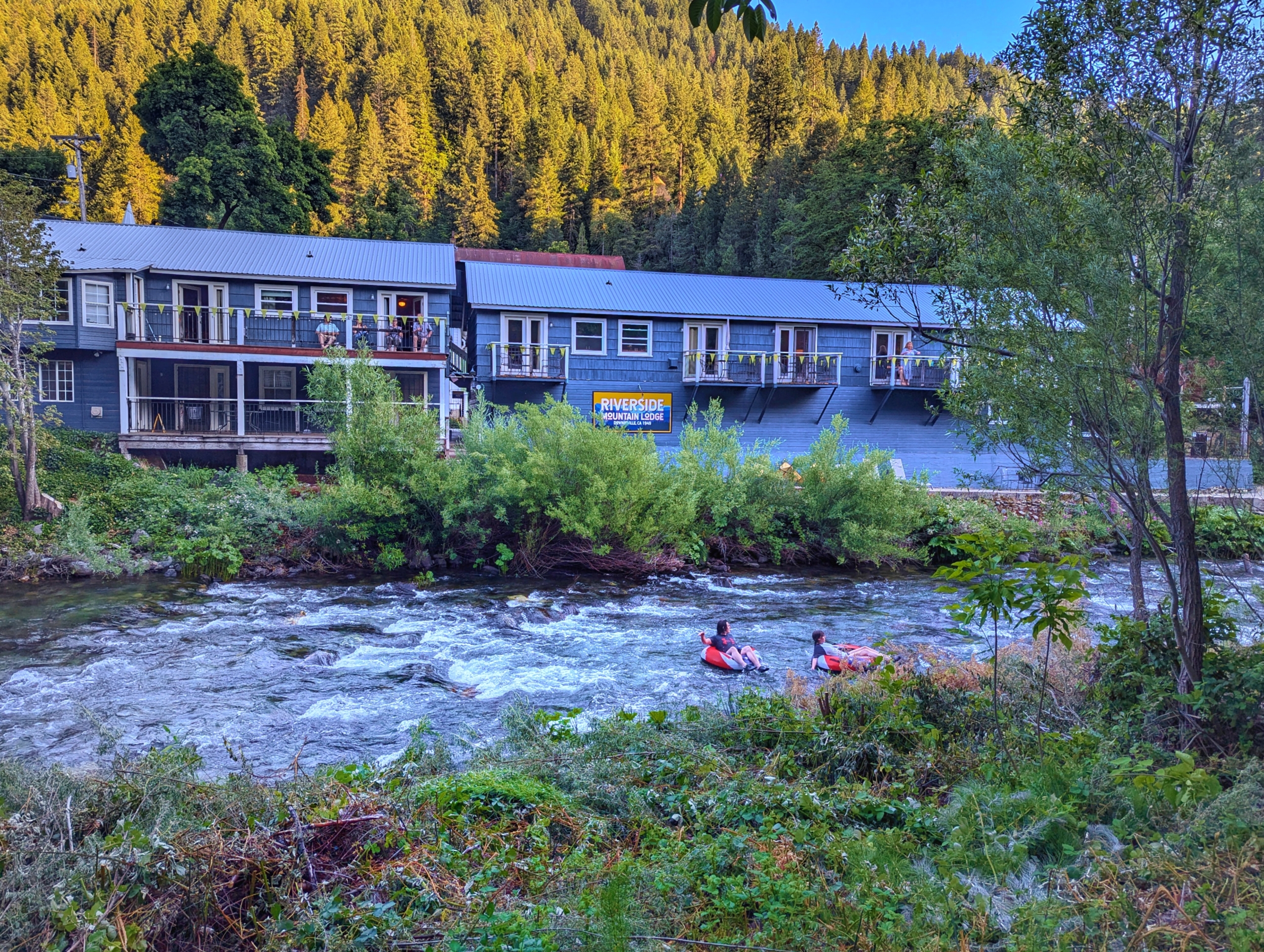
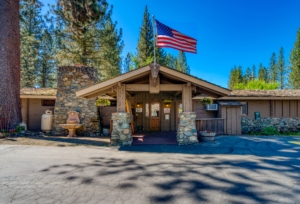
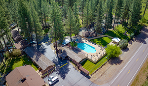
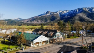
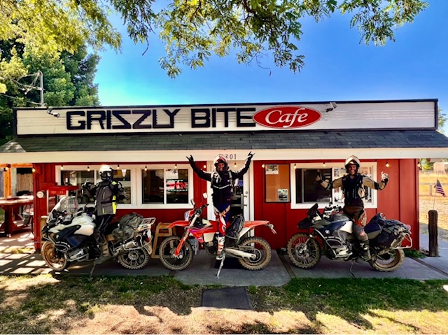
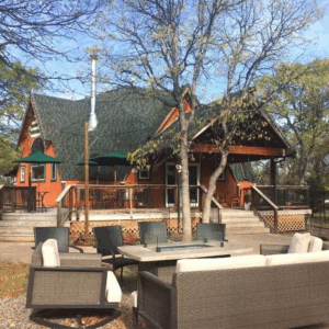
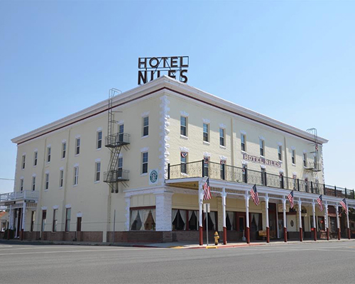
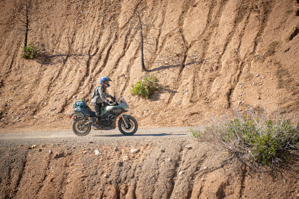
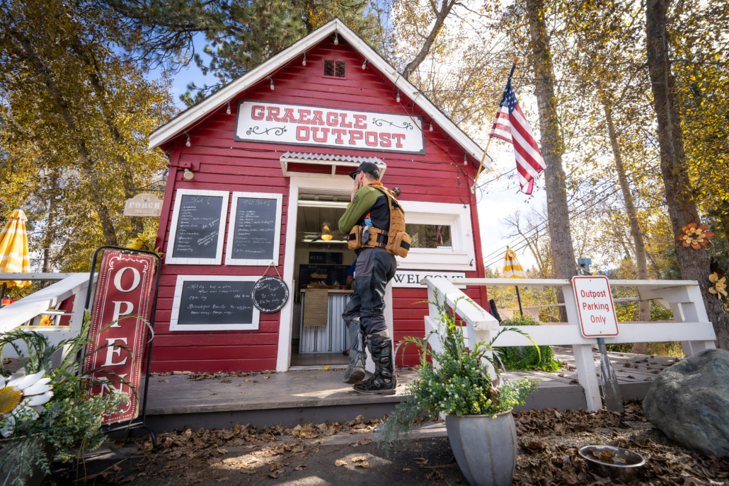
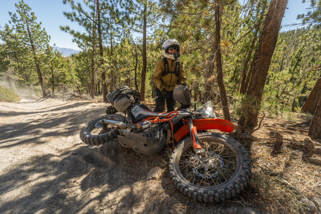
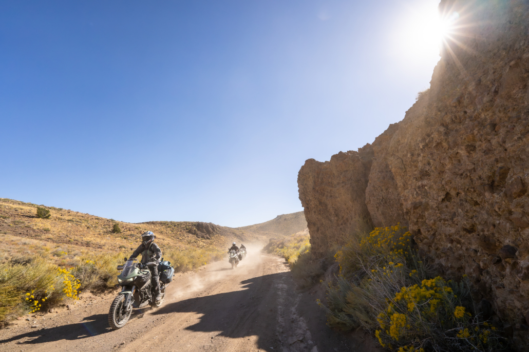
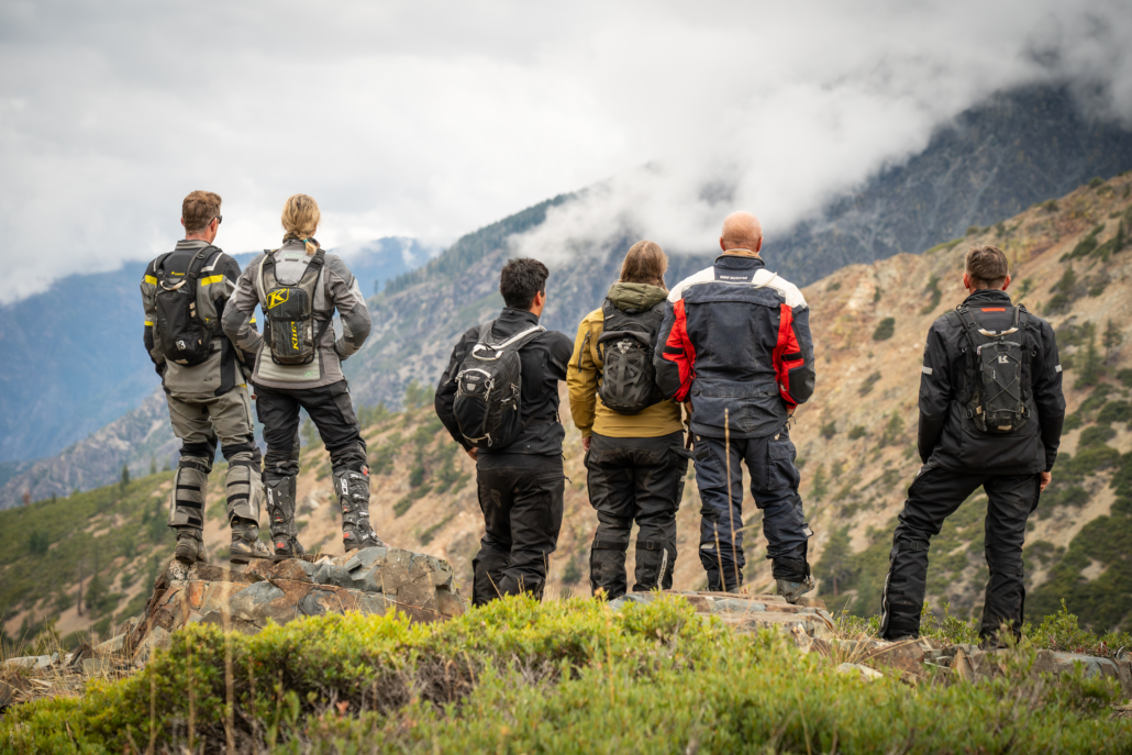
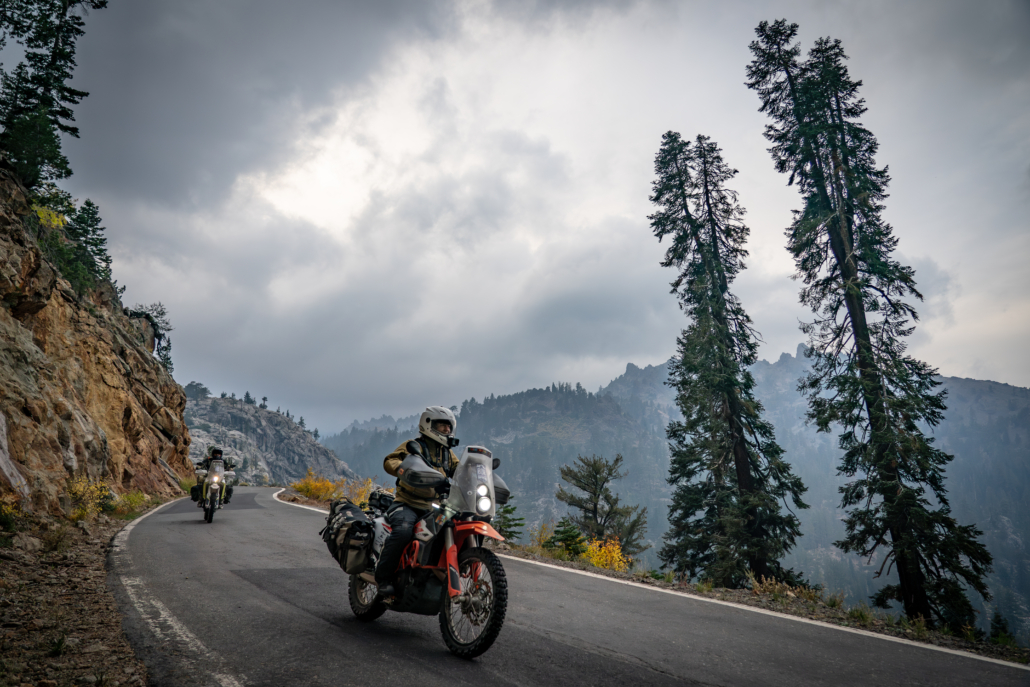
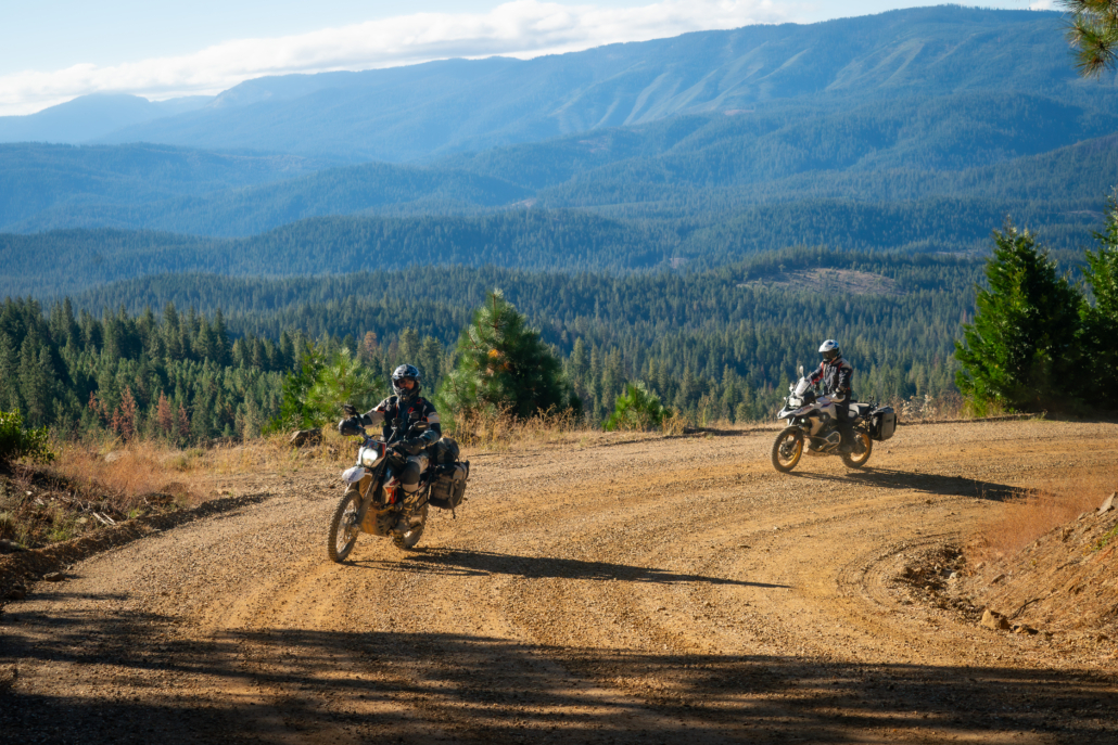
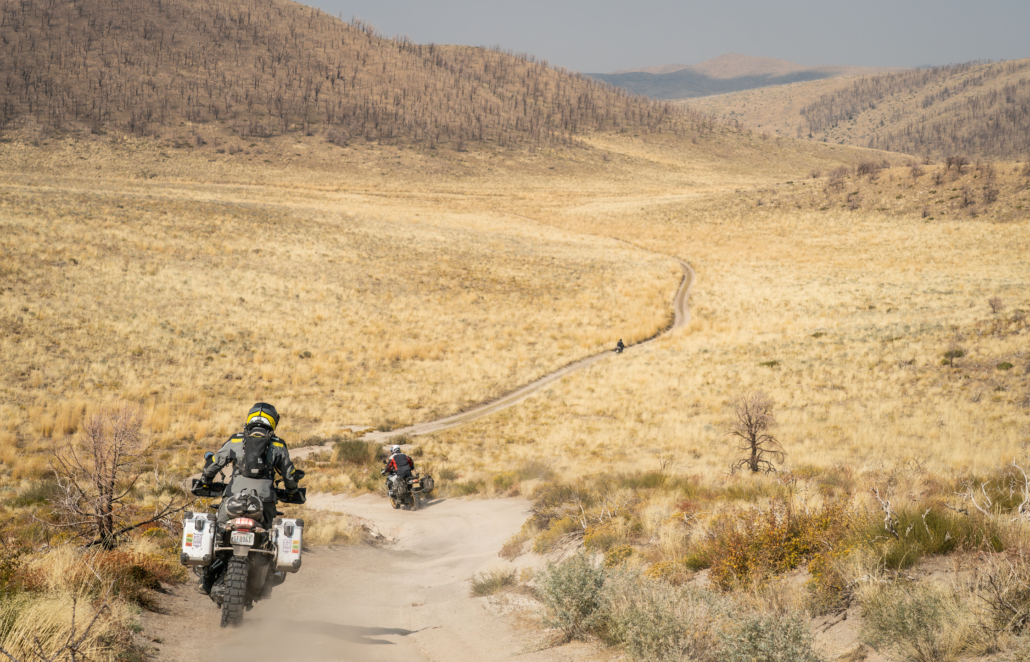
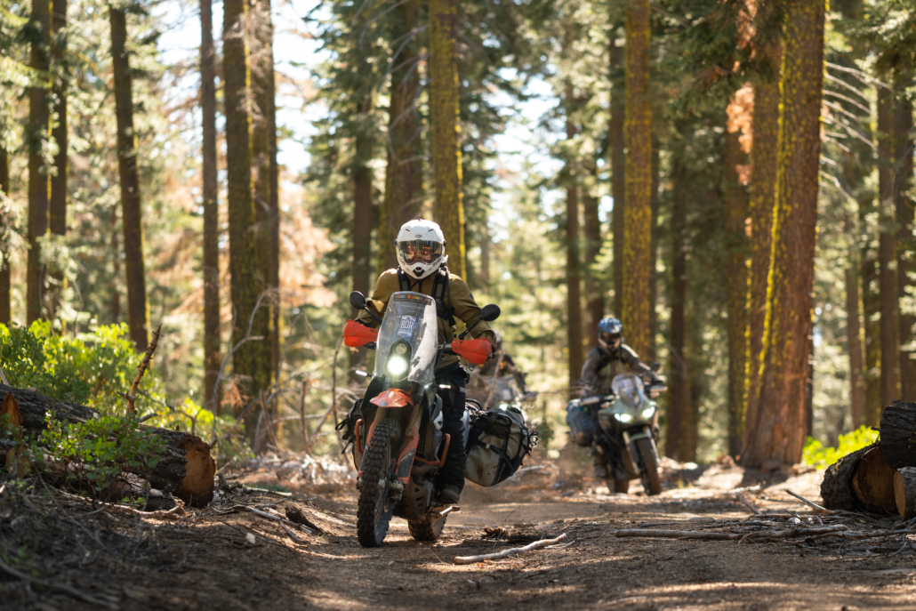
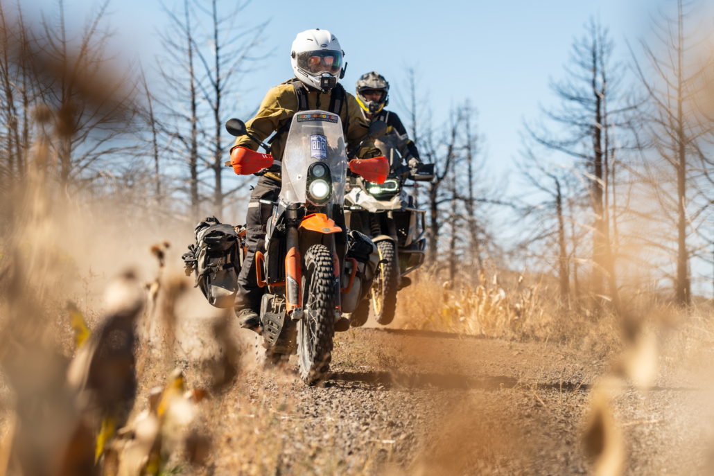
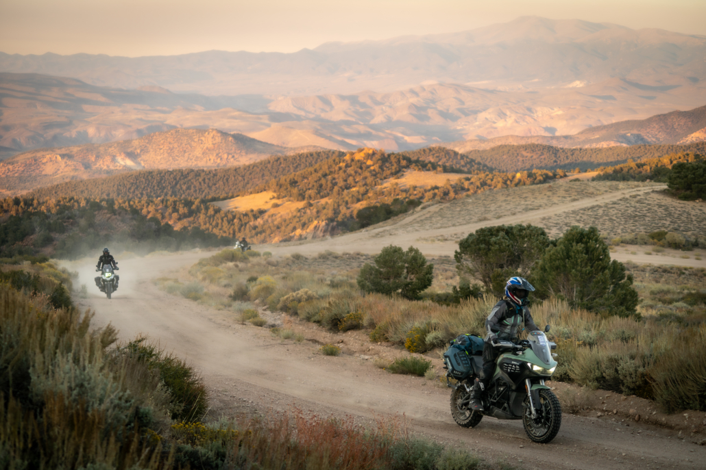
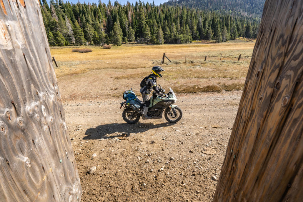
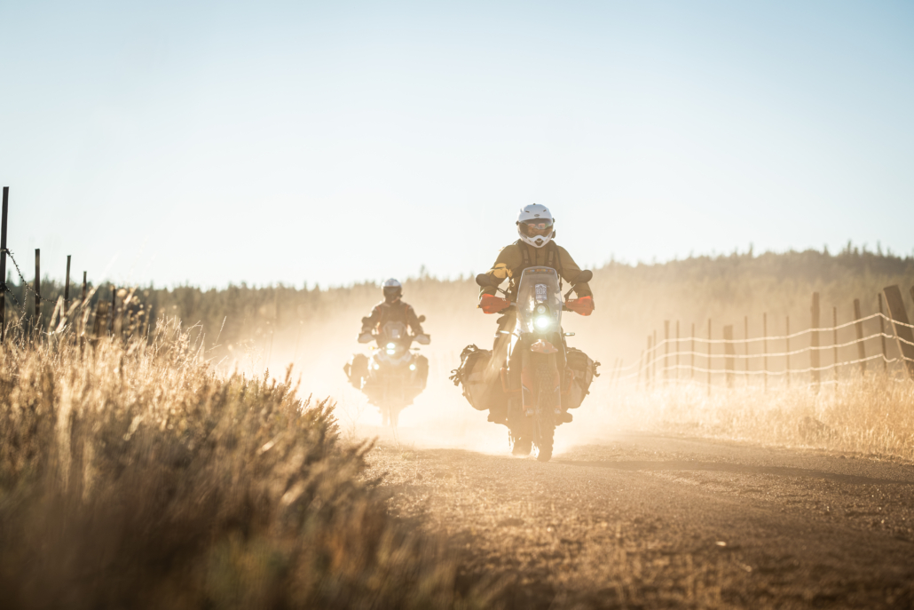
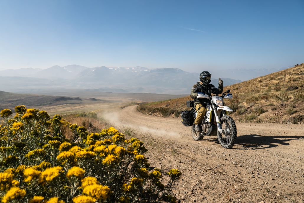
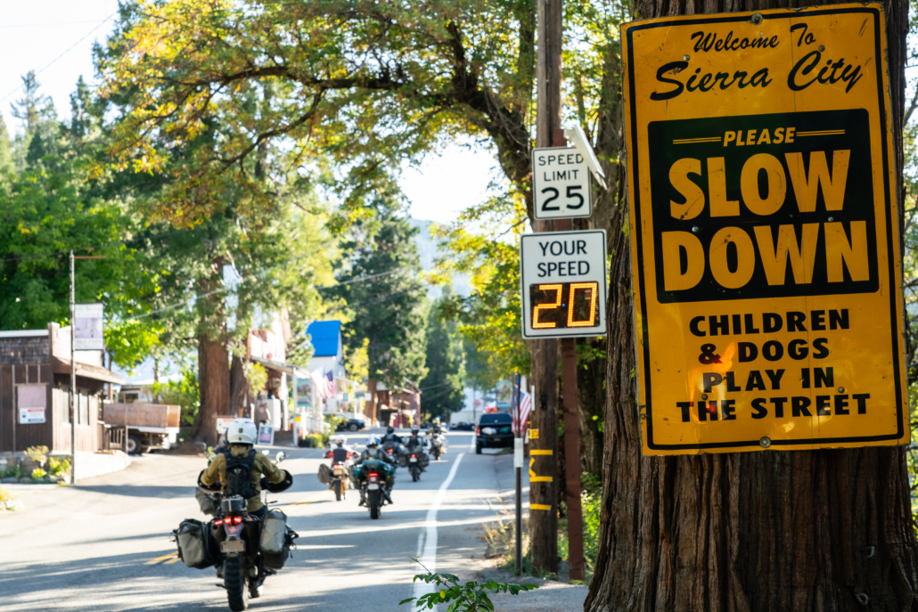
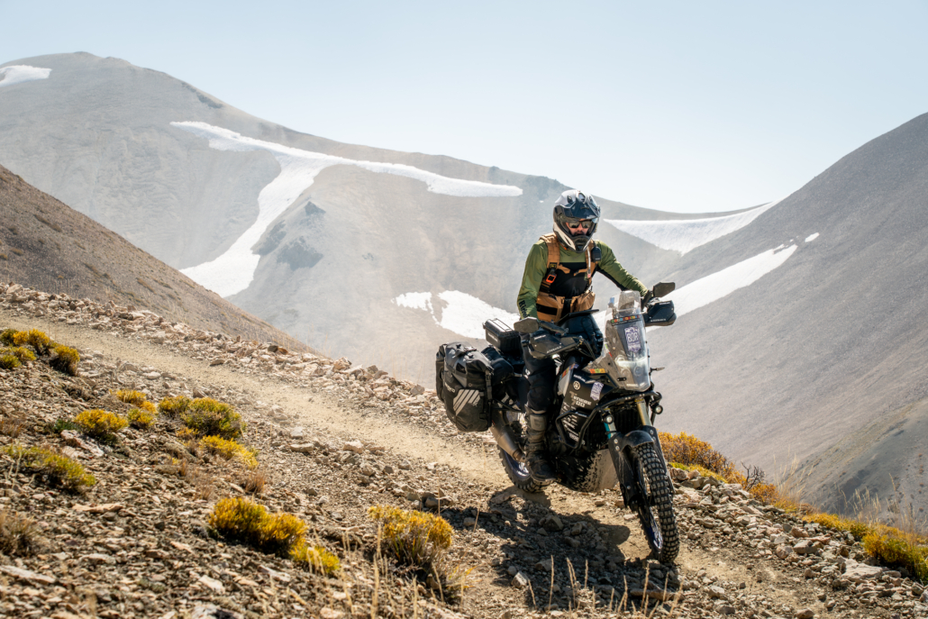
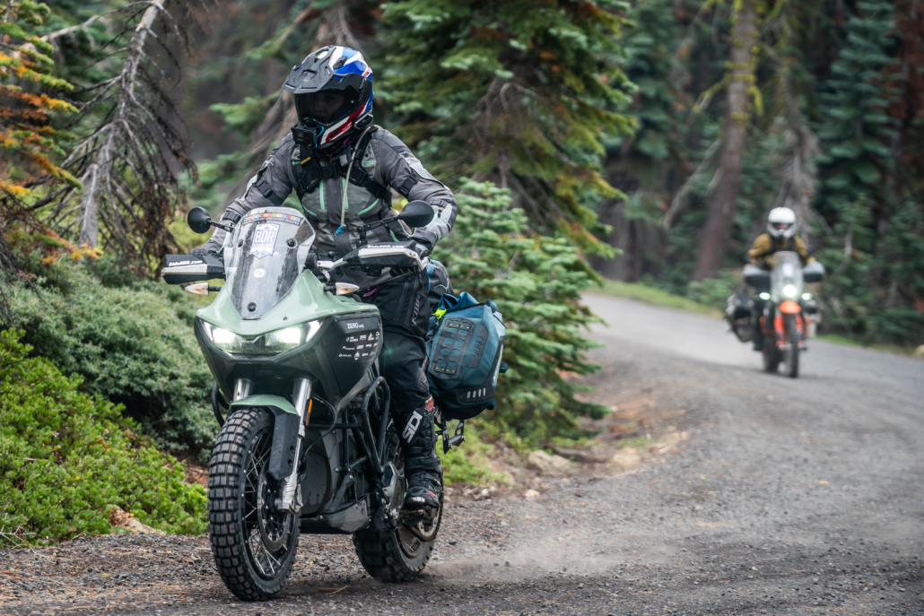
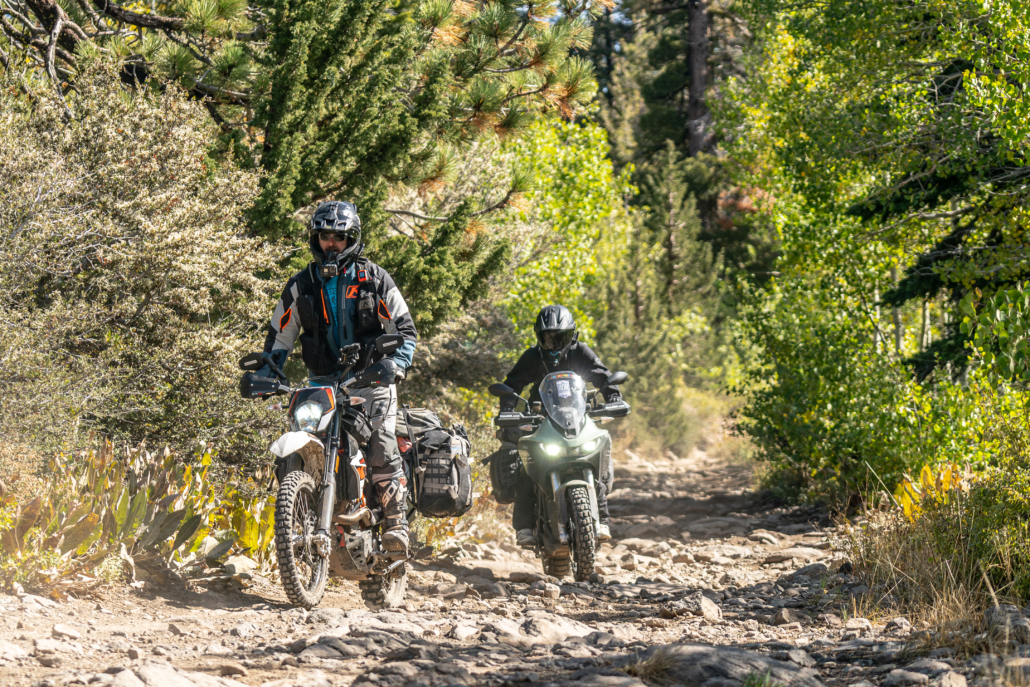
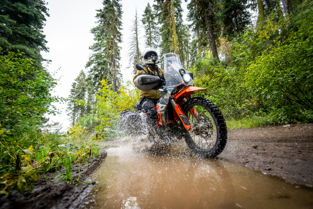
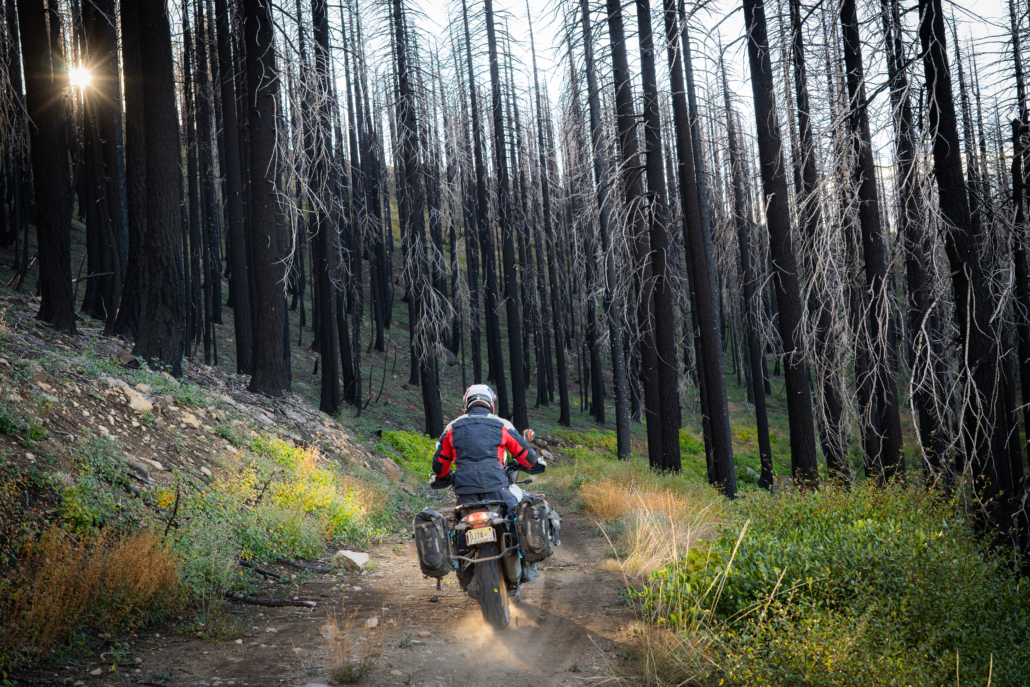
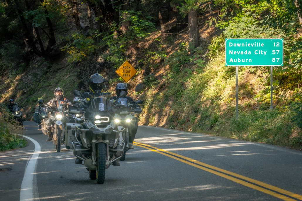
The Northern-California Backcountry Discovery Route (CABDR-North) is a 940-mile, off-pavement route designed for adventure motorcycles. Starting in Mammoth Lakes, CA atop Minaret Vista, you’ll traverse the Great Sierra Nevada Range’s conifer forests, mountain meadows, and gentle slopes, concluding in the high desert of the Modoc Plateau just north of Alturas, CA at the Oregon border. Ride blissful forested two-tracks, tackle rugged canyon and mountain roads, and ascend peaks to fire lookouts with unparalleled views. Explore quaint towns nestled in the High Sierra’s folds, with historic inns dating back to the 1880s. Beyond the thrill of the twisty roads and scenic vistas, you can delve into California history, discover relics of mining towns, and witness geological wonders. The route caters to riders of varying skill levels and offers optional challenging sections plus three expert segments. Immerse yourself in Northern California’s appealing blend of adventure, history, and epic scenery.
Read more about the route in the Film Trailer Press Release article.
* * *
ROUTE SPONSORS
This route was made possible with support from BDR Industry Partners
BMW Motorrad USA, Zero Motorcycles, Edelweiss Bike Travel, Outback Motortek


