
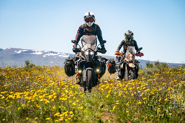
Steens Mountain / Alvord Desert Oregon BDR-X

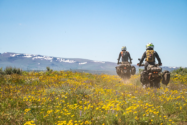
The BDR-X Steens Mountain & Alvord Desert is a loop off of the ORBDR Section 1 designed to showcase the striking contrast of Steens Mountain and the Alvord Desert, a 5000 feet elevation difference, in remote Southeast Oregon.
The total length is 250 miles and can be accomplished in two days. After the snow melts high on Steens Mountain and the roads open (around June every year) this loop can be ridden. It connects the Steens Mountain Loop Road, Moon Hill Road, Center Patrol Road in Malheur National Wildlife Refuge, and the Alvord Desert.
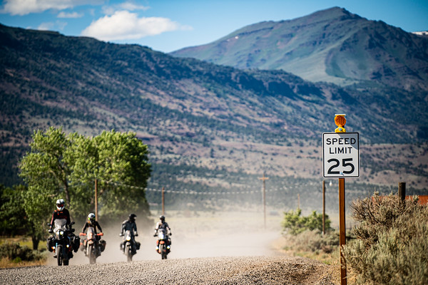
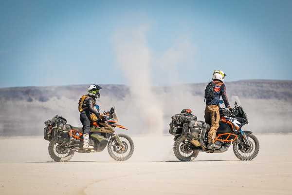
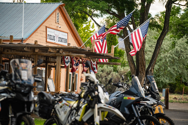
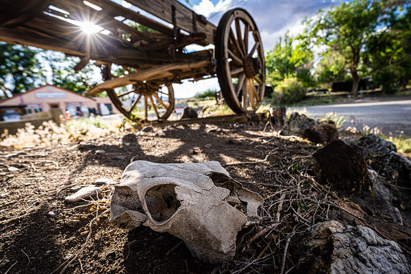
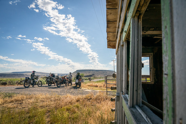
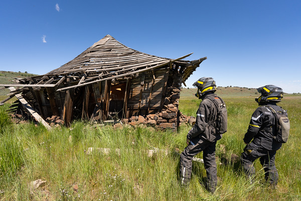
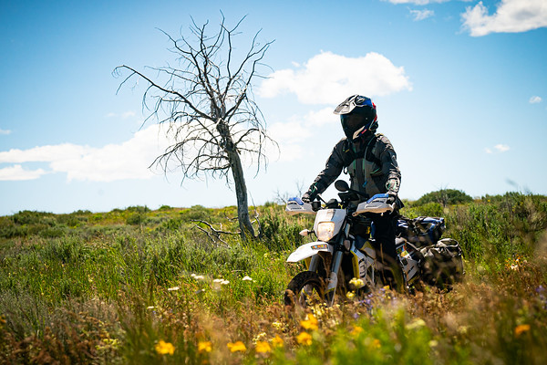
It’s hard to find a more diverse mix of surface terrain than this loop offers. Gravel roads, rocky double-track, dike roads, overgrown dirt roads, and open desert playa are all combined to make this BDR-X unique. Starting and ending in Fields, Oregon, this clockwise loop leads to Frenchglen, Diamond, The Narrows, and Alvord Hot Springs.
Important Notice:
There are a few important notes regarding the Steens/Alvord BDR-X Tracks:
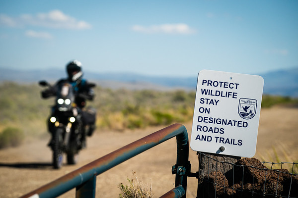
- The Steens Mountain Loop Road is usually open by mid-June but sometimes opens later during heavier snow pack years. The lower roads and campgrounds often are open by the start of June. To find out the status of campgrounds and roads, call the Burns District office at 541-573-4400 and check ODOT Trip Check.
- More information https://www.blm.gov/programs/recreation/recreation-activities/oregon-washington/steens-mountain and https://www.blm.gov/office/burns-district-office
- As always, be sure and download the latest .gpx file prior to your ride HERE


 Denio Junction Motel
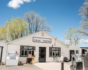 Fields Station

