ORBDR Route Updates
Updated August 31, 2026


Updated August 31, 2026
Visit the official ORBDR Facebook Group page for ride reports, photos, and discussions with other riders in your area HERE
Throughout the riding season, changing conditions are part of every BDR adventure.
Plan ahead, ride respectfully, and follow the BDR Tenets of Responsible Travel to help ensure a safe trip while respecting local communities and protecting access for everyone.
We often receive reports of riders speeding, not riding right, and blocking roadways in residential areas.
Please be courteous, respect local communities, and remember that adventuring in the backcountry is a privilege, not a right. Be an ambassador for our sport and help preserve access for future riders.
Doing a little homework before you leave and making good decisions on the trail helps ensure a safe trip while protecting the future of the BDRs for everyone.

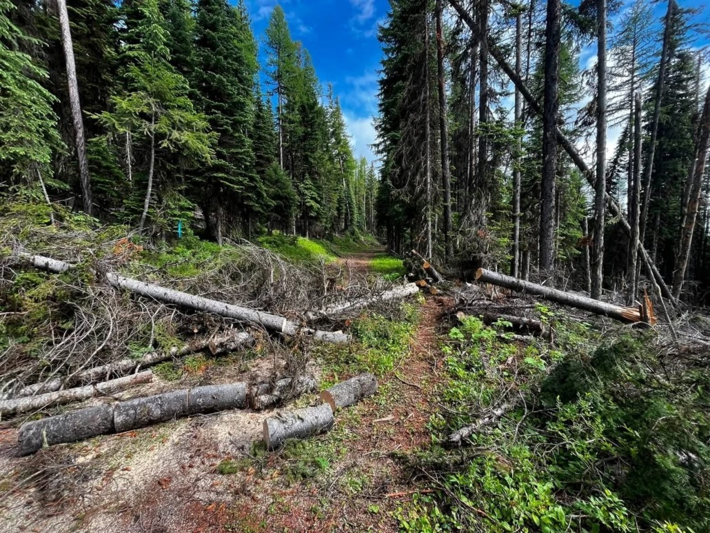
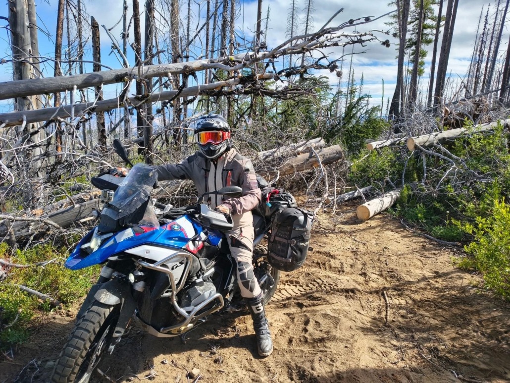
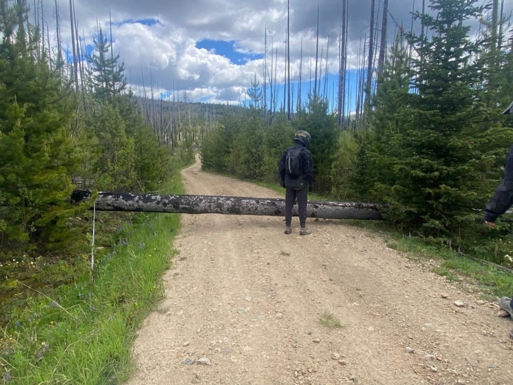
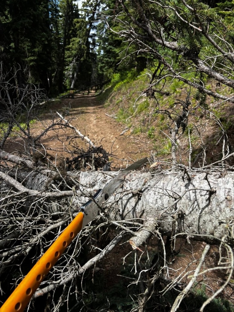
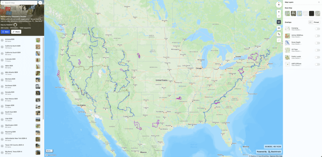
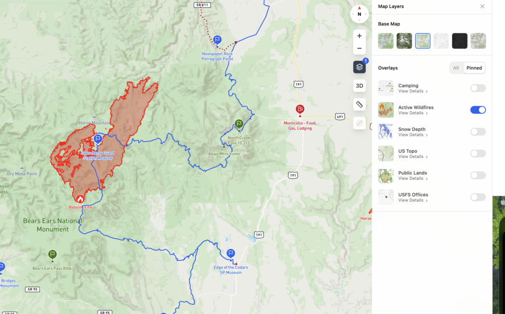
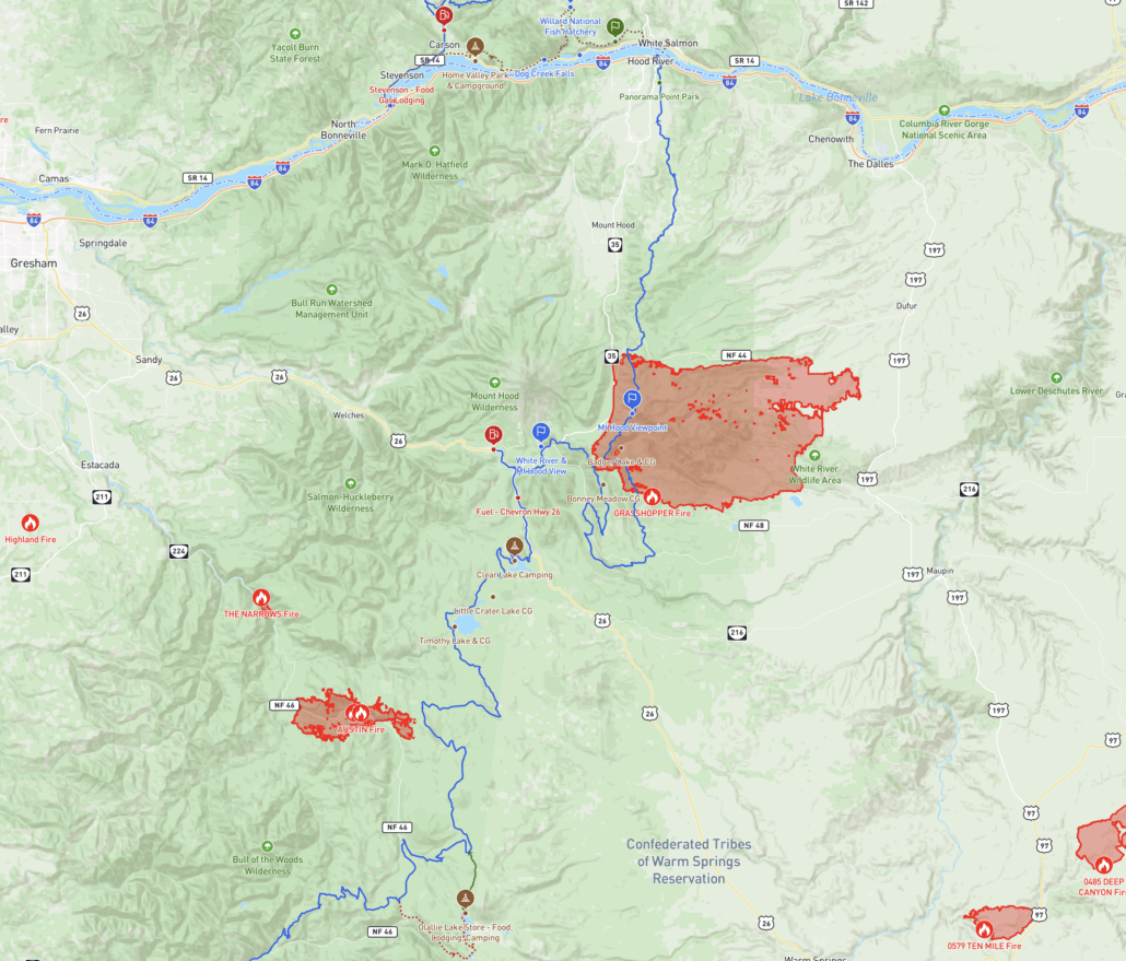
The Austin Fire and Grasshopper Fire are burning on Sections 6 and 7 and multiple closures are in place.
See attached screenshot for reference.
Purchase the official map for the ORBDR HERE
Always download the latest version of the GPS tracks just before you go HERE
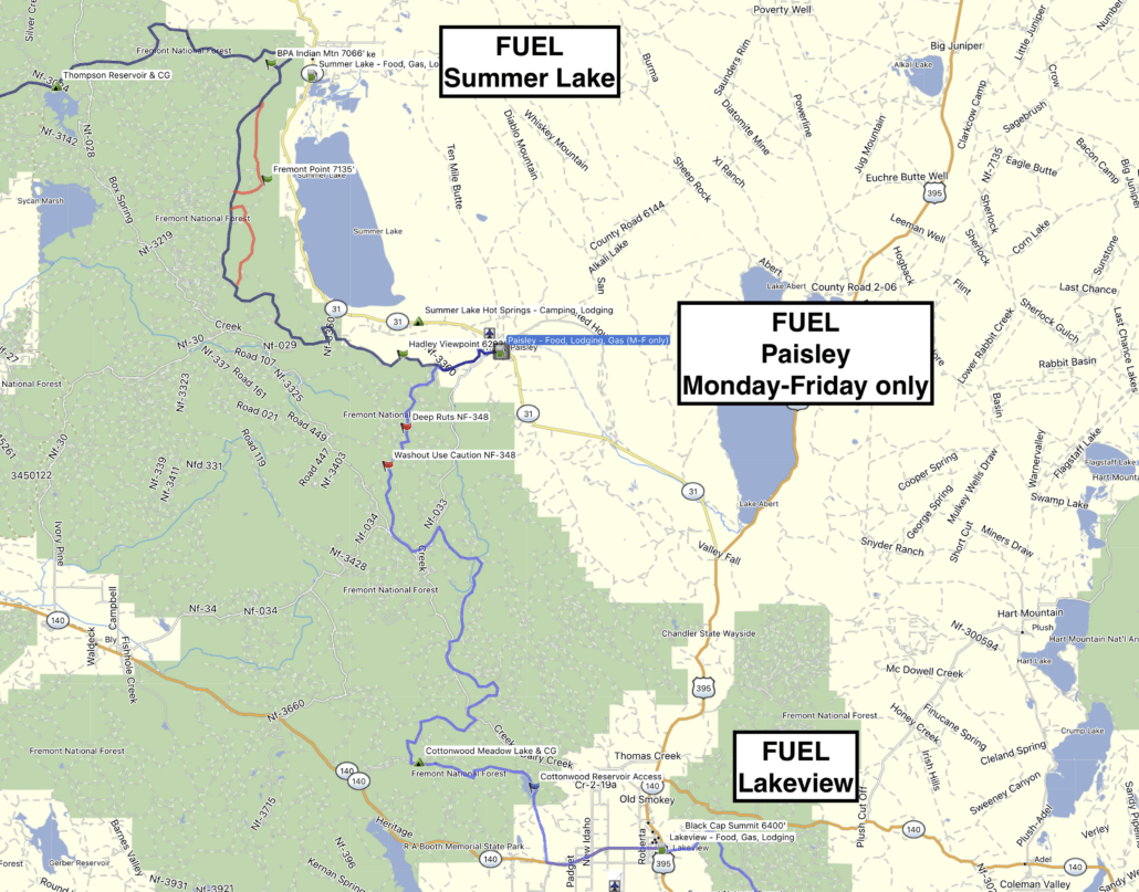
The gas station in Paisley at the end of Section 1 is only open Monday through Friday
See attached screenshot for reference.
Purchase the official map for the ORBDR HERE
Always download the latest version of the GPS tracks just before you go HERE
A new version of the ORBDR tracks is available labeled ORBDR-July2026
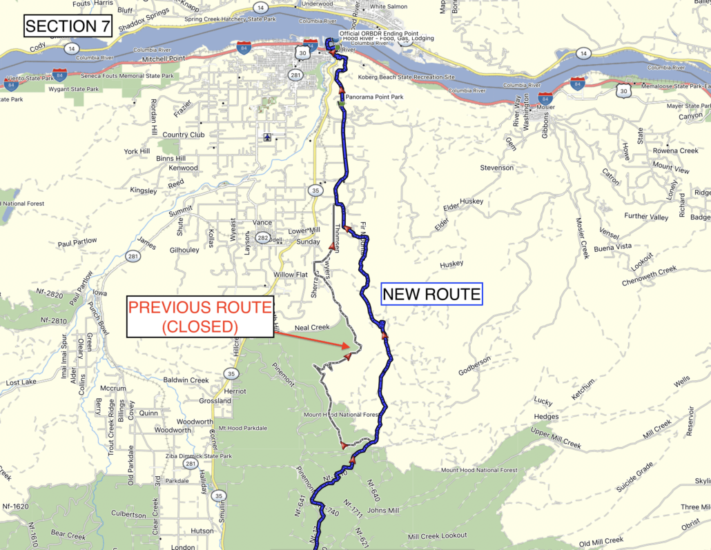
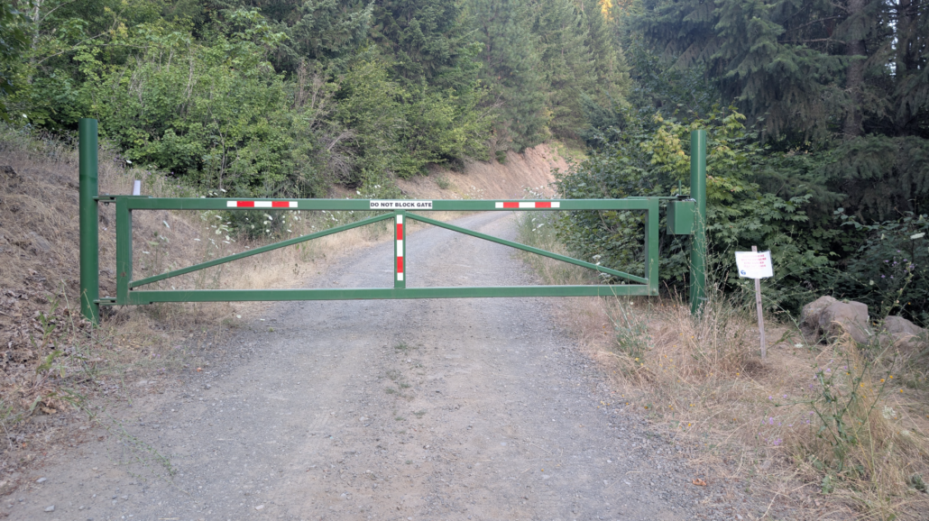
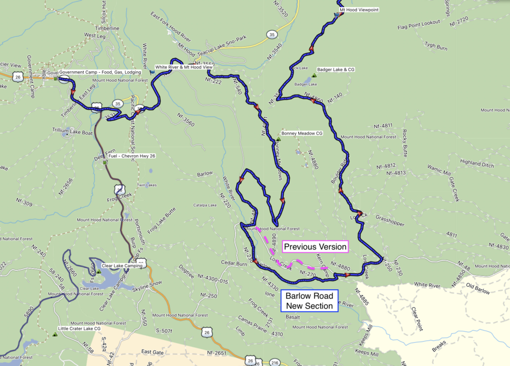
In addition to the significant revisions listed in the previous post, this update includes an important change to Section 7:
See attached screenshot for reference.
Purchase the official map for the ORBDR HERE
Always download the latest version of the GPS tracks just before you go HERE
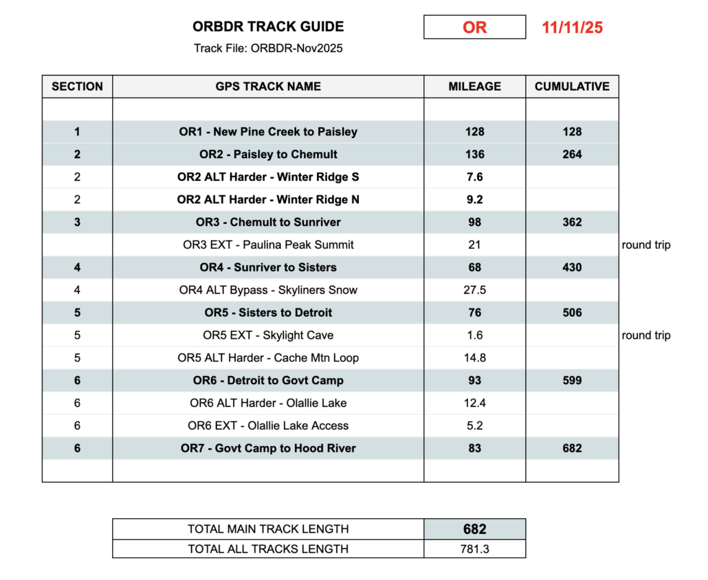
A new version of the ORBDR tracks is available labeled ORBDR-Nov2025
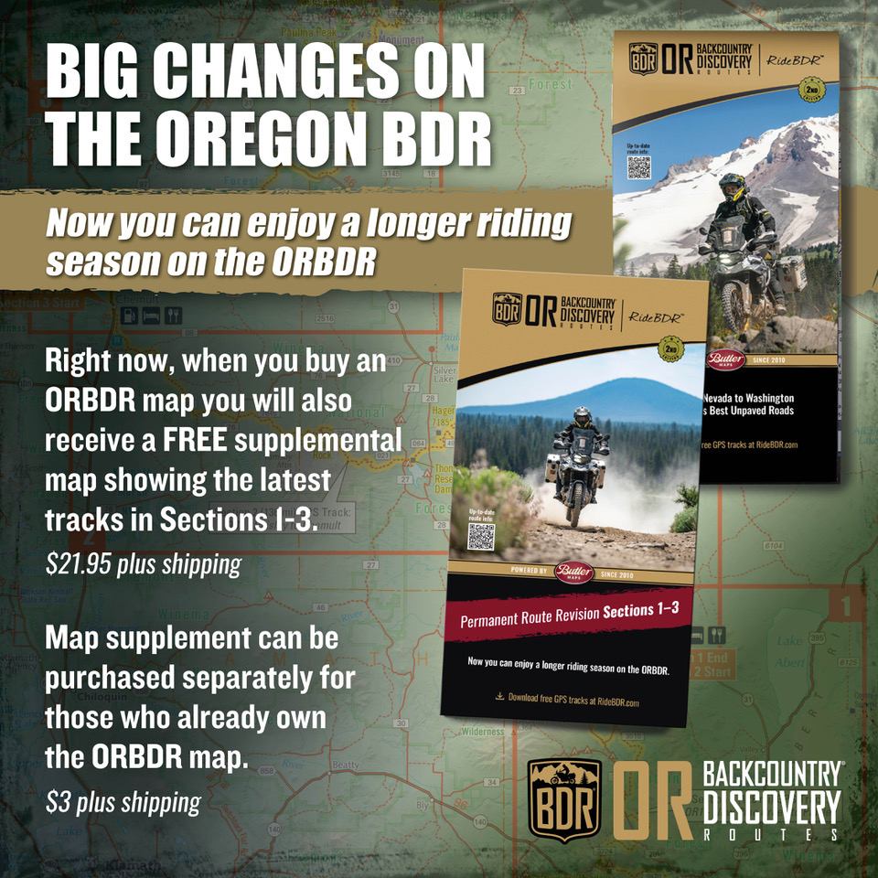
This update marks a significant and exciting change to the Oregon BDR.
Why the Change?
As an organization, we strive to deliver the best riding opportunities for our community, and the all-new revisions to the first three sections of the ORBDR are certainly no exception.
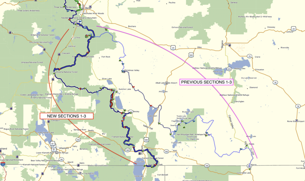
After releasing the ORBDR, riders faced logistical challenges with the original Sections 1-3 often being closed due to wildfire travel restrictions on BLM land and the Hart Mtn Wildlife Refuge. This, and the higher temperatures in the southern Oregon desert meant a very short window to safely ride the entire route from start to finish.
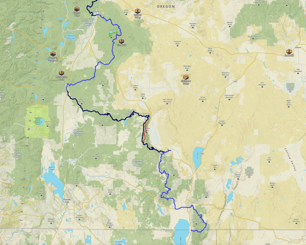
The newly revised Sections 1-3 start and remain in higher elevation National Forests to match a similar climate to the northern sections. This will ensure a more predictable and consistent riding season to run the entire route, whereas in the past by the time the northern sections opened in the Cascades after snowmelt, the southern three sections were too hot with temperatures over 100F and often closed for the remainder of the season, and deep sand was possible creating more difficult riding conditions. Given that the new sections start at a higher elevation, riders can expect to ride the entire updated route between mid-June and mid-October, depending on snowfall.
We as an organization love the original three sections, and our community can rest assured they will not go to waste. We are actively working on a brand new BDR-X in southeastern Oregon that will use the best parts of the original three sections combined with the best parts of the current Steens/Alvord BDR-X to create a brand-new longer and more comprehensive loop-style route in this region.
While we will no longer be advising on route conditions or publishing the original three sections as part of the ORBDR track file downloads, those roads and areas remain public and available to ride, and if you choose to venture into this area be mindful of the extreme summer heat and potential closures.
Creating the best routes for our community to ride while enabling a strong economic impact to small communities is our number one goal, and we’re delighted to release this significant change in an effort to do just that.


 ORBDR Film Premiere