BDR CONNECTOR ROUTES

Connector routes provide a BDR-style way to ride from the beginning or end of one BDR to another on enjoyable off-highway terrain with minimal highway travel. These routes are designed to enhance the adventure by extending the journey through scenic backcountry roads.

CABDR-South
to CABDR-North

66 MILES

Connects CABDR-South to CABDR-North

This 66-mile route connects the north end of the SoCal BDR in Benton Hot Springs to the start of the NorCal BDR in Mammoth Lakes on a collection of dirt and moderately sandy roads.

The route heads west from Benton on Hwy 120 before a quick left on Black Canyon Road, twisting and turning along the contours of Glass Mountain and the north edge of Long Valley Caldera.

An optional out and back to the top of Bald Mountain offers views of Mono Lake and is highly recommended. Dropping elevation, the route alternates between broken pavement and sandy sections toward a tunnel under Hwy 395, connecting Sawmill Cutoff into Mammoth Lakes.

CABDR-South (N)
to NVBDR at Tonopah

103 MILES

Connects CABDR-South to NVBDR at Tonopah

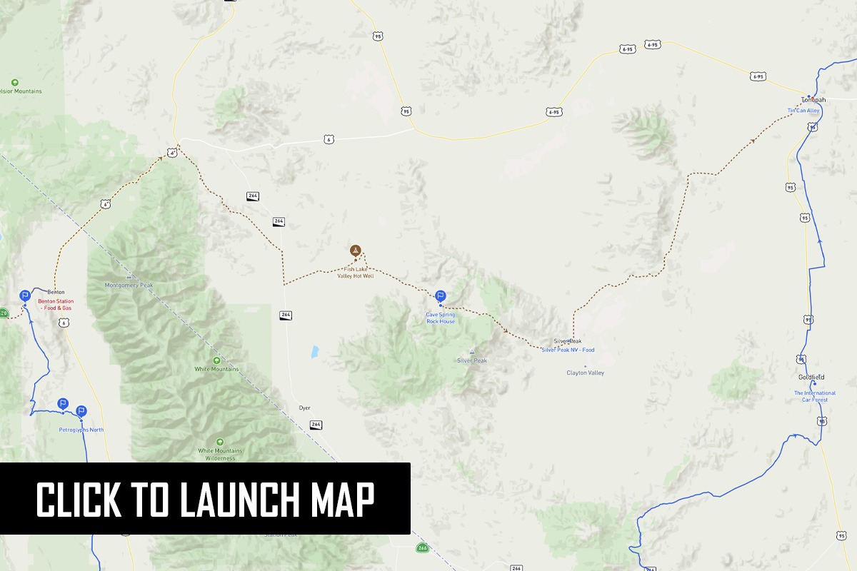
Designed to create a winter loop, this connector links the northern terminus of the CABDR-South route to the NVBDR at Tonopah. Avoid the standard, uninspiring Highway 6 route from Benton, California, and opt for these rugged, dirt backroads instead. The journey takes you through the historic Nevada mining town of Silver Peak and highlights multiple unique discovery points, including “Tin Can Alley,” a historic rock house, and a remote, developed hot spring.

CA-OR
to NV-ID

535 MILES

Connects CABDR-N (N) & ORBDR (S) to NVBDR (N) & IDBDR (S)

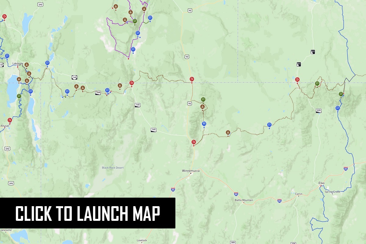
This long route connects four BDRs that share two endpoints. The southern starting point for the Oregon BDR was recently moved west to New Pine Creek which is where the Northern California BDR ends. This connector takes riders from New Pine Creek to Jarbidge NV where the Nevada BDR meets the Idaho BDR. So if you are connecting any two of those four BDRs, this route is our suggested way to do that. Be prepared for traveling in very remote places and on rugged unpredictable roads. In the summer months this area can be very hot and dry so road use restrictions can be in place.

COBDR (S)
to UTBDR (S)

101 MILES

Connects the south end of COBDR to the south end of UTBDR

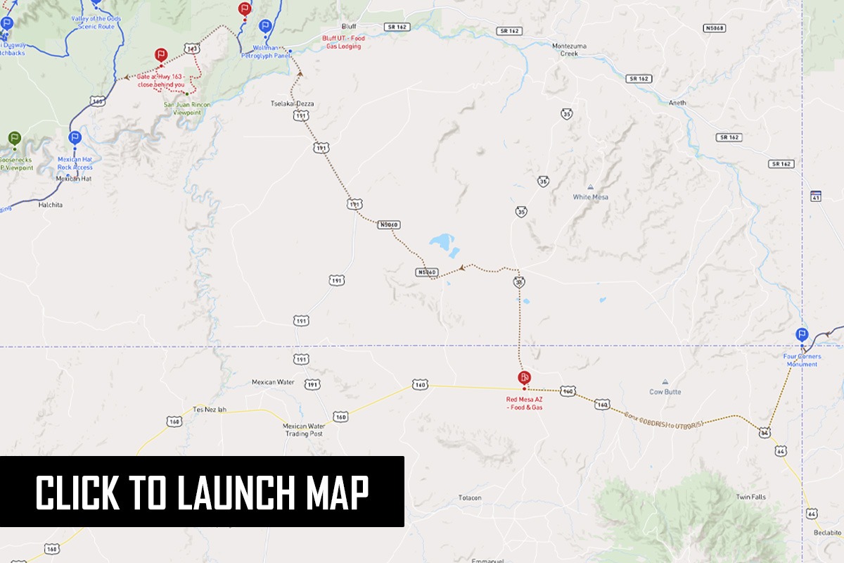
This route, which is mostly paved, connects the south end of the Colorado BDR at Four Corners to the south end of the Utah BDR at Monument Valley. The land between these two starting points is part of the Navajo Nation Reservation so most of the unpaved roads are not open to the general public. 

Luckily this route has a pleasant surprise in store for those who ride it. It’s an optional harder 8.5 mile red dirt road that has an excellent viewpoint at the rim of a rincon (former river path) of the San Juan River. Where it reconnects to the highway on the west end there is a gate that you’ll need to close behind you.

Full services on this connector are available in Bluff, Mexican Hat, and Monument Valley at Gouldings.

COBDR (N)
to WYBDR (S)

27.4 MILES

Connects the north end of COBDR to south end of WYBDR

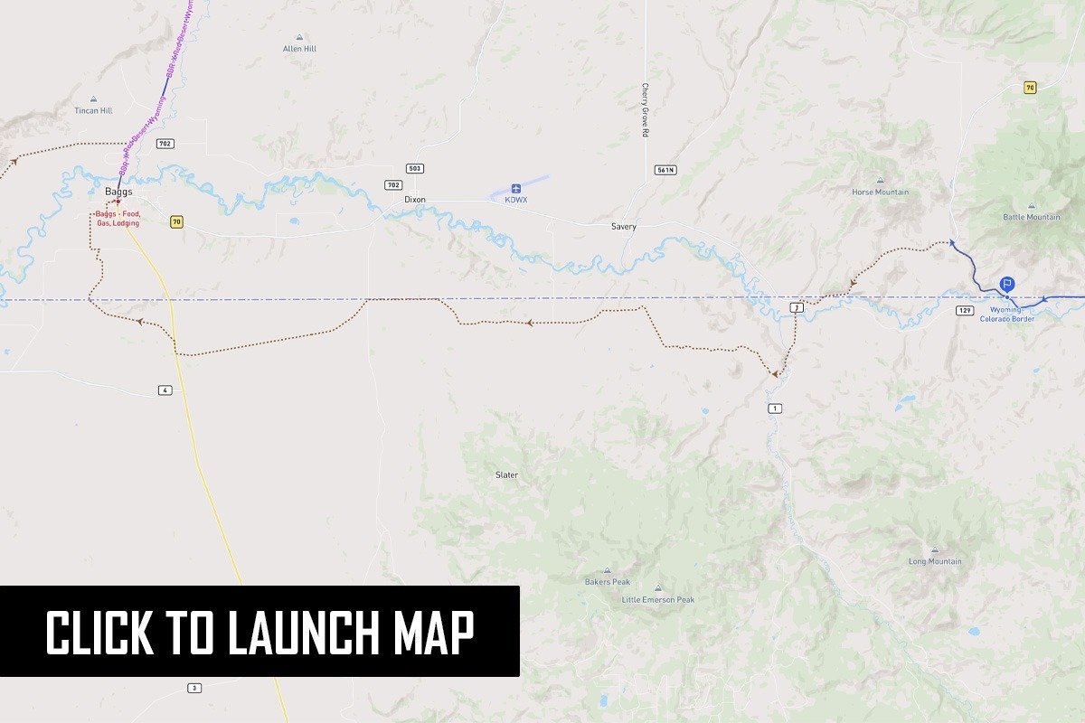
This short connector uses county roads in Colorado to get riders from the remote northern end of the Colorado BDR to the southern starting point of the Wyoming BDR in Baggs. It’s an easy dirt route that avoids having to ride on Highway 70.

IDBDR (N)
to MTBDR (N)

123 MILES

Connects the north end of IDBDR to north end of MTBDR

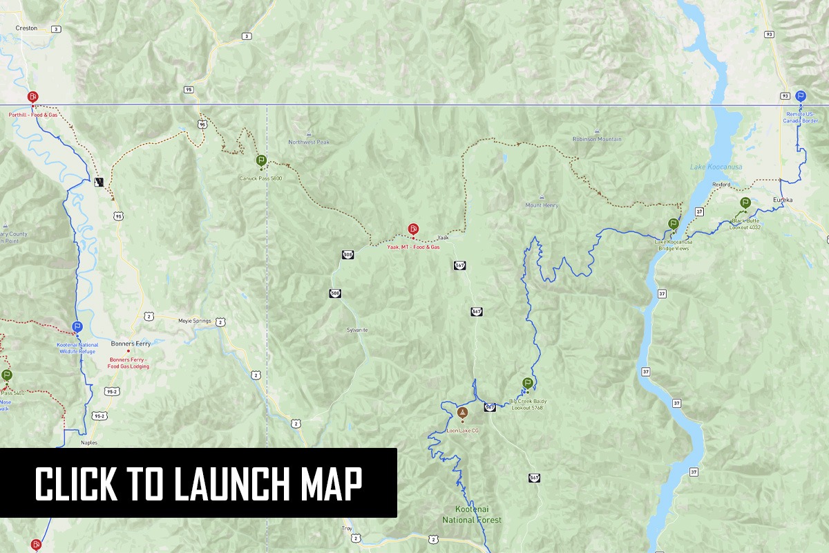
This 123-mile route connects the north end of the Idaho BDR to the north end of the Montana BDR near Eureka. The western portion is paved, but eventually reaches dirt roads as the connector climbs to Canuck Pass and the state border. More dirt roads on the Montana side descend to the Yaak River Valley and the small town of Yaak. From there it’s a meandering paved route down to Lake Koocanusa and then Eureka.

MABDR (N)
to NEBDR (S)

142 MILES

Connects the north end of MABDR to south end of NEBDR

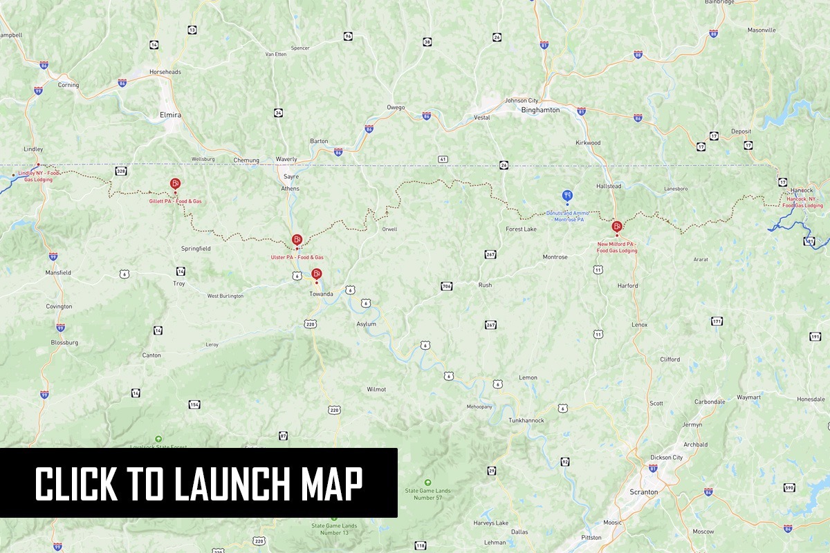
This long-awaited connector bridges the gap between the north end of the Mid-Atlantic BDR at Lawrenceville, PA and the southern start of Northeast BDR at Hancock, NY. It features sections of fantastic dirt forest roads and twisty tarmac. At 142 miles, this track can be accomplished by the average rider in just a day, and features plenty of fuel and lodging opportunities, plus camping in Salt Springs State Park.

NMBDR (N)
to COBDR (S)

253 MILES

Connects the north end of NMBDR to the south end of COBDR

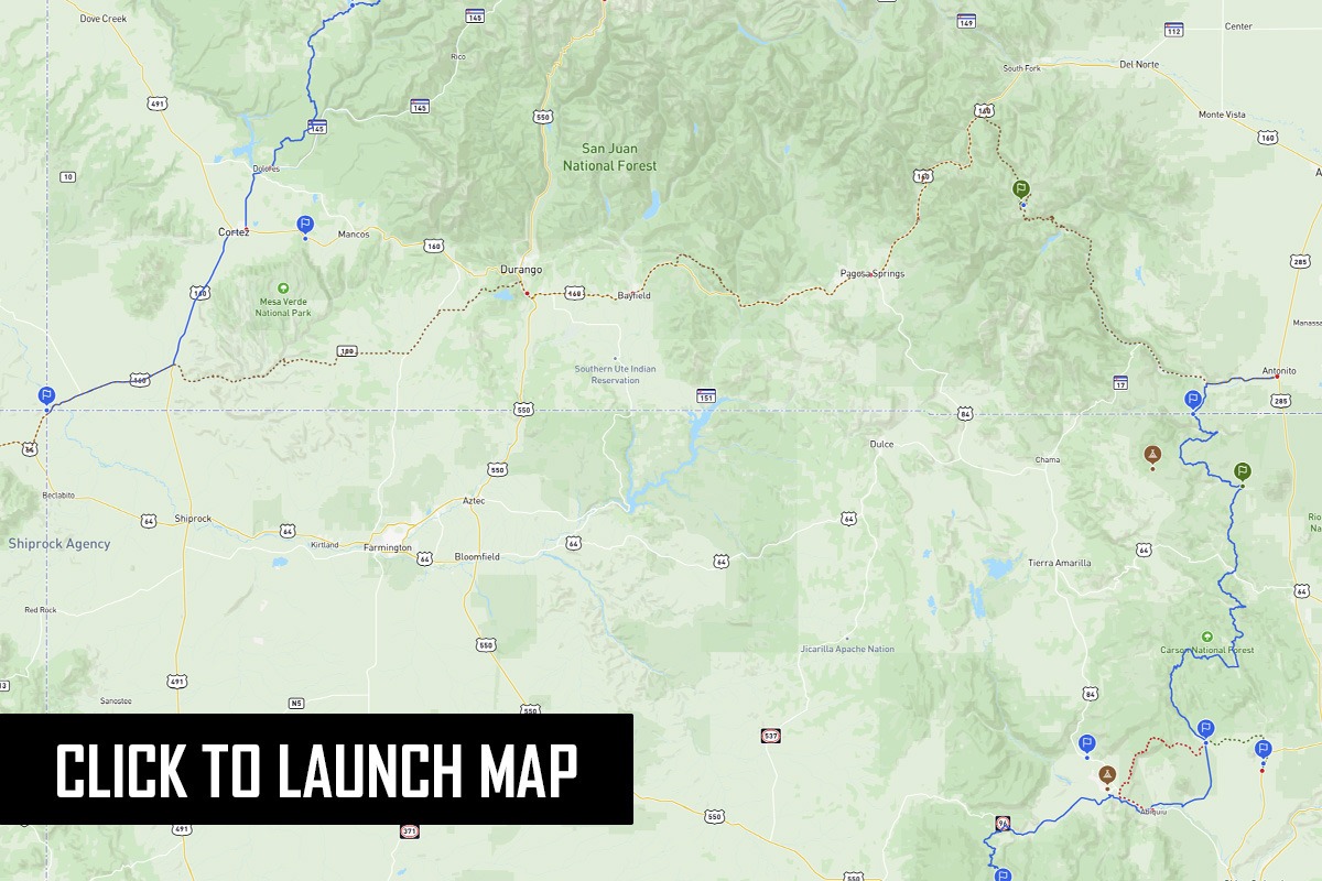
This connector starts in Antonito and meanders through southern Colorado on the way to the start of the COBDR at Four Corners. Broken into three sections, it can be done in one long day or with a stay in Pagosa Springs or Durango where full services can be found.

After leaving Antonito the route climbs to 11,676 at Elwood Pass. Those who want a challenge can ride an optional harder section on rugged roads that immediately leave the pass and descend toward Pagosa Springs. The next section of pavement is broken up by 13 miles of fun dirt roads in San Juan National Forest. The final stretch from Durango to Four Corners is almost entirely in the Ute Mountain Reservation. Note that there is no gas station at Four Corners, so if you plan to ride all the way there to start the COBDR, it’s 117 miles total from Durango to the first station in Cortez.

ORBDR (N)
to WABDR (S)

34 MILES

Connects the north end of ORBDR to south end of WABDR

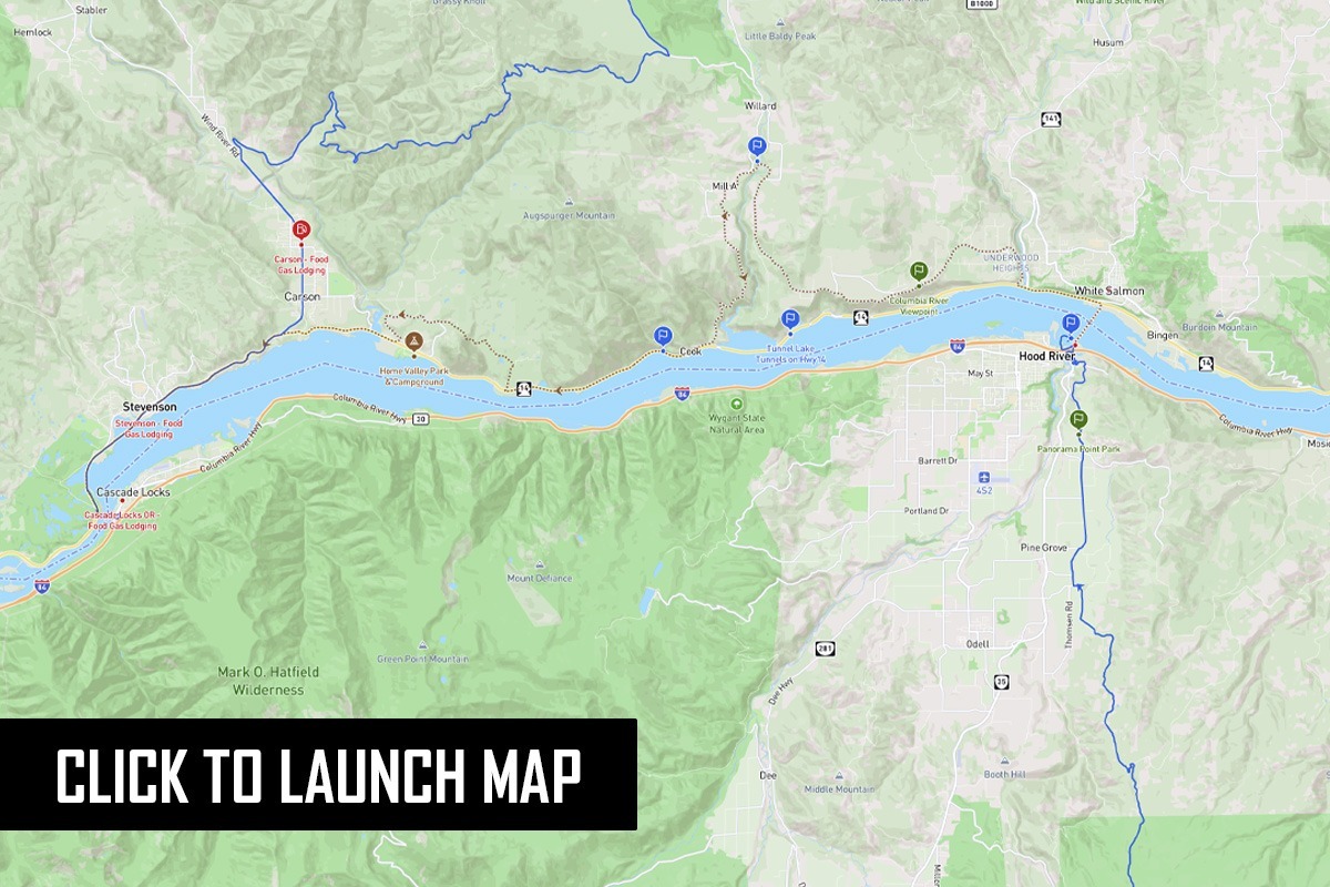
This short but sweet connector takes you from the north end of the Oregon BDR in Hood River, OR to the southern end of Washington BDR at Bridge of the Gods near Stevenson WA. It uses Highway 14 and lesser traveled roads on the Washington side of the Columbia River instead of the much less motorcycle-friendly Interstate 84 on the Oregon side. Waterfalls, a fish hatchery, and expansive views of the Columbia and Mount Hood are available en route.

UTBDR (N)
to ID-NV

336 MILES

Connects the north end of UTBDR to north end of NVBDR and south end of IDBDR

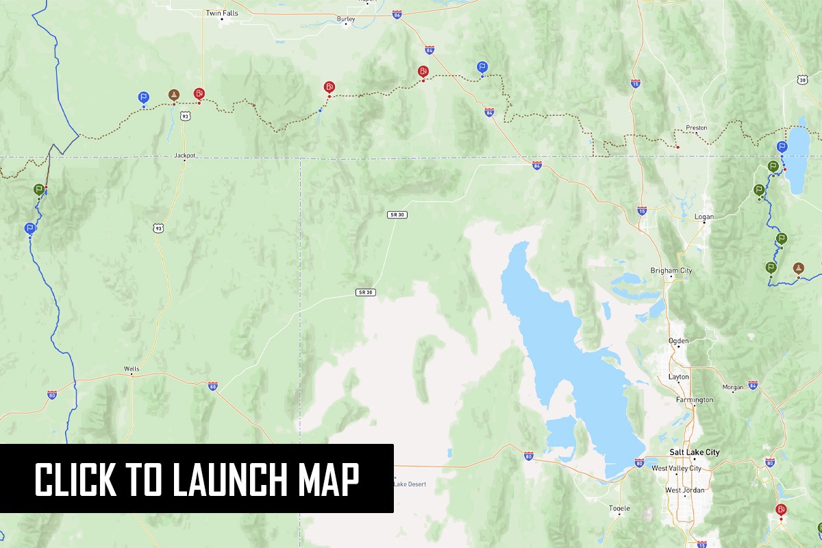
This route starts at the northern end of the Utah BDR in Garden City, UT and traverses across southern Idaho to connect to Jarbidge, NV where the IDBDR and NVBDR join together. Divided into three sections, this 336-mile connector takes you through varied terrain with a mix of farmland and forested ranges in Caribou-Targhee National Forest and Sawtooth National Forest. It will take the average rider about two days to complete this connection. Fuel is readily available along the route, as well as dispersed camping, established campgrounds and reservoirs. You’ll find hotels along the Interstate 84 corridor in Twin Falls and Burley.

UTBDR (N)
to WYBDR (S)

304 MILES

Connects the north end of UTBDR to the south end of WYBDR

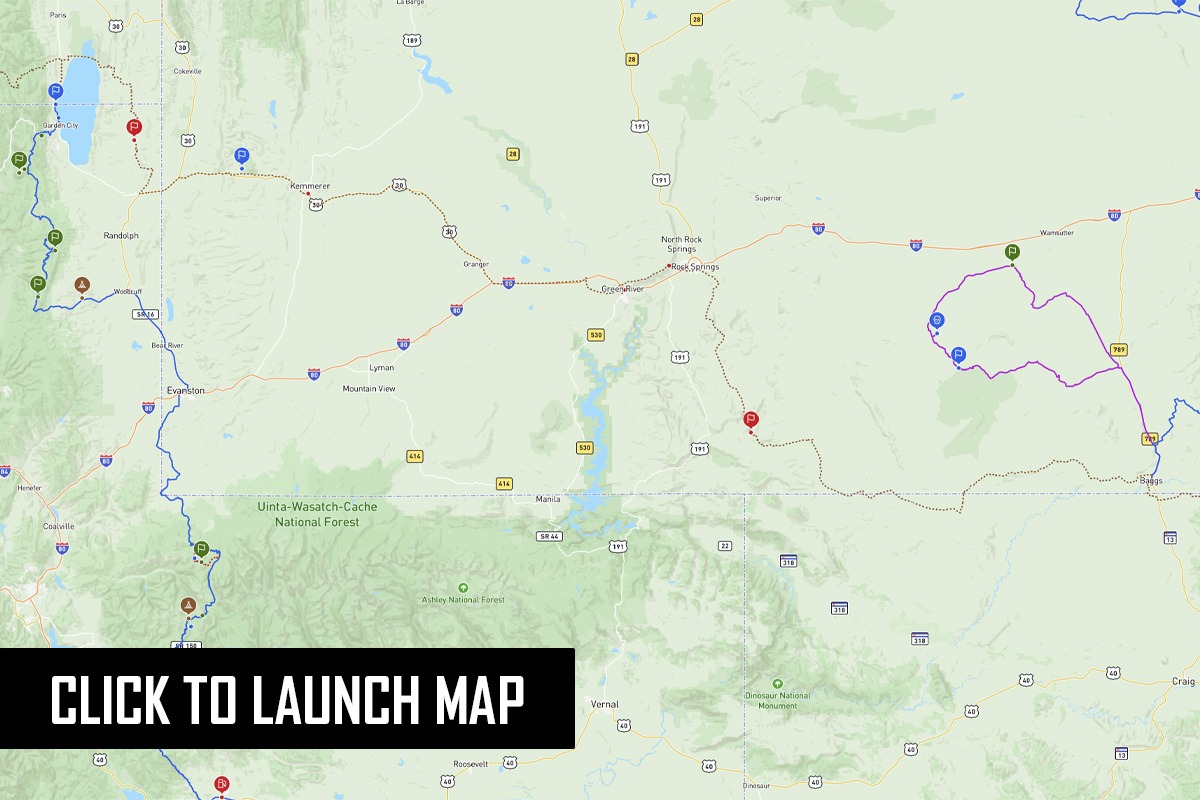
The UT-WY Connector takes you from the shores of Bear Lake, Utah, across the western flanks of the Wyoming Red Desert and past Pilot Butte, an immigrant landmark, before dropping down to Rock Springs, WY.  Along the way you’ll pass Fossil Butte National Monument, well worth a stop, through the Seedskadee National Wildlife Refuge, and the White Mountain Wild Horse Management Area. From Rock Springs you’ll begin a slow steady climb into the high desert of southern Wyoming where wild horses, pronghorns, and deer are plentiful before heading east to Baggs on portions of the Cherokee Trail.

WYBDR (N)
to MTBDR (S)

283 MILES

Connects the north end of WYBDR to the south end of MTBDR

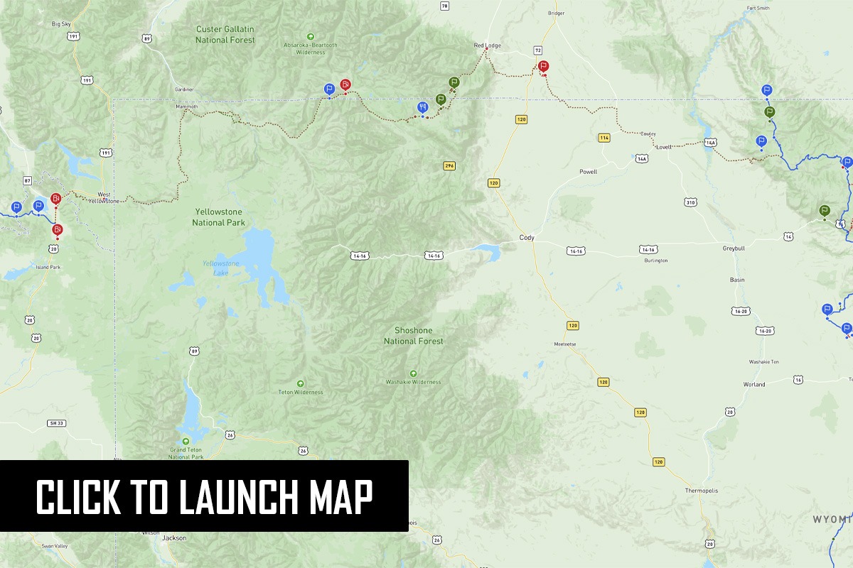
This connector gets riders from the north end of the Wyoming BDR to the south end of the Montana BDR. It’s 283 miles long, mostly paved, and passes through Yellowstone National Park. Despite the pavement, this route is incredibly scenic and includes the famous Beartooth Highway and the historic Meeteetse Trail (an old stagecoach route and the dirt centerpiece of the ride). You’ll have to pay a fee to ride through Yellowstone so consider stopping to see the park’s sights along the way. Services are available in Lovell, Red Lodge, Cooke City, Gardiner and West Yellowstone so take your time to enjoy this fun connector between two epic Northern Rockies BDRs.

Backcountry Discovery Routes is a 501c(3) non-profit corporation. © 2026 Backcountry Discovery Routes, Inc. All rights reserved. Terms of Use.