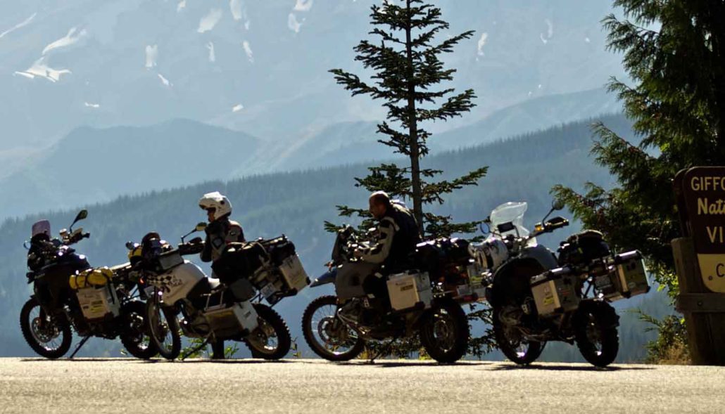
White Pass – Food, Gas, Lodging, Camping
In the middle of a long paved section on Highway 12 at the crest of White Pass, you’ll find more services. The place for food, gas, lodging and camping, the site is also a good spot for skiing in the winter or taking in some outdoor adventures in the summer. The campground and resort area offers up added recreation including hiking, rafting or fishing on Leech Lake, plus the location’s simply a great choice for fueling up motorcycles and appetites before reaching the next destination along the WABDR. Experience this town for its scenery, its recreation and its convenience along the Washington route.
Silver Beach Resort
Found right on the shores of Rimrock Lake, Silver Beach Resort serves up the convenience of tent camp spots, cabins, motel rooms and trailer rentals. The site is a good place for swimming and outdoor recreation, plus there’s an on-site restaurant for extra convenience. Stay for the night or enjoy time exploring the lake and the mountain views with easy access right along the WABDR. The resort’s also a good spot to see Bald Eagles flying over the lake. Grab some snacks to go or fill up on a famous Rimrock Burger and milkshake before getting back on the road.
Rimrock Lake Resort
Open all year round, Rimrock Lake Resort is the place to stop for camping, picking up some food, or taking in some outdoor fun along the route. Just off Highway 12, the resort boasts more than two dozen campsites and furnished cabins for rent on the north shore. The site also offers nearby hiking trails, kayaks and fishing boats for rent, plus it’s simply a great spot to stop for a burger or some breakfast before getting back on the WABDR. Check out the nearby river rafting, grab some food and supplies for the road or just relax for a while with a stop at Rimrock Lake.
Cash Prairie Camp
For a fun side trip just off the WABDR, take a short two mile ride out to the group camp spot at the end of Cash Prairie Road (NF 199). The Cash Prairie Camp isn’t large and doesn’t have facilities, but it does have room for camping and picnics. Busiest during the summer and fall seasons, there’s no fee to enter but riders do need to pick up a free wilderness permit at one of the trailheads. A short walk out on the ridge gives you peekaboo views and the chance to spot some wildlife. Be sure to keep an eye out for some scenic viewpoints on the south side of the road as you ride out to the camp.
Bethel Ridge Hidden Viewpoint
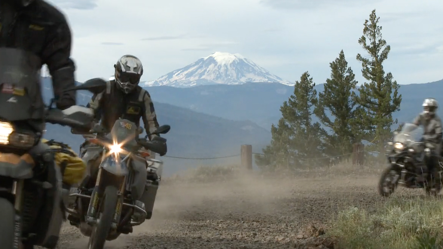
Just off the main route, make time to try to find the Bethel Ridge Hidden Viewpoint. It takes a short side trip to reach this viewpoint, as it’s virtually unmarked and it’s fairly remote. The double track site does offer the ability to see up close Mt. Rainier and Mt. Adams (and other distant volcanoes on a clear day) and looks out over Rimrock Lake. If the views aren’t enough in the daylight, the site also provides a more secluded and private spot for camping than some of the more well-known and established campgrounds along the WABDR.
Bethel Ridge Rocky Point
An easy spot for riders to reach that’s right on the route, Bethel Ridge Rocky Point is a great place to check out views from high above the Bethel Ridge cliffs. Featured in the WABDR documentary, a quick ride out to this barren spot, gives visitors the chance to see even more viewpoints along the cliffs. Take it slow and take some extra time to enjoy the expansive scenery from every angle along the drive. Check out the dramatic scenery and hilly terrain of this remote mountain site before heading to the next destination on the WABDR.
Nile – Food & Gas
For a gas station and mini-mart stocked with provisions in one stop, make time to take a pit stop in Nile. The Wood Shed Restaurant in Nile serves up easy favorites like burgers and barbeque, plus it’s just as simple to head next door for some quick snacks and fuel before getting back on the road (temporarily closed but hopefully will re-open soon). For those needing to stay for the night, there’s the option of camping or renting out one of the rustic cabins in Nile (one sleeps 2 on twin beds and one sleeps 4 on bunk beds). Whether just a short stop or the chance to rest for a while, the town’s a convenient choice for riders along the route.
Cleman Mountain Summit
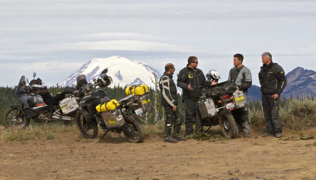
This part of the route passes over the top of Cleman Mountain, rewarding riders along the way with some fantastic surrounding views of the mountainous terrain. Once visitors reach the top, the mountain viewpoint serves up 360-degrees views of the range, looking out over such majestic scenery as Mt. Rainier, Mt. Adams and Goat Rocks. The rocky area is a good place to spot wildlife but be prepared for the possibility of lingering snow during cooler seasons of the year and hot, sunny weather in the summer months. Watch out for loose rocks and some steep slopes along the ride up and down this rugged mountain.
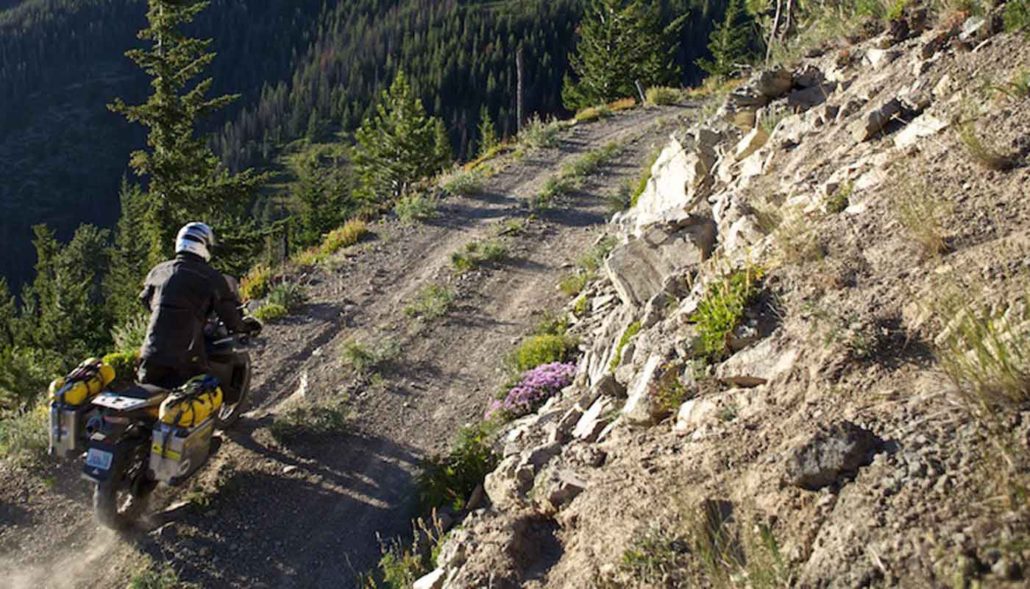
Baby Head Hill
One of the more difficult sections of the route, Baby Head Hill proves to be one of the more challenging locations for some riders to reach traveling on the WABDR. The remote location truly lives up to its namesake with round rocks virtually the size of baby heads. The small loose rocks line the route to this hilly spot, often making for a more interesting ride along the way. Plan to make a short stop just above the hill to take in the distant views, tall trees and the incredible scenery of the surrounding area before continuing on the road again.
Umtanum Ridge Durr Road Crossing
Even more fantastic views await riders approaching the Umtanum Ridge Durr Road crossing. The top of historic Old Durr Road is a great place to take in some sweeping views high above the canyon as riders make the descent into the approaching Ellensburg area. This intersection has another road meandering to the east known as the North Yakima Skyline Trail. If time and fuel allows riders can explore the ridge to look for more views that could include the dramatic Yakima River canyon. It’s often cool and windy on Umtanum Ridge so come prepared for the elements but spending a few extra minutes at the road crossing means the chance to take in some incredible views of rolling terrain, plus maybe Mt. Adams and Mt Rainier in the distance. Be sure to get a good look at what’s to come, as the route leads north to Ellensburg and beyond to Table Mountain.
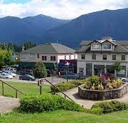
Ellensburg – Gas, Food, Lodging
From food and fuel to lodging, use this next stop to fill up on everything needed to continue the journey. As riders approach Ellensburg a paved section of roadway leads into the full-service town. The WABDR actually crosses Interstate 90 at Exit 106 on the outskirts of Ellensburg. At this truck stop riders can easily get gas, shop for necessary items, or just grab a cup of coffee and a meal at one of the local restaurants. For a longer stop take in one of the museums, tour a winery, meet up with locals at one of the breweries, or even book a stay for the night.


 Stevenson
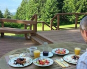 Rivermist Mountain Top Estate B&B
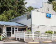 Rodeway Inn
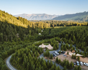 Columbia Gorge Getaways
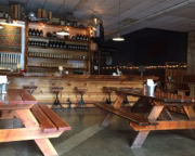 Backwoods Brewing Company
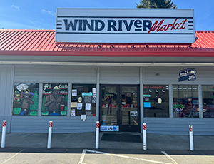
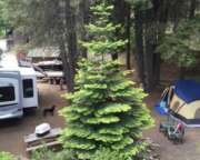 Rimrock Lake
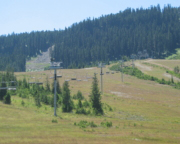 White Pass Village Inn
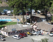 Squaw Rock Resort & Mountain Momma’s Restaurant
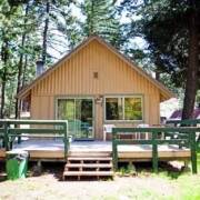 Squaw Rock Resort & Mountain Momma’s Restaurant
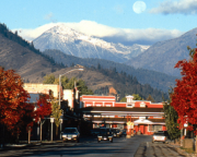 Cashmere
 White Aspen Camping
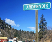 Ardenvoir
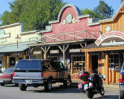 Winthrop

