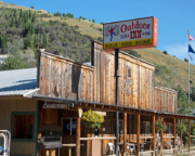
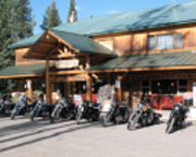
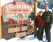
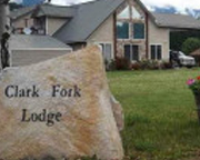
Yellow Pine – Food, Gas, Lodging
Be sure to fill up with fuel and grab a bite to eat as the Idaho BDR makes its way through Yellow Pine. This tiny community isn’t large or population, but it offers a good local restaurant, deep in the central Idaho mountains. Bordered by Boise National Forest to the south and Payette National Forest to the north, Yellow Pine also offers a rustic lodge to get some rest during the cool mountain nights. One of the busiest times of the year is late July, with free camping and fun at the annual Yellow Pine Music & Harmonica Festival.
Elk Summit Pass
Keep an eye out for some big views ahead as the Idaho BDR leads high across Elk Summit Pass, between Yellow Pine and Warren. Come prepared fully stocked up and ready for all kinds of weather on this part of the route, for the surrounding area is largely primitive. Take some time to enjoy the views and the crisp mountain air. While there may be other riders on the pass, it’s mostly a vast wilderness as far as the eye can see.
Pilot Peak Fire Lookout
Top off the next section of the ride through Idaho with massive views from a short side trip to Pilot Peak Fire Lookout. It’s a five-mile climb to the lookout tower on Pilot Peak and another five-mile ride back down, but definitely worth the extra time. Take a few moments at the top to snap some pictures and soak in the mountainous scenery of Payette National Forest. Pilot Peak is a popular, yet peaceful spot for off-roading in the summer, hiking, or just taking in some great views, all just a few miles off the main route of the Idaho BDR. The fire lookout is no longer in service but the structure is still there.
Old Cemetery
Follow the Idaho BDR as it winds along Elk Creek on the road to Warren. This next stop may not be one of the most scenic of the journey, but it is full of local history. Keep your eyes open for a small old cemetery just to the south of Elk Summit Road. While the historic cemetery isn’t largely marked off, there are some signs that help tell the stories of some of the people who are buried here. This peaceful stop is a good place to gain some history and take a quick break before continuing the ride on the BDR.
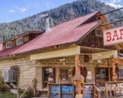
Warren Mining Town
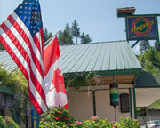
It may be tiny and only home to a dozen or so full-time residents, but don’t call Warren a ghost town. The remote gold mining town still offers up picturesque old buildings and colorful residents too. As one of Idaho’s oldest mining camps, Warren is full of history and makes an interesting stop, even if it just means walking around town for a bit. If there is time and it’s open, make plans to head to Baum Shelter. It’s the town’s only restaurant, and a good place for riders to grab a cold drink or a bite to eat before heading back on the route.
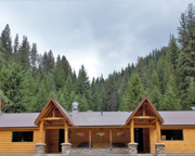
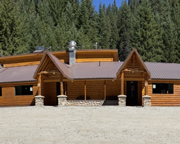
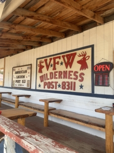
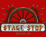
Secesh Stage Stop
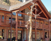
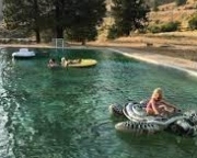
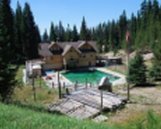
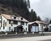
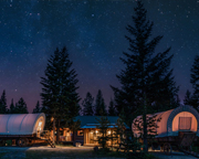
Burgdorf Hot Springs – Lodging & Camping
Don’t ride by Burgdorf without stopping to enjoy its hot springs. If they have space, we highly recommend staying overnight at Burgdorf Hot Springs, a unique year-round resort that’s popular with adventure motorcyclists in the summer and snowmobilers in the winter. Book a charming cabin, walk the historic grounds, then grab a bite to eat in the resort’s restaurant. Of course, most folks enjoy Burgdorf for its natural hot springs. Relax away the time in the resort’s pool while taking in the surrounding scenery. As a bonus for history buffs, the small community of Burgdorf sits on the National Register of Historic Places. Before heading out, be sure to fuel up for the next adventure on the Idaho BDR.
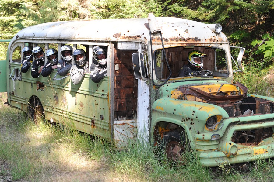
The Old Bus
Keep an eye out for the Old Bus as the route heads north from Burgdorf. One man’s trash is another man’s treasure, and that is true enough with this aging roadside attraction. It’s said the old school bus has been rusting away in the same spot above French Grade for years, and many riders have made their way past this bus. While there’s not much else to see in this stop, it’s worth it to pull off for a quick a photo. If nothing else, it’s another unique memento to bring back home of time spent traveling Idaho’s BDR.
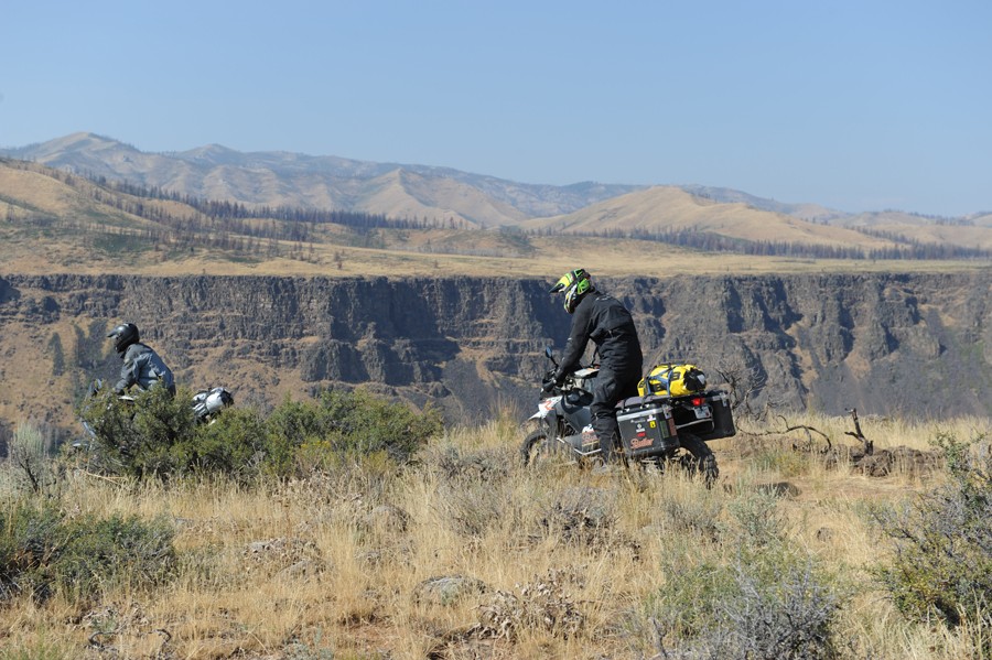
French Creek Grade
Continuing on the route past the Old Bus, prepare for five tight switchbacks easing the grade of French Creek Road as it makes its descent through a remote, yet scenic stretch of the Idaho BDR. Keep your eyes on the road as this is a steep hillside and the view is quite distracting. You’ll probably want to stop at least once to take photos of the mountains and the Salmon River valley below. New adventures await as riders continue northbound on the IDBDR. Along the way gain a small taste of what’s to come next on the rest of this backcountry journey through central Idaho, en route to the Canadian border.
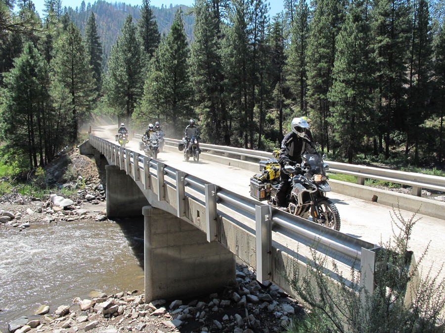
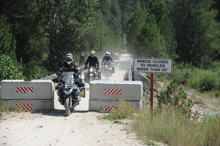
Manning Bridge
Enjoy the scenery as the route continues over the Salmon River. The new Manning Bridge went up in recent years as a safer solution to the old 1934 suspension bridge that spanned the river for generations. Keep an eye out for river rafters below and views of the surrounding terrain as the bridge links up the route to the other side. Although it’s made to look rustic, the bridge is new and an architectural marvel. The single-tower, asymmetrical suspension bridge is one of the only bridges of its kind in the world, and likely the first in North America.
Spring Bar Campground
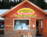
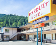
Riggins – Food, Gas, Lodging
It may be one of the longest side trips on the BDR, but a detour to Riggins is a good chance to load up on supplies in this part of Idaho. Running right alongside the Salmon River, the deep canyon town is the final stop in the Mountain time zone. A bit larger than some other stops along the route, Riggins is a good place to sit down for a meal, fuel up, or stay for the night in one of the local inns, motels or campgrounds. It’s also a popular home base for fishing, river rafting (it’s known as “The whitewater capital of Idaho”), and other big outdoor adventures.
Florence Ghost Town
Tucked away in the remote landscape northwest of Riggins, the route leads next to Florence Ghost Town, a town with a significant and colorful history. Virtually hidden in the mountains north of the Salmon River, riders should explore around in search of several old log buildings on various roads branching off the main route. A thriving gold mining camp in 1861 became the city of Florence by 1862 with 9000 residents. Although the town became the first county seat of Idaho County, it didn’t last long and eventually faded away and went to ruin. Another town, New Florence, sprang up nearby when the old Florence area became a quartz mine and placer gold mining wiped the old site off the map. While there’s not much left of the town today, it’s still a good stop to soak in some local history. Once a haven for gold seekers and outlaws, Florence Ghost Town now marks an interesting turnoff for riders headed up the Idaho BDR.
Florence Cemetery
Just up ahead on the Idaho BDR, take a short break to park and step back in time with a trip through the Wild West at the Florence Cemetery. It’s an interesting place to walk around, read the signs and discover old tombstones. A stroll through this old cemetery retells history, as it marks the final resting spots of some of the ghost town’s most notorious outlaws, miners and fortune seekers of years past. After all, this illustrious Old West town was once nearly as well-known for its wild gunfights and brawls as it was for its riches.


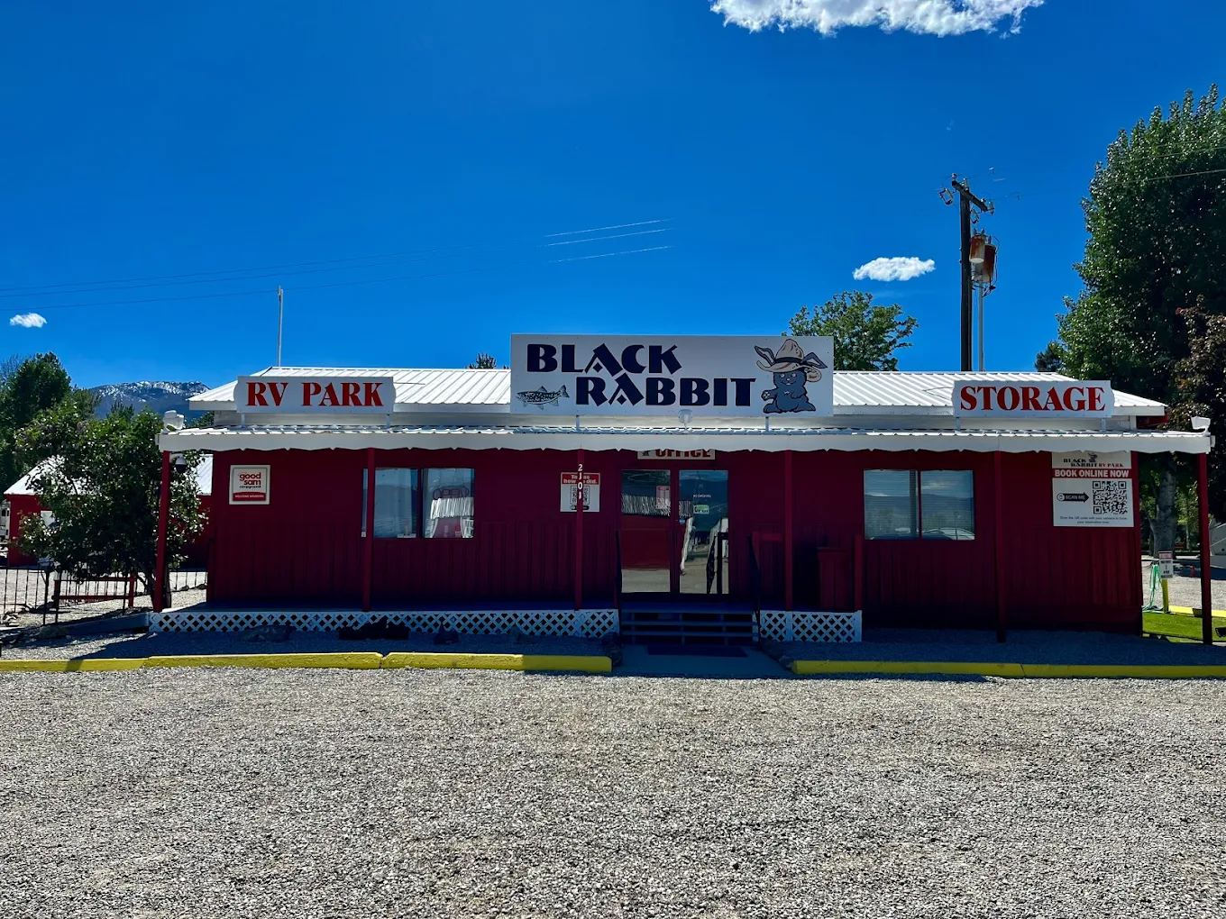 Idaho BDR motorcycle riders might choose a tent site at Black Rabbit RV Park for its prime location in Montana’s scenic Bitterroot Valley, offering direct access to the Bitterroot River for fishing and proximity to rugged trails ideal for adventure riding. The park’s rustic tent sites, affordable rates, and amenities like Wi-Fi, laundry, and heated showers provide a comfortable base for exploring nearby attractions such as Bitterroot National Forest and filming locations from the TV series Yellowstone, all while catering to the needs of riders seeking both adventure and convenience.


