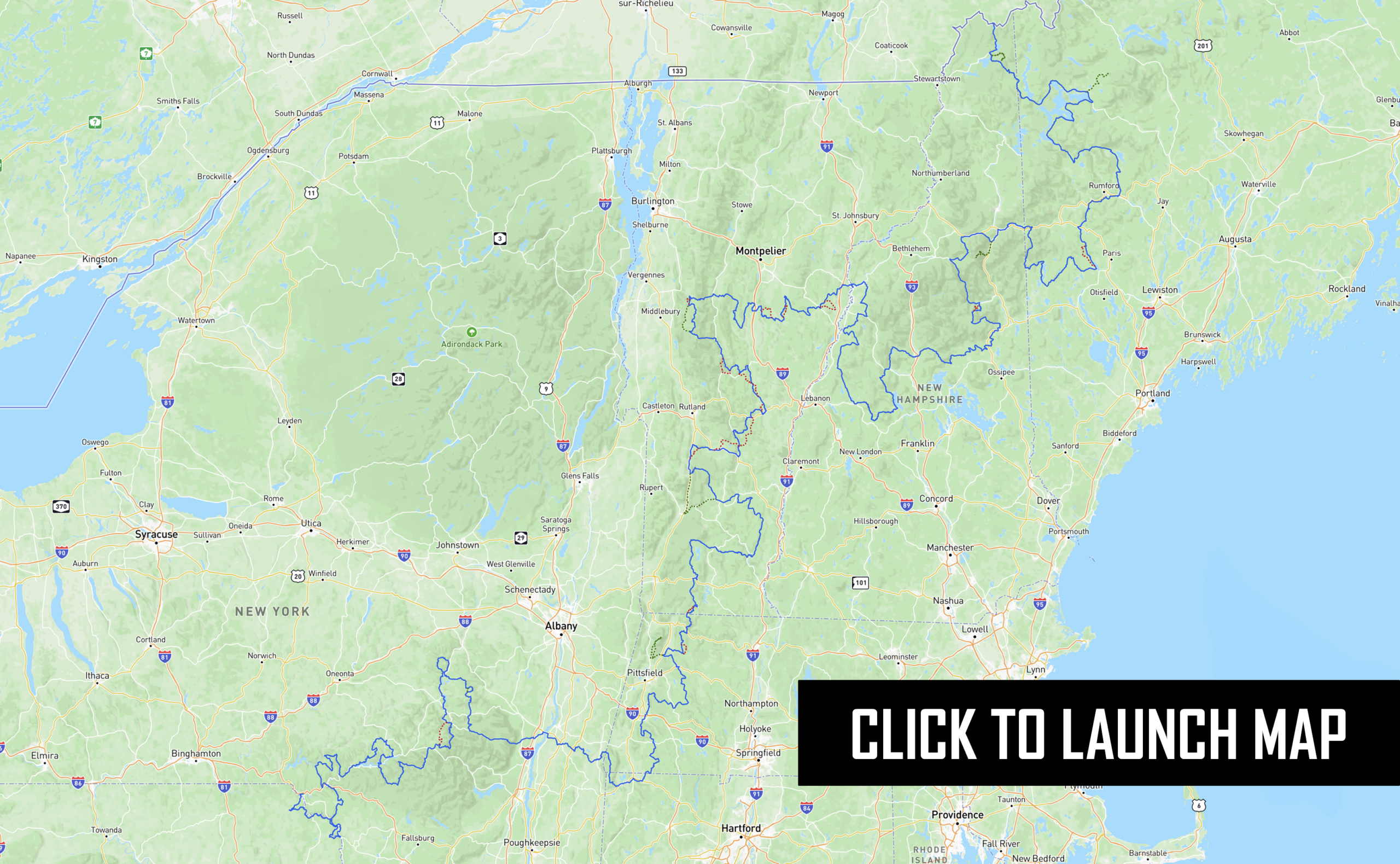
Map not loading? Visit our Main Interactive Map. For best performance and experience, use the latest web browser version of Microsoft Edge or Firefox. We are currently troubleshooting technical issues with Chrome.
The long awaited North East BDR (NEBDR) is our tenth route developed for dual-sport and adventure motorcycle travel.
Crossing more state lines and covering more mileage than any other BDR makes the NEBDR one of the most diverse routes in the BDR series. Every Northeast state delivers a unique adventure motorcycling experience unto itself and while sections can be done over an extended weekend, riders who commit to the entire 1,300-mile route will truly feel as though they had an adventure of a lifetime.
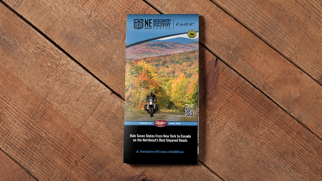
The Butler Motorcycle Map is now available for sale at Touratech-USA and Butler Motorcycle Maps. The film DVD and video-on-demand are also available for purchase.
NOTICE: The GPS tracks for the NEBDR have been updated and are now available for download labeled version “NEBDR-October2023”
Please read important Route Update information HERE before departing.
NEBDR – SECTION DESCRIPTIONS
Section 1: Hancock, NY to Andes, NY - 132 Miles
Section 1: Hancock, NY to Andes, NY – 132 Miles
Make your way to where the east and west branches of the Delaware River converge in the historic village of Hancock, New York— a motorcycle-friendly town, sportsman’s paradise and a perfect place to start the NEBDR adventure. Cross over the West Branch of the Delaware just a mile from the center of Hancock and get ready to warm up your dirt skills on the shady O&W Road Through rural Wayne County Pennsylvania. Adventure Starts to ramp up as you hit River Road, a rugged seasonal track that hugs a steep drop-off high above the DelawareRiver. Cross back over to New York into Callicoon for miles of enjoyable dirt and gravel roads that traverse through forests and farmland and crisscross the East Branch of the Delaware several times. You’ll pass through your first of many covered bridges on the NEBDR in Downsville and then make your way up and around the majestic Pepacton Reservoir on a thrilling stretch of twisty tarmac. Your arrival into Andes includes seasonal dirt roads and outstanding mountain views. You are now on the western edge of the Catskills and Andes is the quintessential Catskill town.
Take a quick ride two miles east from the center of town on Route 28 to the Palmer Hill lookout and experiences panoramic view of the mountains that make up the 600,000-acre Catskill Forest Preserve —
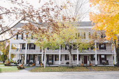
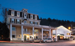
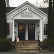
classified as Forever Wild Land in the NewYork State Constitution. Spend the night in Andes and enjoy some local hard cider and culinary treats atWayside Cider or rub shoulders with the locals at the bar/Restaurants in the historic Andes Hotel Supplies Can Be had at the General Store on Main Street or the Tremperskill Country Store about 5 miles outside of the village down CR1.
Section 2: Andes, NY to Copake Falls, NY - 192 Miles
Section 2: Andes, NY to Copake Falls, NY – 192 Miles
As you head out and get to higher elevation in Andes, at the top of Perch Lake Road You’ll get a glimpse of the expansive Pepacton Reservoir. The Pepacton is one of many reservoirs of the NYCWatershed that supplies NY City with drinking water over 120 miles to the south via a massive aqueduct system. The Catskill Region is known for endless flowing creeks and rivers (or Kills) and you’ll be riding alongside an idealexample on Mary Smith Road through the Delaware Wild Forest. Swimming holes formed by waterfalls and rock formations will tempt you to shed your riding gear and jump in during warmer weather. Shin Creek, a narrow seasonal dirt road takes you through the woods to the Beaverkill Trout Hatchery. Stop in and learn how this 5th generation family-owned business operates.
Grab some of their delicious smoked trout for a trail-side afternoon snack, they’ll keep just fine in your pannier. Cross Mountain Road does exactly that and when on the other side you’re a few twisty
miles of tarmac away from the eclectic town of Fleischmanns. In the mood for some traditional Moroccan fare? Then stop at Bebert’s Café, it will not disappoint.
Make sure to have a cup of their high-octane espresso because rocky challenge #1 on the NEBDR is around the corner on CountyRoad 3 up and over the Vly Mountain area. This rugged little track is just a mild prelude to what lies ahead on the NEBDR. For those looking for a more mellow ride there is a go-around available in the GPS tracks. Cool off on some glorious rolling tarmac as you make your way down to Prattsville, the epicenter of HurricaneIrene in 2011 that severely flooded and all but demolished a number of towns in the Catskills. Show your support and consider crossing the bridge and going into town for a meal, supplies, or to stay the night.
Leaving Prattsville, the route follows a flowing dirt road north up along the Schoharie Reservoir
through Gilboa and then a short jaunt up Route 30 lands you in the Burnt-Rossman State Forest
an adventure-riding playground replete with dirt two-tracks full of mud, ruts and deep
puddles in the wet season.
From there you’ll head south through a series of state forest roads and the ski towns of Windham and Hunter. Route 23A is an incredibly scenic tarmac byway that takes you through the Catskills passing by North-South Lake, Kaaterskill Falls and descends down to the historic town of Catskill on the banks of the Hudson River. Look up as you cross over the mighty Hudson on the Rip Van Winkle Bridge and the Olana State Historic Site will be right in your sights.
Take The time to ride up to the top and check out this historic mansion and take in the amazing westward view that encompasses the mountains that span the Catskill Forest Preserve that you just traversed. Enjoy another 35 miles of scenic mixed surface roads through eastern NY and arrive in Copake Falls on the edge of Taconic State Park and the Massachusetts border.
Gas, food and lodging can also be found a few miles north in Hillsdale.
Section 3: Copake Falls, NY to Readsboro, VT - 146 Miles
Section 3: Copake Falls, NY to Readsboro, VT – 146 Miles
Welcome to the NEBDR’s gateway to New England where riders will quickly sense a change of topography as they ascend into the foothills of the Berkshires, with an abundance of bucolic scenery interspersed with fern lined two-tracks under thickly forested canopies. The area is dotted with cozy town centers, white steepled churches and local shops and eateries. The beauty in this area is multi-seasonal and a feast for the senses — from the light green forests with fragrant wild roses lining the route in the Spring to the deep red and orange hues of the sugar maples and the scent of wood fires in Autumn, you’ll be captivated by this magical piece of southern New England.
Enter the very southwest corner of Massachusetts and enjoy a few primo dirt tracks leading south to a quick dip into Connecticut. Theroute then heads north again back into Massachusetts and the Berkshire Mountains that offer an abundance of ADV-friendly state forest lands to enjoy with varied/challenging terrain. These off-pavement highlights will definitely get you up on the pegs and include Beartown State Forest and the menacing October Mountain which will start to raise the bar on technical riding on the NEBDR.
The pinnacle of the Berkshires is the majestic Mt Greylock. The route takes you up a seasonal dirt track to the top, and standing at 3,491 feet tall, Greylock ranks as the highest point in the state of MA with 90+ mile views over the Berkshires to surrounding states of CT, VT & NH. Bascom Lodge — built by the Civilian Conservation Corps (CCC) as a waypoint along the Appalachian Trail(AT), is a welcome respite hosting AT hikers and riders alike with meals and lodging from May to October. If you choose to stay the night at this period-perfect, craftsman-style lodge, don’t forget to catch the sunrise from the summit — so beautiful that poet Henry David Thoreau wrote about it.
The thrilling descent from Mt Greylock on pristine tarmac affords riders outstanding views of the region. Savoy State Forest and the notorious rock-littered Bannis Road is not far ahead followed by your final state forest in MA — Monroe State Forest. If you’re up for some off-bike exercise take the 1/4-mile hike to the Raycroft Lookout just off Monroe Road. The panoramic view is well worth the walk. Section 3 ends with some serious challenges as soon as you cross the border into Vermont where Class 4 roads await. Be warned that roads classified as such are very rugged, not maintained, and can become hazardous without notice. Welcome to Vermont!
Section 4: Readsboro, VT to Barnard, VT - 168 Miles
Section 4: Readsboro, VT to Barnard, VT – 168 Miles
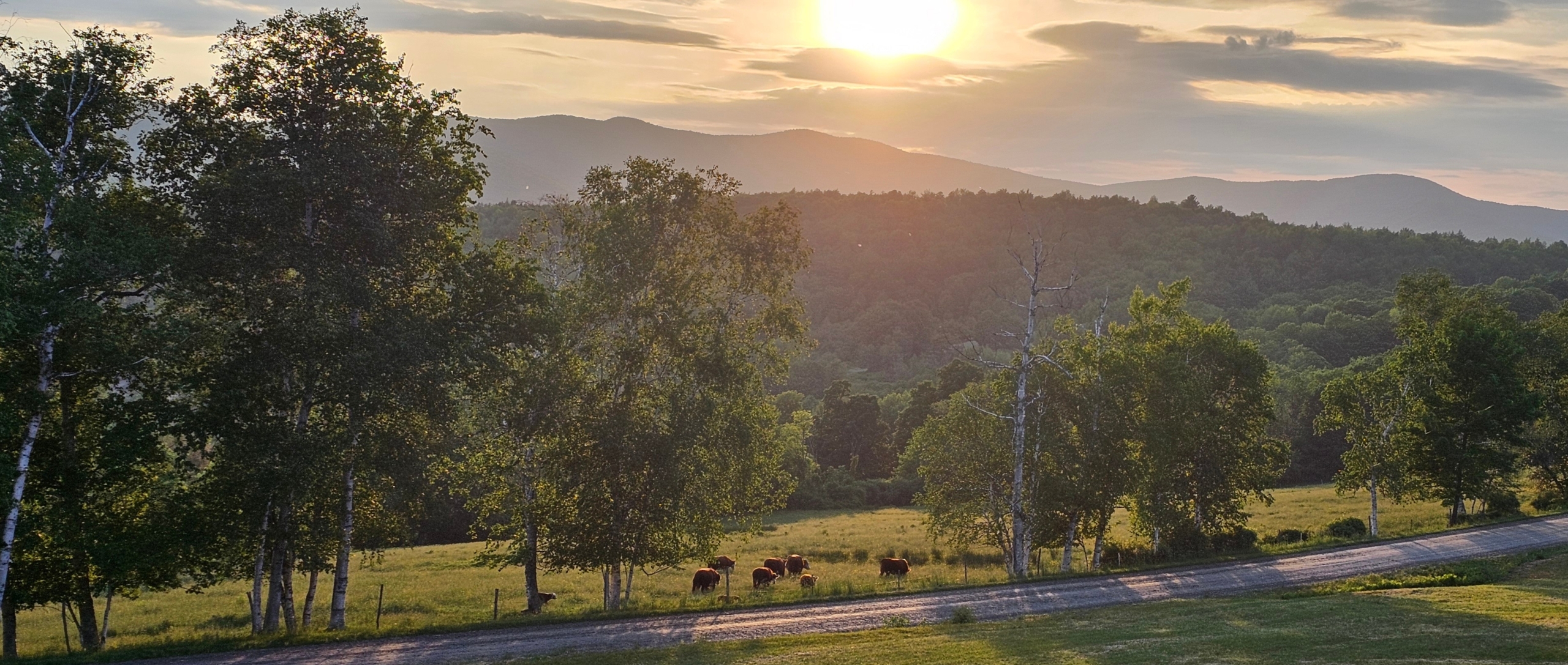
You’re now in the Green Mountain State. Are you ready to experience beautiful pastoral settings, historic mountain roads and architecture dating back to the Revolutionary War? We hope so! Vermonters have a generally laid-back attitude, a strong passion for their home state and are eager to share that passion with friendly and respectful visitors. The roads you will be using to pass through Vermont are beautiful, and in most cases, originally designed for human and animal transport.
They are small and rudimentary and houses are often placed within feet of the road. Many of these roads double as cattle crossings and hiking trails, so safe riding is imperative.
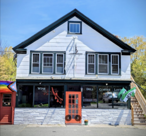
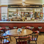
After your introduction to Class 4 roads at the end of Section 3, stop into the Readsboro General Store to fuel up your bodymand your bike. From there the route settles into a patchwork of forest roads meandering through the lower Green Mountain National Forest. The town of Grafton is a wonderful place to stop, spend the night at the inn, or have lunch at the general store. Tip: don’t miss out on Vermont’s general stores, they are all unique and interesting.
There are technical riding bits dispersed throughout this section but after the town of Danby, there are quite a few challenging Class 4 roads. If you find you’re not quite up for it, the main GPS track avoids the more difficult Class 4 roads. Your last gnarly stretch of this section leads you to the town of Barnard where you can gas up and grab supplies at the General Store. There’s camping at Silver Lake State Park And several B&Bs in town or alternatively the town of Woodstock is only 10 miles away.
Section 5: Barnard, VT to Woodsville, NH - 153 Miles
Section 5: Barnard, VT to Woodsville, NH – 153 Miles
The rougher sections of Vermont settle down for a bit after the town of Rochester where a beautiful bit of pavement will lead you to Robert Frost’s summer cabin in Ripton. There, Frost founded the Broadleaf Writers College and worked on several of his famous poems.
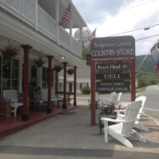
The town of Lincoln offers several camping opportunities — stop in at the Lincoln store and they’ll point you in the right direction. There are local meat and produce purveyors in the area so this may be a great chance to sample some local epicurean delights. From Lincoln there are two mountain pass roads; Lincoln and Roxbury gaps that are connected through the small village of Warren — where there’s yet another great general store.
In Brookfield you’ll cross the Floating Bridge which was originally built in 1820. Some 200 years later it has seen eight iterations, but each with only minimal technological improvement.
After the bridge, there are some rough roads; be prepared to encounter mud, rocks and washouts. Take the opportunity to grab food and fuel in Chelsea because the challenges keep coming all the way until you hit pavement, just shy of the New Hampshire border. Cross the Connecticut River into Woodsville where provisions and lodging are plentiful.
Section 6: Woodsville, NH to Gorham, NH - 229 Miles
Section 6: Woodsville, NH to Gorham, NH – 229 Miles
Just a few miles up a rural dirt road from Woodsville and after crossing a long, covered bridge, you’ll arrive at the Brick Store in Bath. The Brick Store is the oldest operating general store in the United States, established in 1791. Known for excellent fudge, smoked products, and a fine deli, this is a great place for take-out breakfast and lunch. The owner, Scott, is an avid motorcyclist so be sure to tell him we sent you.
Section 6 winds through picturesque dirt roads from the western border towards the east, passing through woodlands and farm fields, as well as some horse properties. Crossing over Interstate 93, the route takes
Sandwich Notch Road from Thornton to Sandwich, built in 1801 for the farming community that inhabited the area. The road is now a single-lane dirt road that is great fun to ride, but remember that it is two-way traffic at all times. There’s a must stop at a self-service ice cream and cheese shop, the Sandwich Creamery, tucked down a dirt road well off the beaten track. Our favorite flavor was Dirt Road – go figure.
Soon after you’ll find the magnificent view of Mount Chocorua and Lake Chocorua.Turning north, the route takes the Kancamagus Highway for about ten miles. The highway is named after Chief Kancamagus, “The Fearless One,” of the Pennacook tribe. Scenery of the Swift River and mountains is spectacular before turning on to Bear Notch Road. Forest Service roads in the Bartlett Experimental Forest break up the ride on more dirt before getting through Franconia Notch on NH Route 302. After passing by the Mount WashingtonHotel, the route takes Jefferson Notch Road around the base of Mount Washington. You’ll soon come to appreciate any road referred to as a “notch’ in New Hampshire.
The White Mountains, and especially Mount Washington, are a spectacular sight and the
highlight of the NEBDR. The Mt. Washington Auto Road is not to be missed – it’s a 7-mile
tar and dirt road up to the summit at 6,288 feet. The weather observatory is manned 365
days a year and has recorded some of the highest winds on the planet – 231 mph. Clear
days offer amazing 360-degree views for a hundred miles.
There’s a restaurant and museum at the summit. Nearby Gorham is the perfect White Mountain town to stay the night. If you weren’t able to make it up Mt. Washington when you arrive into town, you can give it a fresh go the next morning.
Section 7: Gorham, NH to Rangeley, ME - 176 Miles
Section 7: Gorham, NH to Rangeley, ME – 176 Miles
From Gorham the route starts out pretty mellow as you wind through the most eastern part of the White Mountain National Forest.
Just past North Waterford we suggest stopping into Melby’s General Store for some lunch — if you’re a meat eater, we highly recommend their Bison Burger. More miles of dirt riding bring you into Greenwood where the Local Hub will serve as the perfect spot to take a break and grab some refreshments before the final push to Rangeley.From there the route heads north on a more flowing and wide-open dirt road through the Lakes Region. As you ride along Shore Road on the southside side of Rangeley Lake, you’ll pass Rangeley Lake State Park, an ideal setting to set up camp for the night. If you prefer a sit-down meal and lodging you canhead into the town of Rangeley or Oquossoc for the evening.
Section 8: Rangeley, ME to Canadian Border, NH - 58.4 Miles
Section 8: Rangeley, ME to Canadian Border, NH – 58.4 Miles
A great way to start your final day on the NEBDR is to ride the alternate Quill Hill loop. An easy out and back pavement track right out of the center of Rangeley takes you up to nearly 3,000 feet and rewards you with a breathtaking 360-degree view of Tim Pond, Rangeley Lakes, Saddleback Lake and beyond. Take in the view, have a snack or just warm up by the wood grill. There’s a donation box for those who would like to support this free public treasure. Back on the main track, the route heads west on Route 16, where not far past the town of Oquos soc, riders will take a short detour on Old Route 16. This scenic beaten-up stretch of primitive tar through the forest made for some epic fall foliage drone footage in the NEBDR Expedition documentary film.
After a spirited jaunt up twisty Route 16, riders can take an optional extension track to the Diamond Ridge Overlook, offering impressive vistas, before reaching the NEBDR terminus just a few miles north at the Chartierville Canada border crossing.