Apache Point Stellar Observatory
Another great viewpoint, overlooking White Sands.
Sunspot, NM
Sunspot is an unincorporated community, located in the Sacramento Mountains, in Otero County, New Mexico, United States. It is located within the Lincoln National Forest, 18 miles south of Cloudcroft. Its elevation is 9186 feet. The Sunspot Solar Observatory and Apache Point Observatory are located in Sunspot in the Sacramento Mountains. The site of Sunspot is leased by NSF, from the Forest Service, and is operated and maintained by the Association of Universities for Research in Astronomy. The telescope and site are both open to the public, and the visitors center offers guided tours of the site on Saturdays and Sundays. On other days there is a self-guided 1/2 mile trail around the telescope and White Sands overlook.
The Sunspot Solar Observatory
The Sunspot Solar Observatory (SSO) is an astronomical observatory designed for the study of the Sun. The observatory is operated by New Mexico State University (NMSU) and the National Solar Observatory (NSO). It is split between operations at the telescope facility at Sunspot, New Mexico and data and management at the Department of Astronomy at New Mexico State University. The Sunspot telescope facility is in the Sacramento Mountains, approximately 18 miles (29 km) south of Cloudcroft. Access to the facility telescopes and grounds are open for to the public for guided tours.
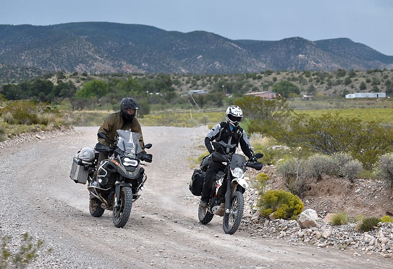
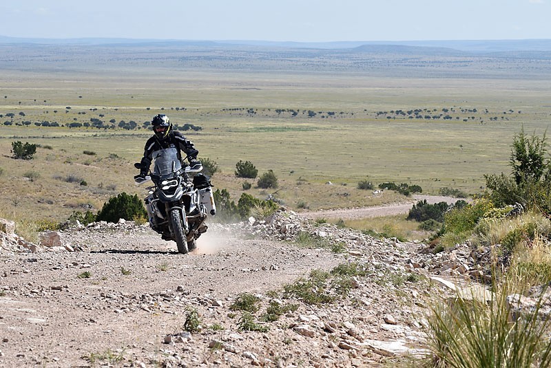
West Side Road
Dirt route along the western facing Sacramento Mountains, great views of Alamogordo and White Sands.
White Sands National Monument
White Sands National Monument is in the northern Chihuahuan Desert in the U.S. state of New Mexico. It’s known for its dramatic landscape of rare white gypsum sand dunes. Trails through the dunes include the raised Interdune Boardwalk and the Dune Life Nature Trail, dotted with interpretive exhibits on wildlife and other features. Dunes Drive is a looped road from the White Sands Visitor Center to the dune field.
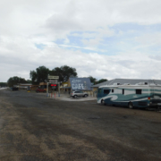
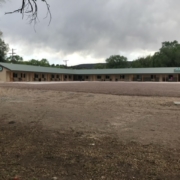
Ruidoso Downs
The city is the annual location of the All American Futurity, which claims to be the richest race in Quarter Horse racing.[10]
Ski Apache
One of the most scenic roads in New Mexico. Spectacular to ride.
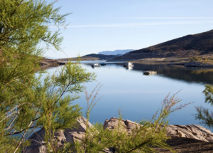
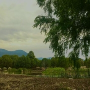
Bonito Lake
Bonito Lake is an alpine reservoir located high in the Sierra Blanca mountains northwest of Ruidoso, New Mexico. It is a popular fishing and camping destination, and although it is surrounded by the Lincoln National Forest, it is not a part of the national forest. It is currently owned by the city of Alamogordo, New Mexico as their primary water source. Because of the high altitude, the lake’s temperature is cold year-round and is home to an abundance of rainbow trout. The area around the lake has several campgrounds with hiking trails and streams.
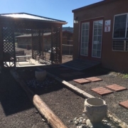
Fort Stanton, NM
Established in 1855, Fort Stanton may be one of the most intact 19th-century military forts in the country and is the best-preserved fort in New Mexico. Found just outside the historic town of Lincoln and surrounded by the Lincoln National Forest, the 240-acre site is best known for its roles in the Indian Wars and the Civil War.
Monjeau Lookout
Near Ruidoso. Side trip, worth it if a person has time.


