Join our Facebook Group for more route updates.

Visit the official NMBDR Facebook Group page for ride reports, photos, and discussions with other riders in your area HERE

Before You Ride: Important Reminders

Throughout the riding season, changing conditions are part of every BDR adventure.

Plan ahead, ride respectfully, and follow the BDR Tenets of Responsible Travel to help ensure a safe trip while respecting local communities and protecting access for everyone.

  • Download the latest GPS tracks before your trip. Printed maps and older tracks may not reflect recent route changes. The current GPS tracks are always considered the latest version of the route.
  • Check Route Updates for seasonal closures and beware of fast-changing road conditions before you go. There may be lingering snow and impassible conditions in the early season and deep sand in the summer.
  • Please respect all gates and closures. Never ride around them.
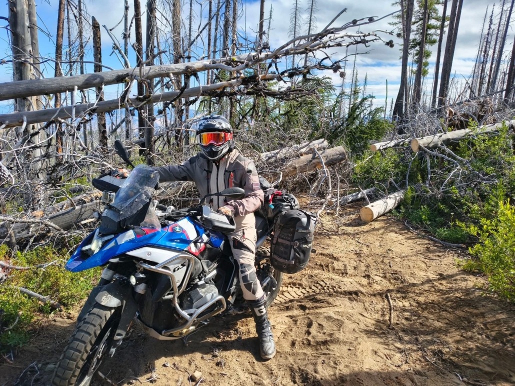
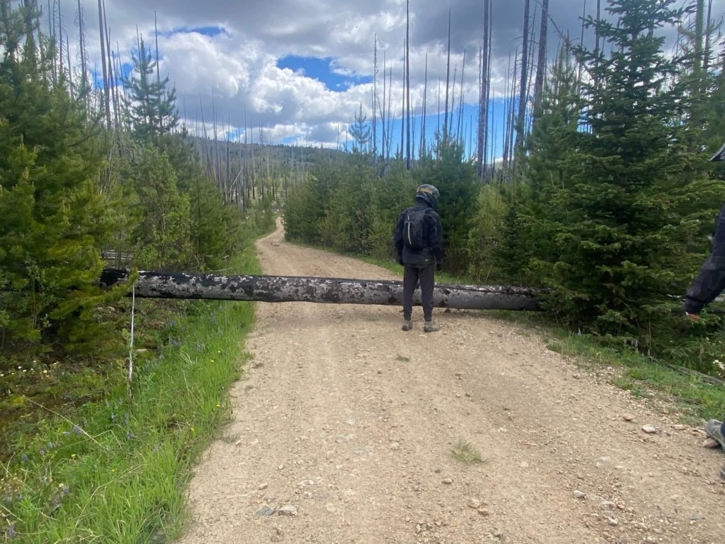
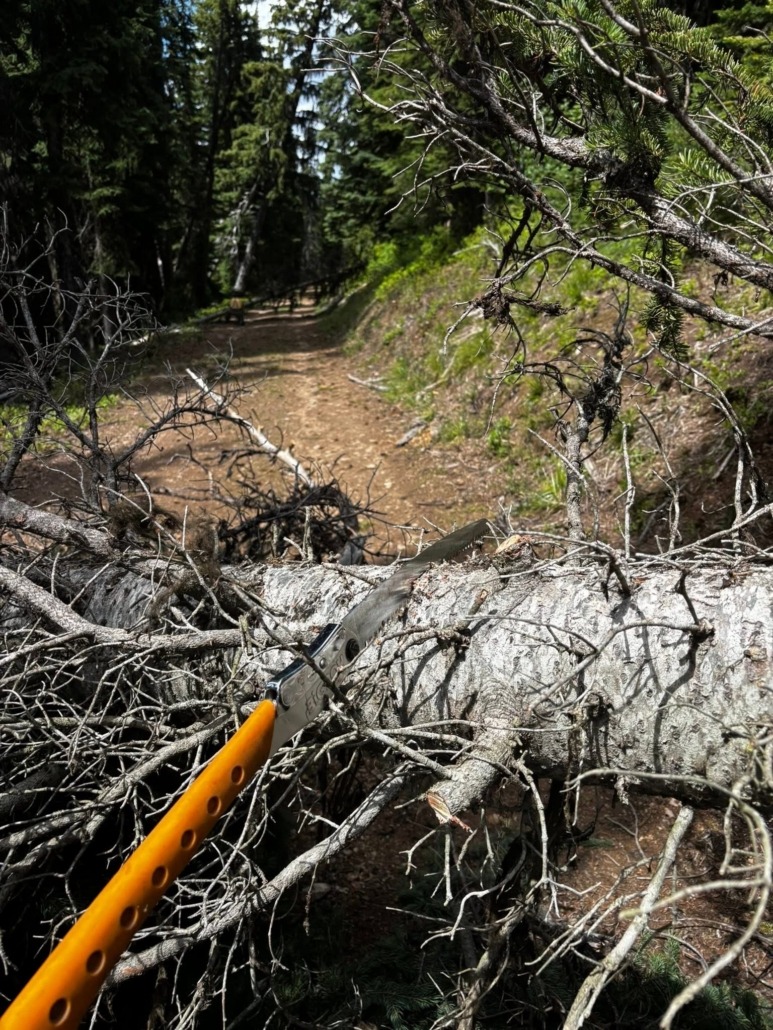
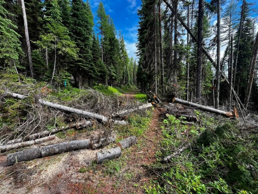
  • Expect downed trees early in the season. Carry a folding saw if you have one, know the official bypasses, and be prepared to turn around and create your own bypass if conditions are unsafe.
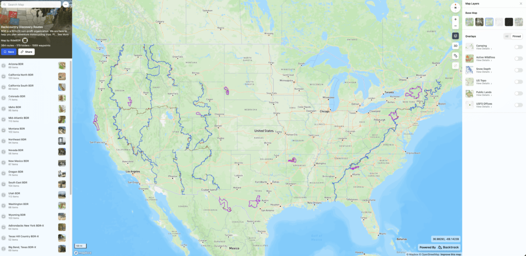
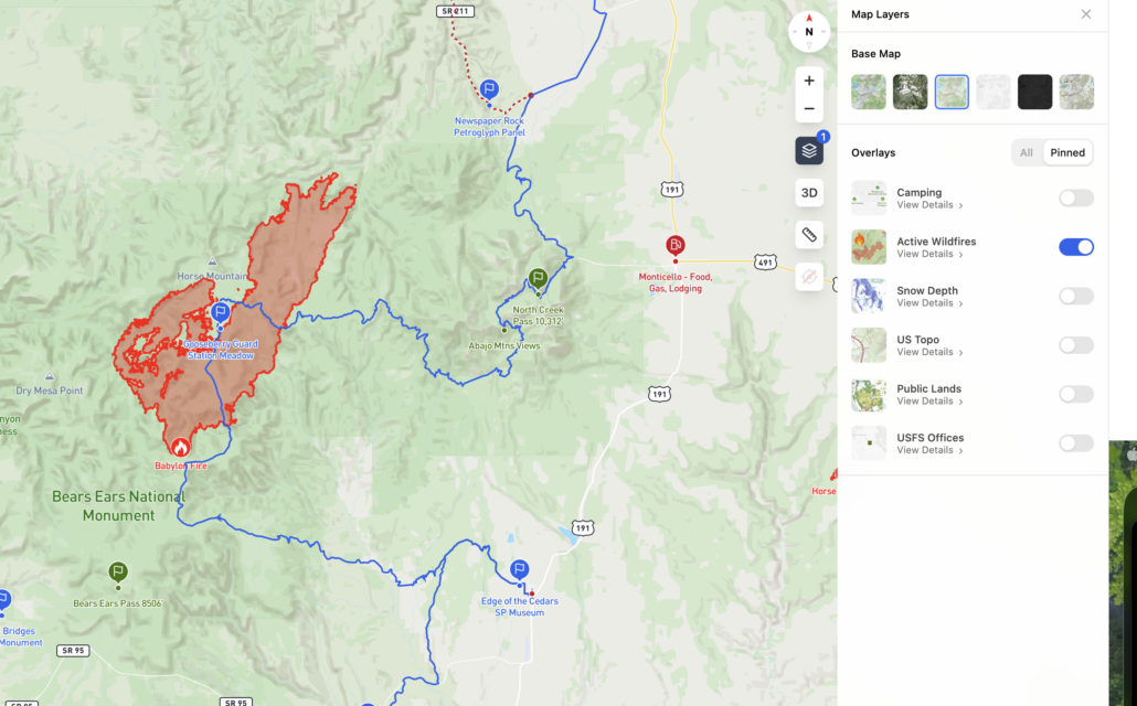
  • Monitor wildfire conditions. Use the BDR Interactive Map HERE to check the wildfire activity layer and tools like the onX Offroad wildfire and smoke layers to monitor changing conditions.
  • Join your route’s official BDR Facebook group for current rider reports and local updates.
  • Ride Right, Ride Respectfully, Yield to Animals and Know Your Limits

We often receive reports of riders speeding, not riding right, and blocking roadways in residential areas.

Please be courteous, respect local communities, and remember that adventuring in the backcountry is a privilege, not a right. Be an ambassador for our sport and help preserve access for future riders.

Doing a little homework before you leave and making good decisions on the trail helps ensure a safe trip while protecting the future of the BDRs for everyone.

June 30, 2026

Section 8: Bypass Required for Wildfire

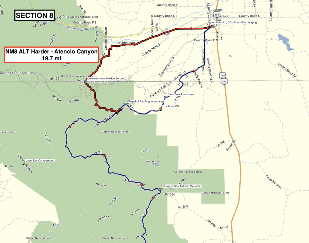
The Beehive Fire is burning on Section 8 and a bypass is required

  • To bypass the closure area, take Highway 64 east, 285 north, then FS87/439/441 to reconnect to the tracks at the “Views of San Antonio Mountain” waypoint.
  • This bypass is 30 miles. Pavement on Hwy 64 and 285, and maintained gravel/dirt to connect to the tracks at the waypoint.
  • As always, be mindful of local communities and fire crews and stay out of the way.
  • For more information click HERE

See attached screenshots for reference.

Purchase the official map for the NMBDR HERE

Always download the latest version of the GPS tracks just before you go HERE

May 25, 2026 (UPDATED June 9, 2026)

New Tracks Available for Download

A new version of the NMBDR tracks is available labeled NMBDR-June2026-v2

This update includes a few minor refinements and a few new updates:

SECTION 1:

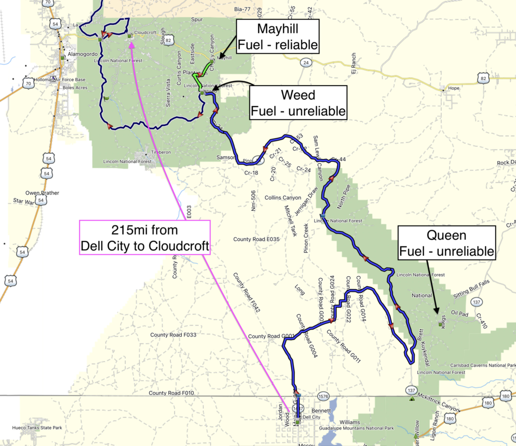
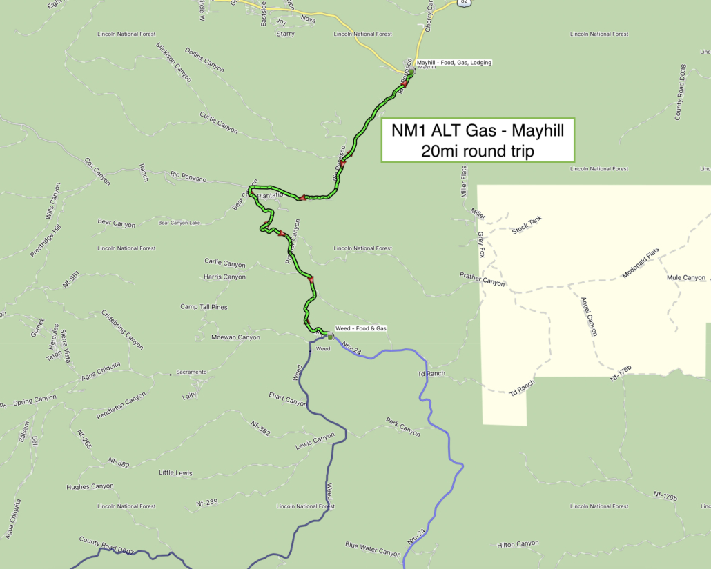
  • Weed currently may not have fuel. Riders can detour to nearby Mayhill for gas (20mi round trip). A new GPS track is included in this new version.
  • If fuel is not available in Weed, it’s 215mi between Dell City and Cloudcroft so it’s important to detour to Mayhill to be safe.
  • Nearby Queen may also have fuel, but it’s unreliable at this time.

SECTION 3:

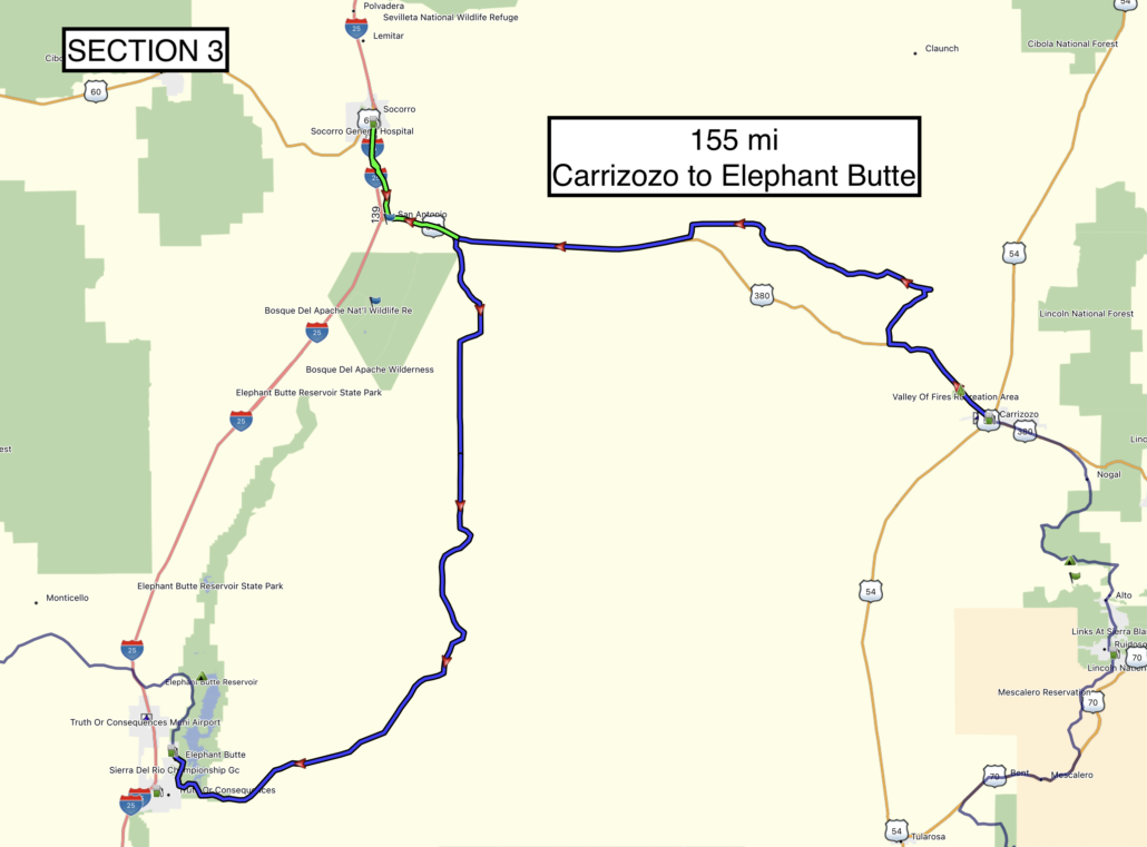
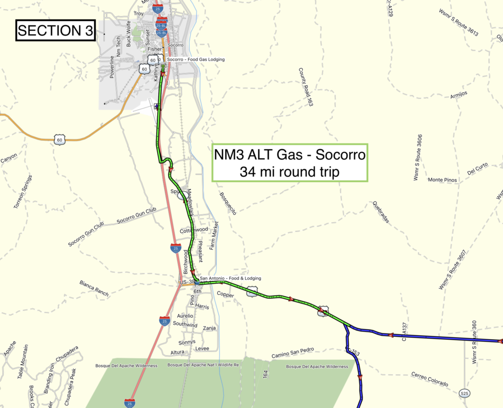
  • Section 3 is 155 mi. and there is no longer fuel in San Antonio. Riders concerned about fuel can take the updated optional track to Socorro for fuel (34mi round trip).

SECTION 4:

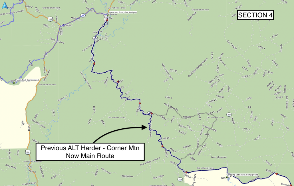
  • The road for the previous track for ALT Harder – Corner Mtn has been improved and is now part of the main route.

SECTION 5:

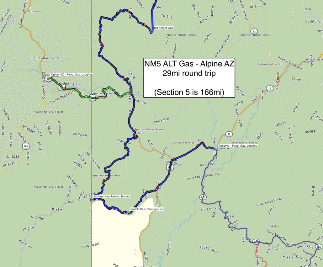
  • Fuel is available but may be limited to one gas station in Reserve, and fuel is not available in Luna.
  • Riders concerned about the 166mi of Section 5 can detour into Alpine AZ for fuel (29mi round trip) which also makes another great town to stay in.

SECTION 6:

  • A minor revision has been made to the tracks south of Grants to correct a previous routing error.

SECTION 7:

  • The main route just outside of Cuba has been revised for the summer to bypass a culvert repair/road closure taking place through September 2026.

SECTION 8:

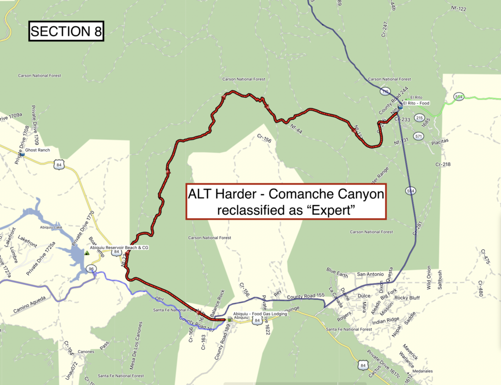
  • The ALT Harder track for Comanche Canyon has been reclassified to ALT Expert for highly-advanced technical sections suitable for very experienced riders only.

See attached screenshots for reference.

Purchase the official map for the NMBDR HERE

Always download the latest version of the GPS tracks just before you go HERE

Backcountry Discovery Routes is a 501c(3) non-profit corporation. © 2026 Backcountry Discovery Routes, Inc. All rights reserved. Terms of Use.