WABDR Route Updates
Updated August 7, 2026


Updated August 7, 2026
Visit the official WABDR Facebook Group page for ride reports, photos, and discussions with other riders in your area HERE
Throughout the riding season, changing conditions are part of every BDR adventure.
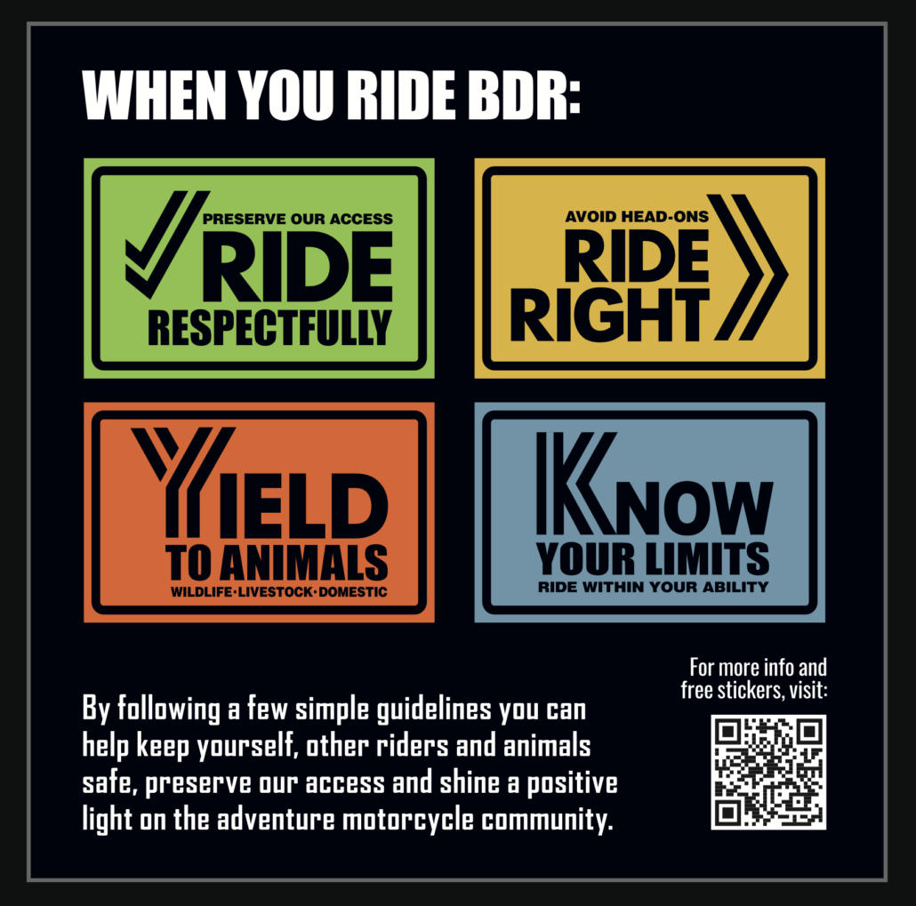
Plan ahead, ride respectfully, and follow the BDR Tenets of Responsible Travel to help ensure a safe trip while respecting local communities and protecting access for everyone.
We often receive reports of riders speeding, not riding right, and blocking roadways in residential areas.
Please be courteous, respect local communities, and remember that adventuring in the backcountry is a privilege, not a right. Be an ambassador for our sport and help preserve access for future riders.
Doing a little homework before you leave and making good decisions on the trail helps ensure a safe trip while protecting the future of the BDRs for everyone.
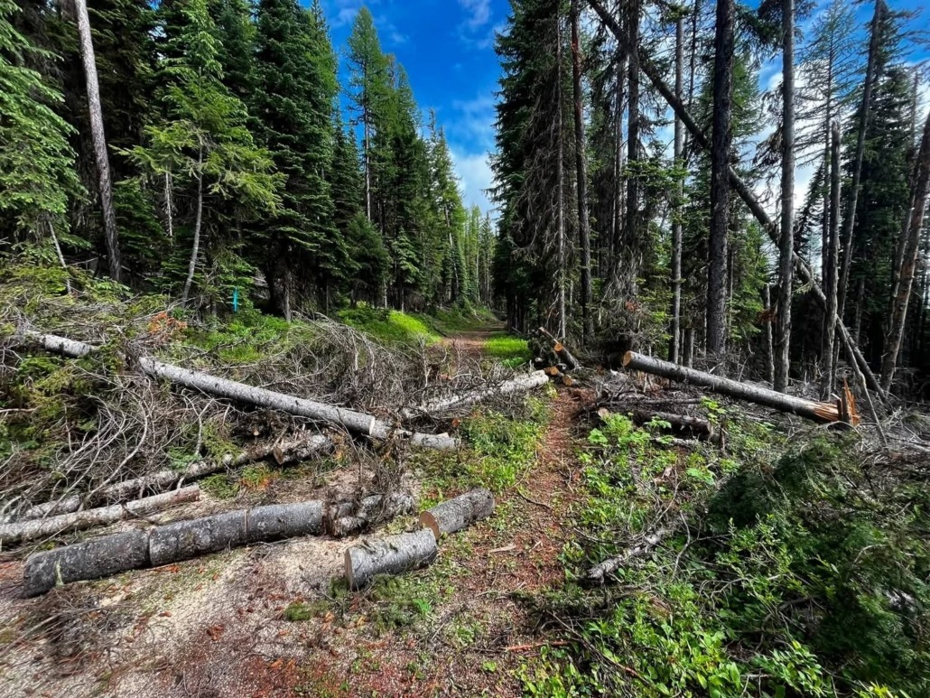
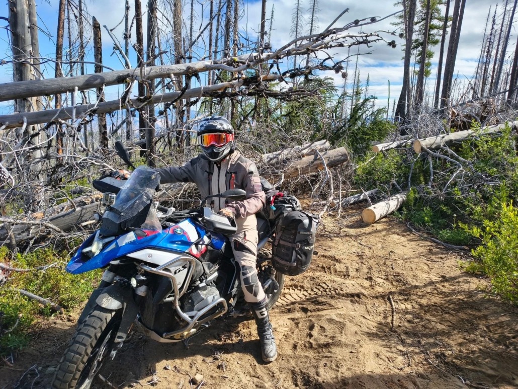
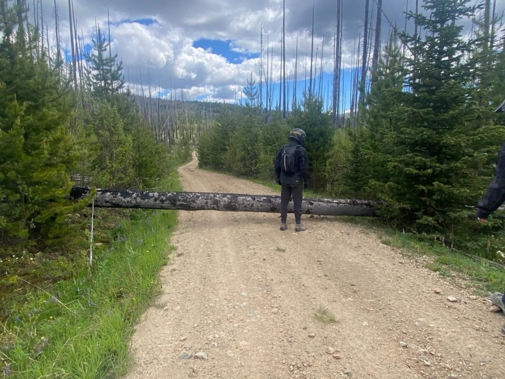
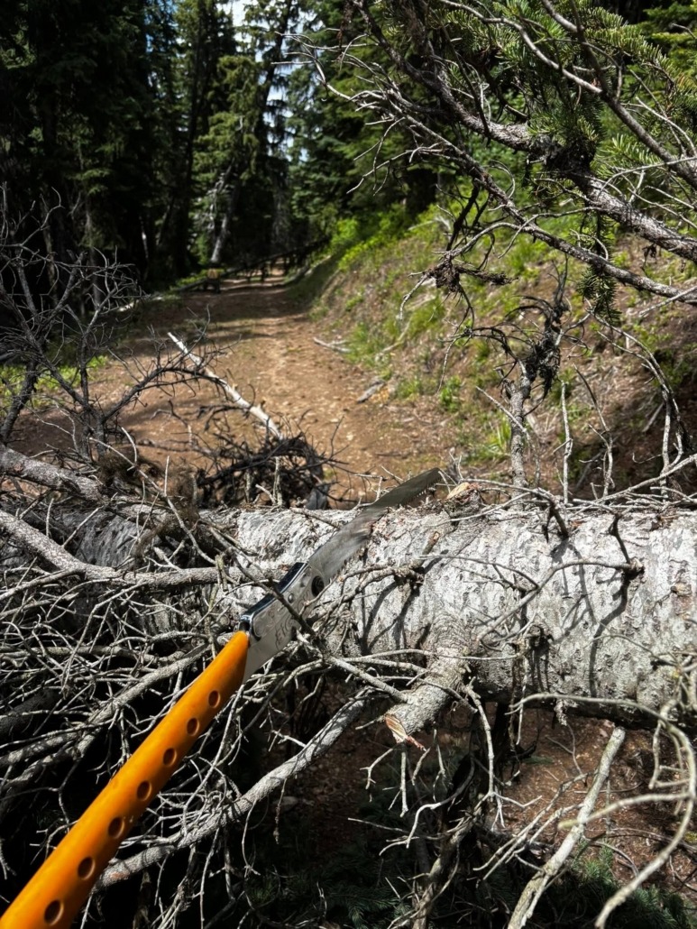
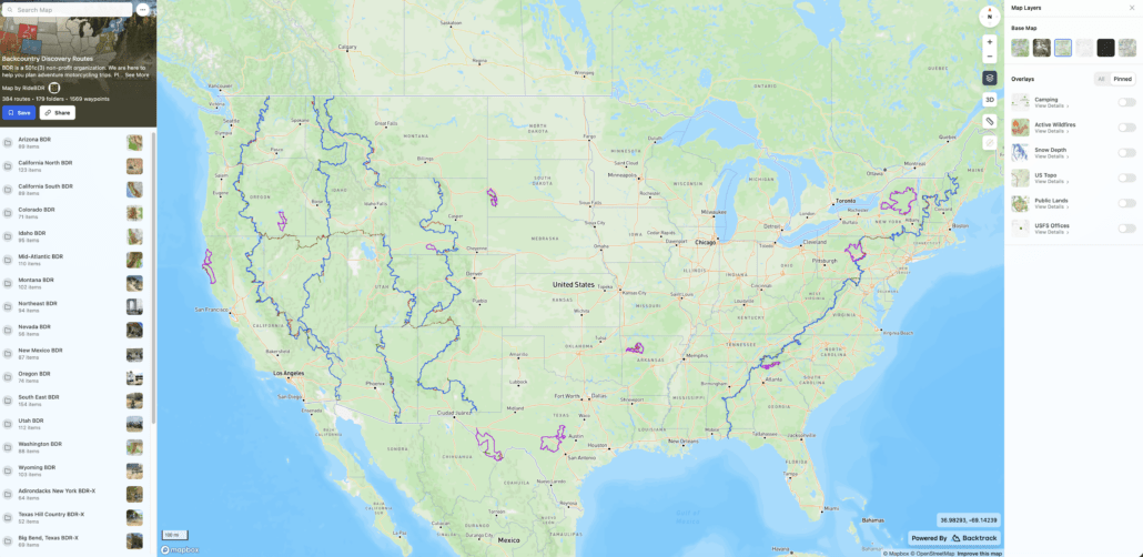
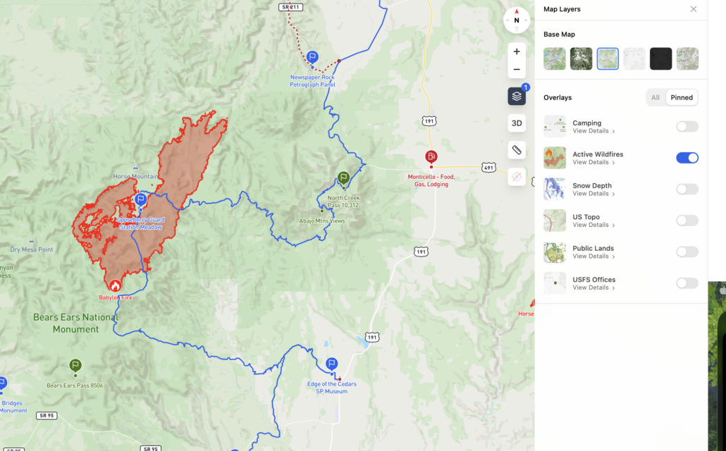
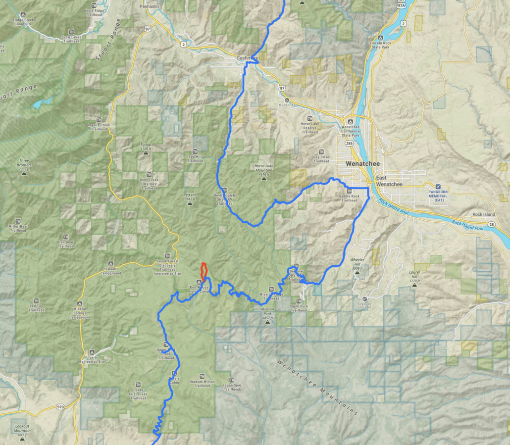
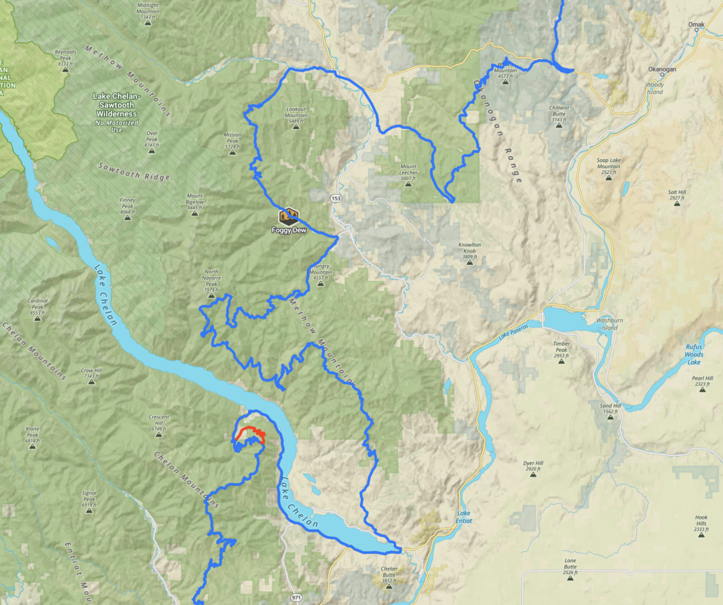
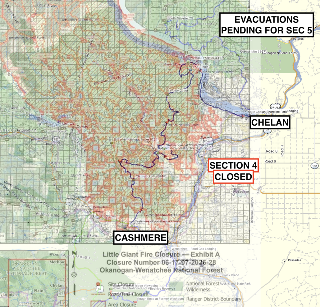
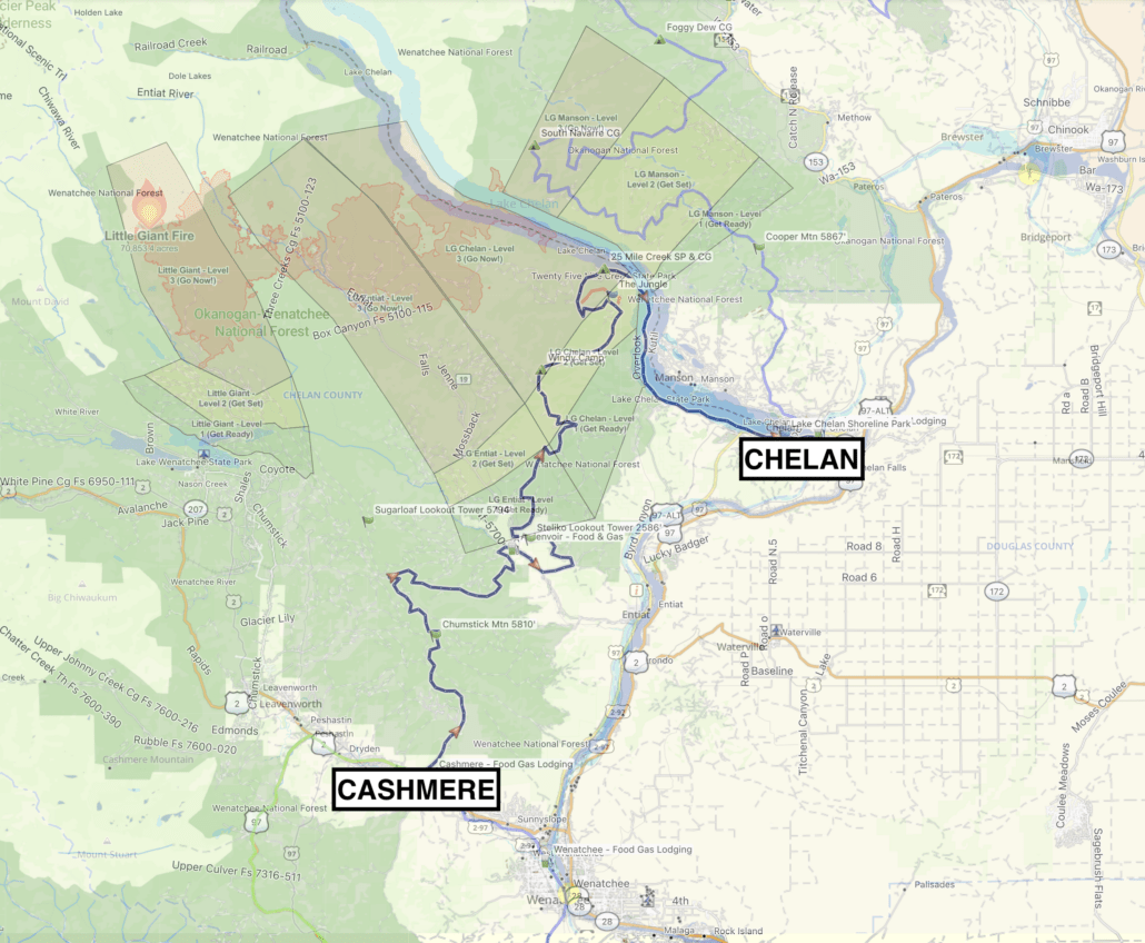
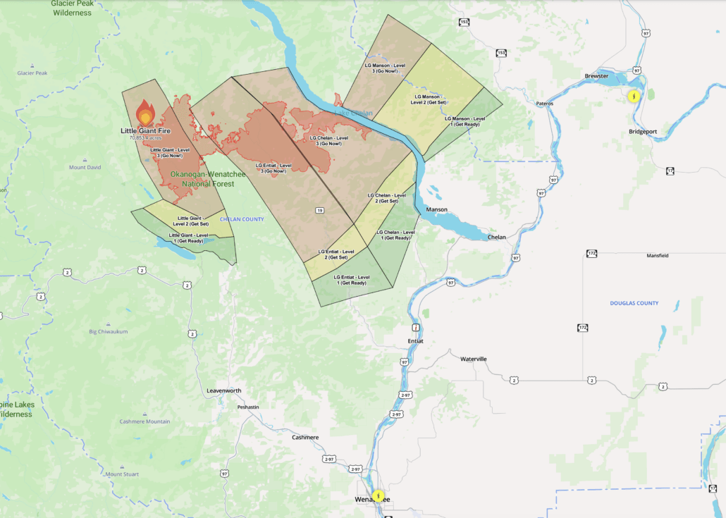
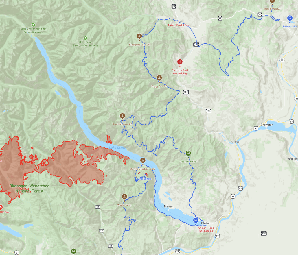
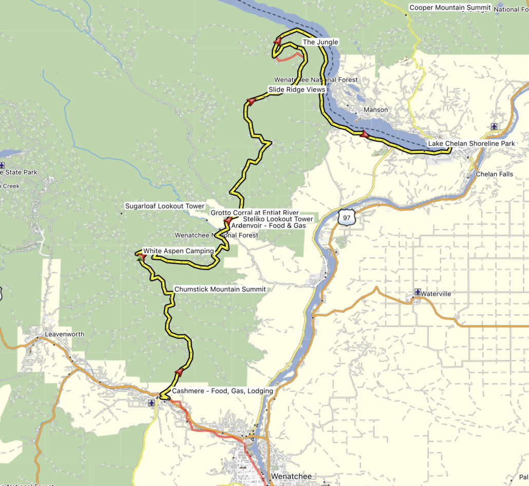
The Little Giant Fire is burning on Sections 4 and 5 impacting much of the route and a bypass is required.
See attached screenshots for reference.
Purchase the official map for the WABDR HERE
Always download the latest version of the GPS tracks just before you go HERE
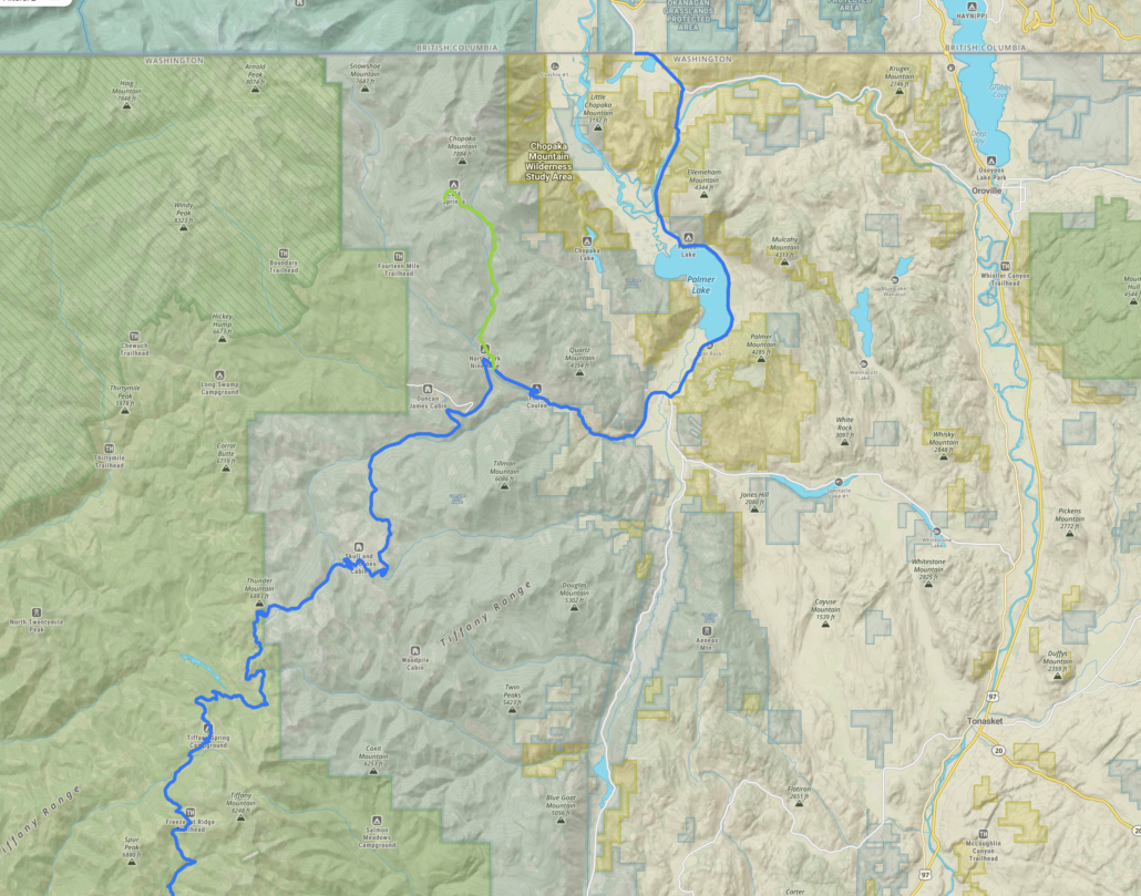
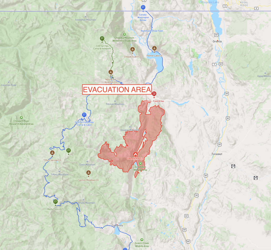
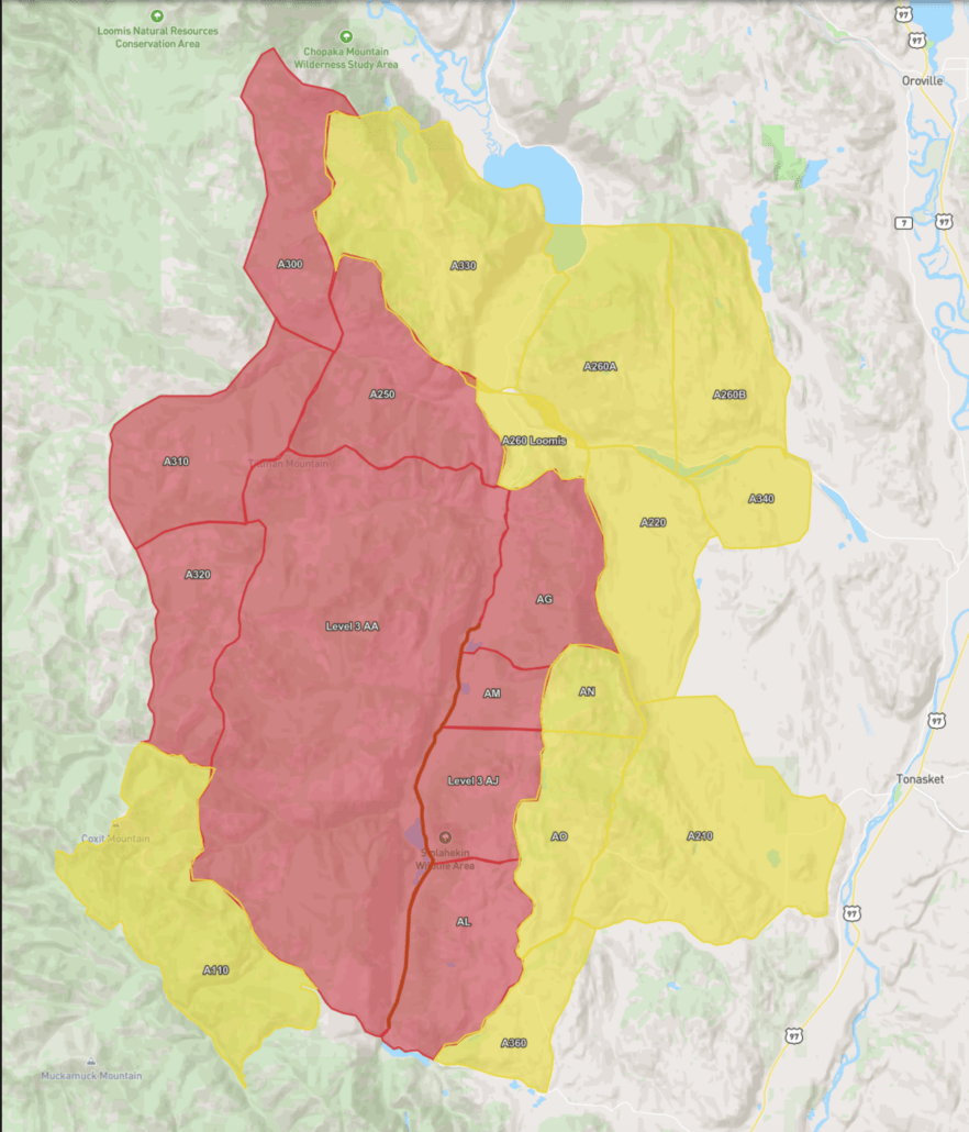
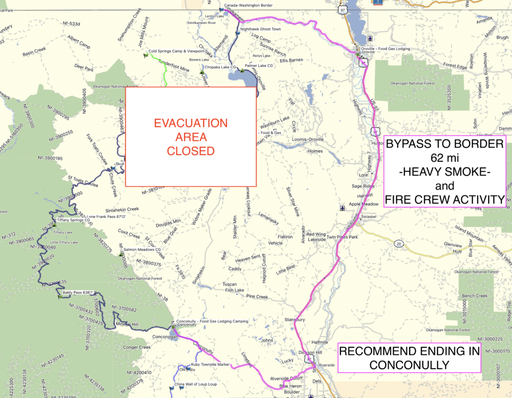
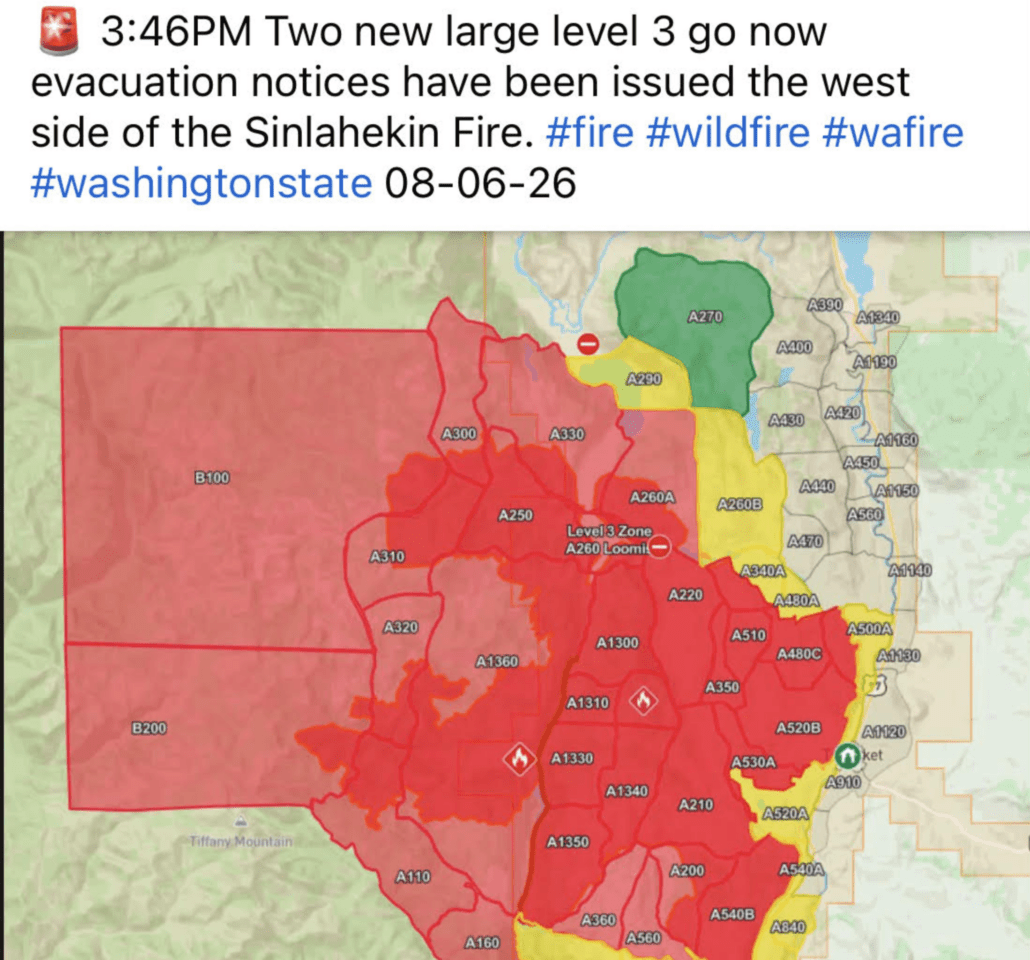
The Sinlahekin Fire is burning on Section 6 impacting much of the route and a bypass is required.
See attached screenshots for reference.
Purchase the official map for the WABDR HERE
Always download the latest version of the GPS tracks just before you go HERE
A new version of the WABDR tracks is available labeled WABDR-June2026
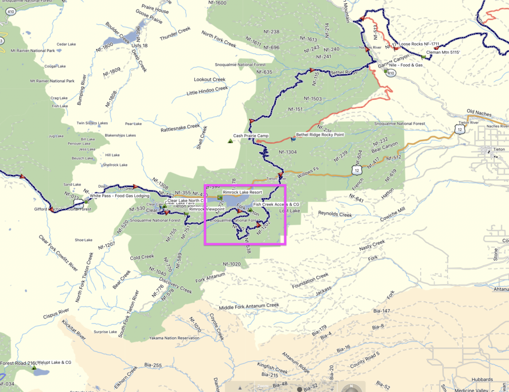
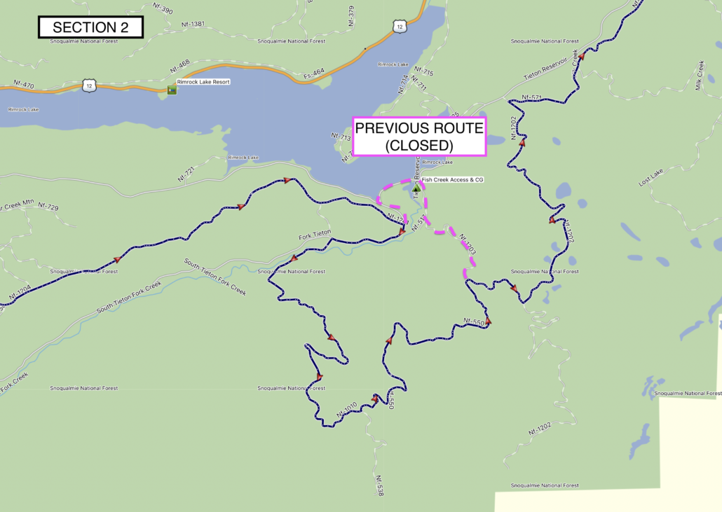
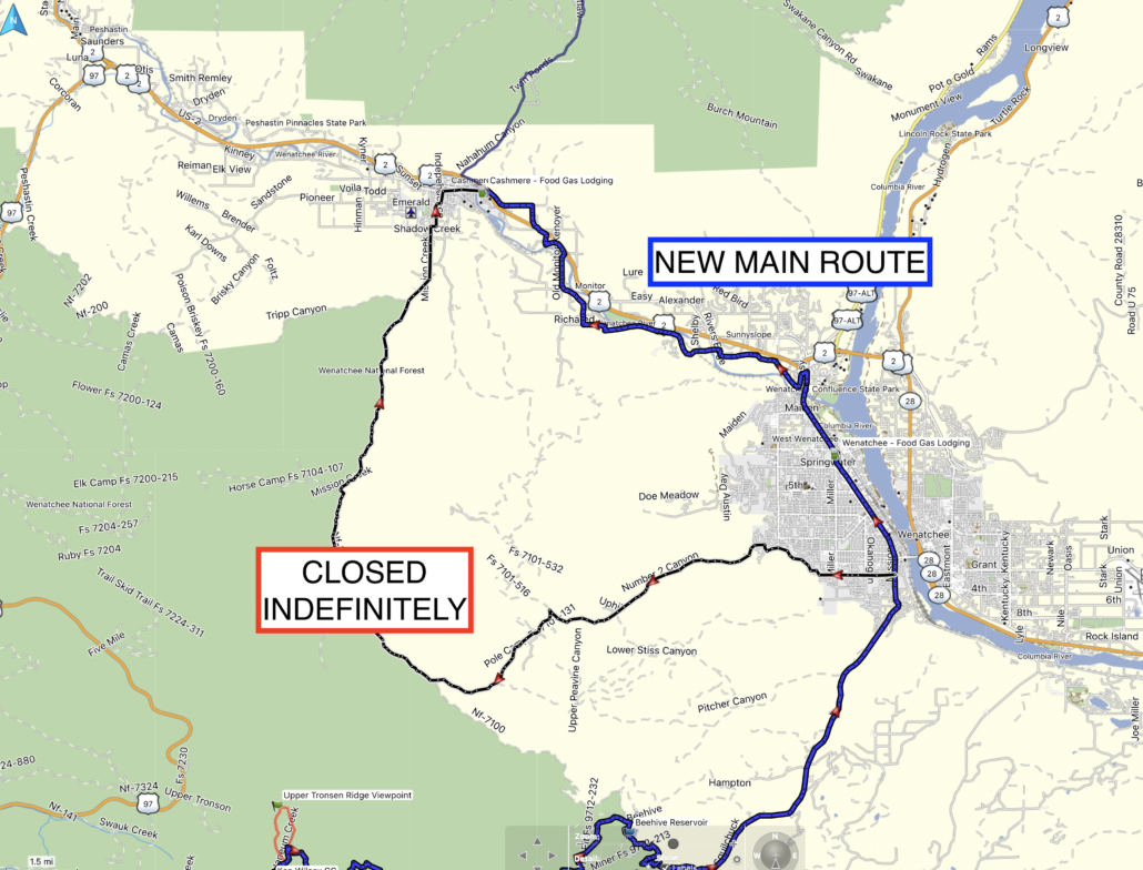
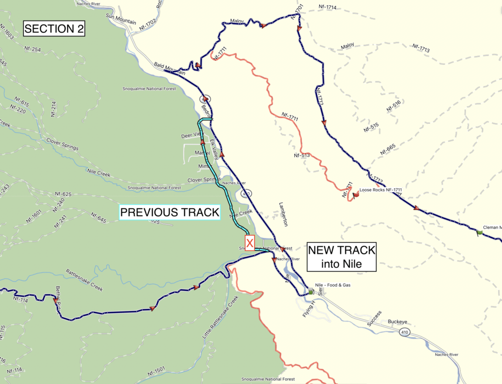
This update includes a few minor refinements and two notable track changes:
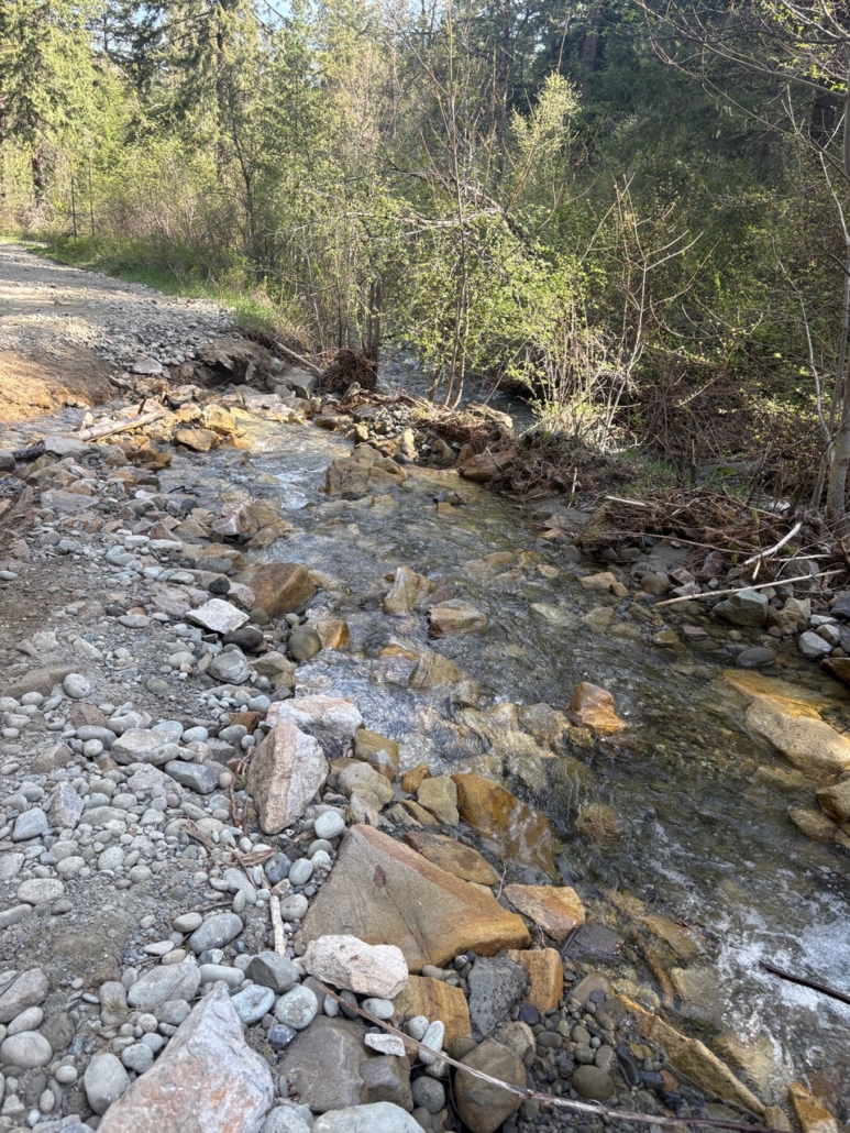
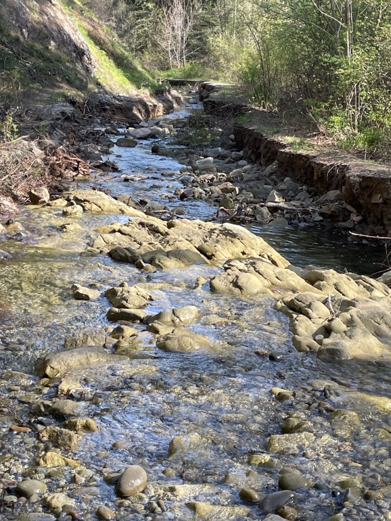
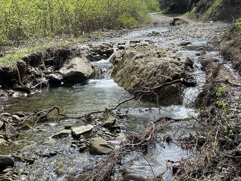
SECTION 2:
SECTION 3:
See attached screenshots for reference.
Purchase the official WABDR map HERE
Always download the latest version of the GPS tracks just before you go HERE
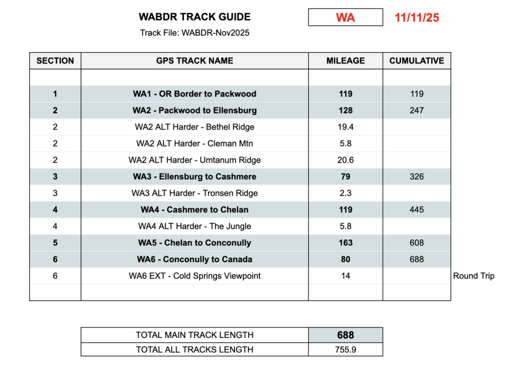
A new version of the WABDR tracks is available labeled WABDR-Nov2025
This update marks a significant and exciting change to the Washington BDR to celebrate its 15th year.
Why the Change?
The Washington BDR was the first route that inspired it all. Spanning from the Oregon border to Canada, this groundbreaking route set the precedent that all other routes would follow in the next 15 years.
As the organization grew, so did our passion for constantly refining and improving our routes. Once we publish a new route, it’s never considered “done” and we are continually reviewing feedback from our community, Ambassadors, and Route Architects to make improvements and add more dirt, more points of interest, new optional harder and extension tracks, and an overall better riding experience.
Celebrating 15 years and over 20,000 miles of free GPS tracks marks a significant milestone for the organization, and what better way to celebrate this than with a fresh new release of our very first route.
The newly revised WABDR tracks contain eleven notable changes, ranging from minor revisions to major improvements. We’ve added new dirt roads, reclassified portions, discovered more seldom-travelled forest roads, expanded Extension tracks, added new waypoints, and refined existing segments to bring significant improvements to an already incredible route.
For riders who have not yet ridden the WABDR and those who have, these new changes bring a fresh perspective and a reason to visit Washington and experience the one that started it all.
List of Primary WABDR Changes
WABDR: Ride Respectfully Reminder – Section 4
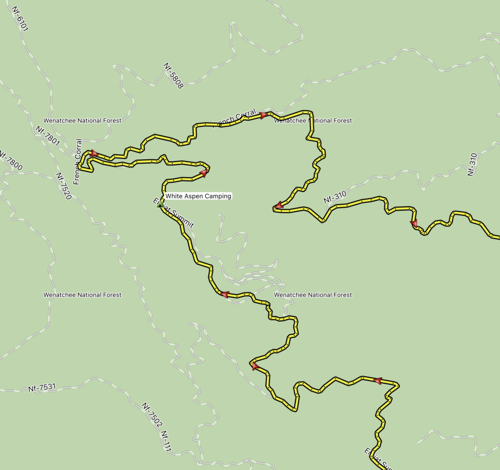
We have received complaints from local residents in the Section 4 of the WABDR, specifically along the Entiat Summit Road NFD 5200 between Chumstick Mountain and French Corral, that BDR riders are not respecting private property signs and speeding along the road. This forest service road has a negotiated easement with private property owners, allowing BDR riders to go through, but ONLY if you ride respectfully and obey private property signs. There are road signs indicating that the campsites are private property with the owners contact info on them, and signs asking the drivers to slow down for the 1.5 mile ridge line of the private property.


 NEBDR Route Updates