Donate $100+ to receive a limited-edition Adirondacks shirt, map, and decal.
The shirt is available only through this fundraiser.
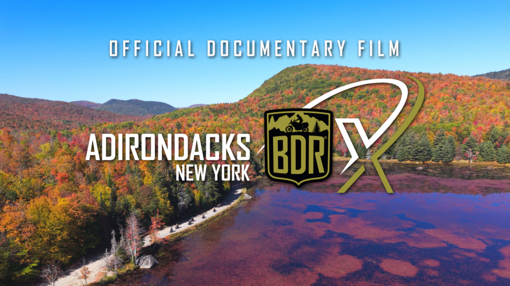
The Adirondacks BDR-X is a 700-mile adventure route looping Adirondack Park in northern New York State. Totaling 6 million acres, the Adirondack Park is the largest publicly protected area in the contiguous United States.
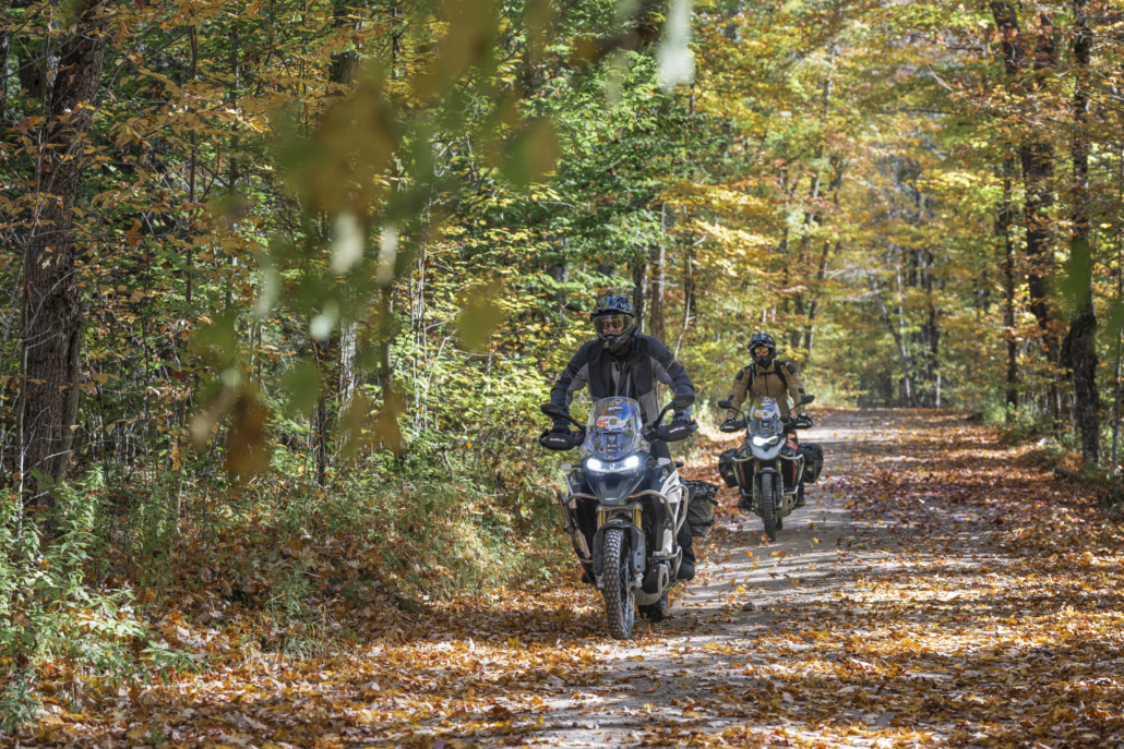
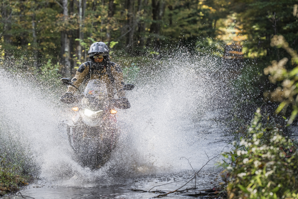
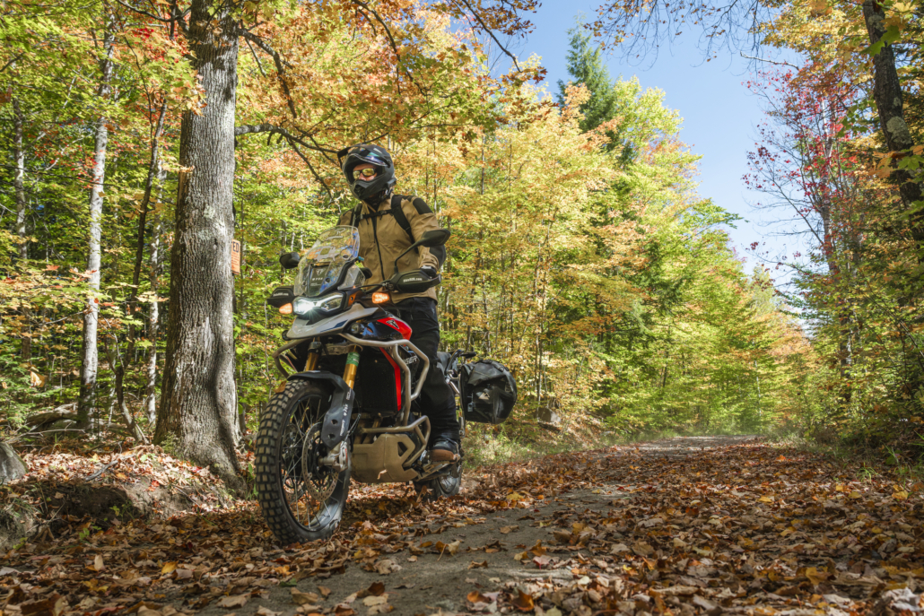
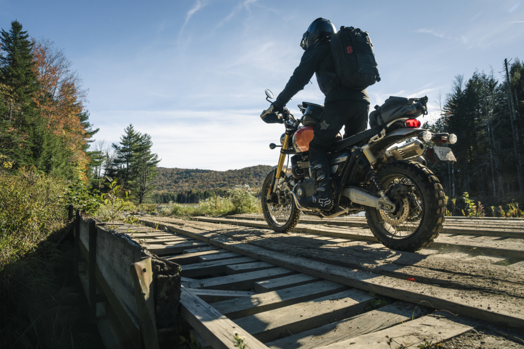
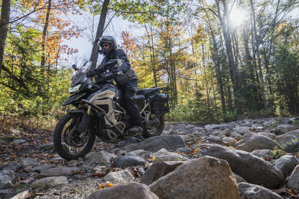
Riders will experience a collection of beautiful twisting tarmac, lightly-maintained seasonal roads through pristine natural areas, as well as the occasional rocky, sandy, or muddy pathway. The majestic beauty of the tight forested canopy is abundant through the countless state and wild forests of the Adirondacks. Water is found throughout the route as it meanders through expansive valleys full of flowing rivers and stunning lakes. Designed with approximately 50% pavement, this route is approachable for most adventure riders and delivers the full BDR experience for new and seasoned riders alike.
Join us live for the premiere of the Adirondacks BDR-X at Americade on May 28th. Be there in person as we officially release the route, and if you can’t make it to Americade, you can still catch the release on YouTube from the confront of your home. Learn more about the route release and RSVP for the in-person event HERE.
BDR is grateful to the following route presenting sponsors, without whom this route would not be possible: Triumph Motorcycles, Fox Racing, and Moto Vermont.
WATCH THE TRAILER
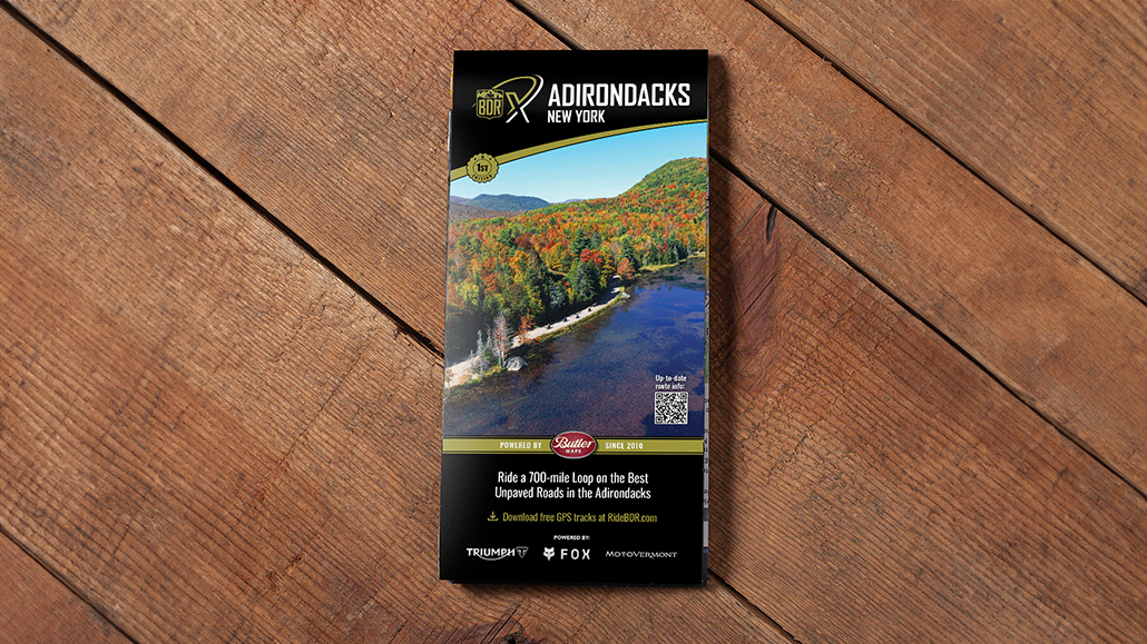
PURCHASE THE MAP
The latest version of the Adirondacks New York BDR-X map is the First Edition,
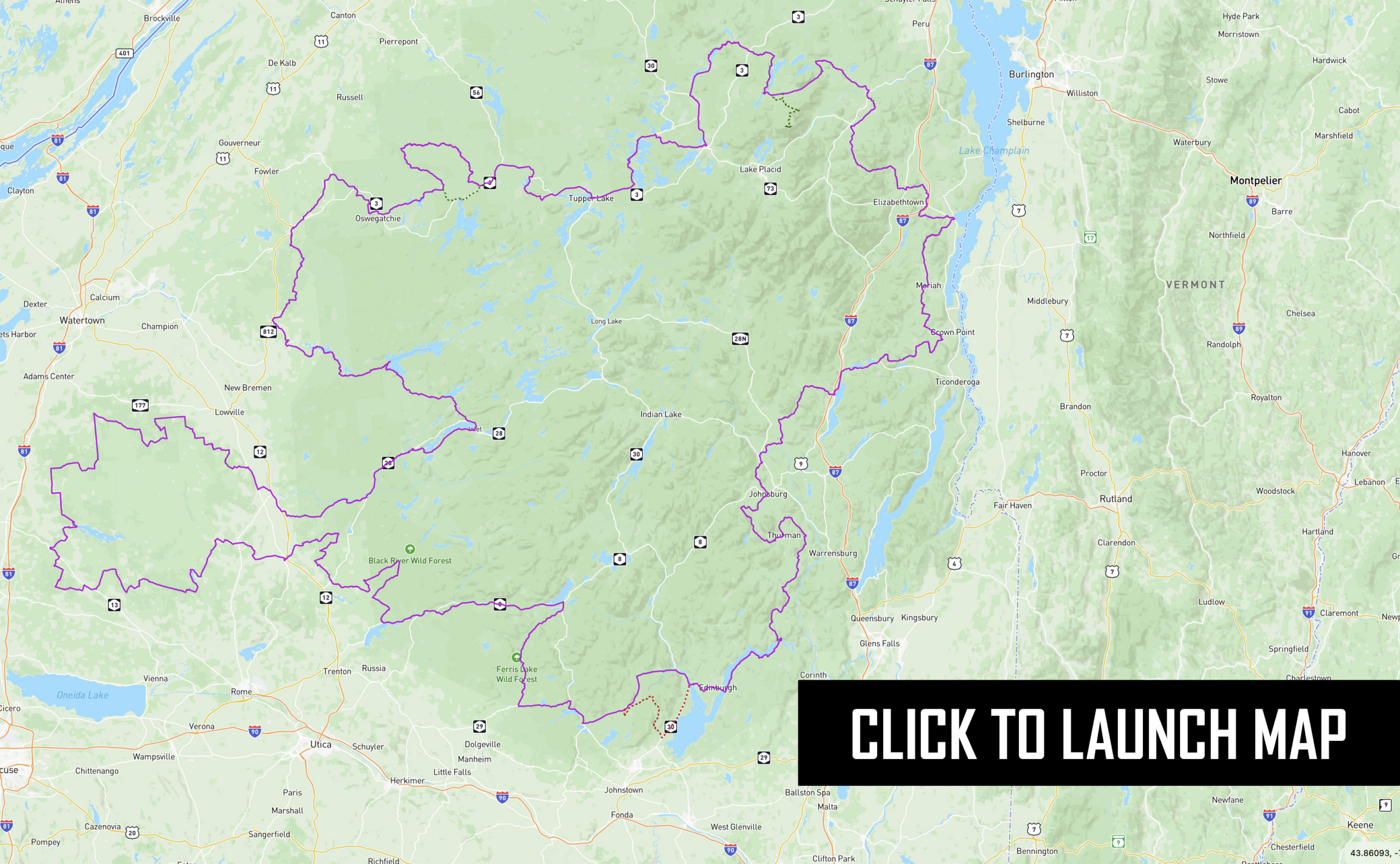
dated: February 2026
SECTION-BY-SECTION
WESTPORT TO SARANAC LAKE – 93 miles
Departing from the quaint lakeside town of Westport, riders are quickly immersed into the natural beauty of the Adirondack Mountains as a series of flowing paved and seasonal roads carry you into the rugged and rural Adirondack Park. Steel Woods Road offers several primitive camp spots along the Boquet River. A few miles down the route, Wells Hill Rd features a few light rocky inclines and a beaver pond that often overflows onto the trail. Once over Jay Mountain you are in the High Peaks region! A quick stop to check out the impressive Jay Covered Bridge is recommended before continuing on to Au Sable Forks to resupply.
The route meanders through a series of dirt and paved roads, with an optional extension to the top of Whiteface Mountain for unbelievable 360-degree views (fee required). Kushaqua Mud Pond Road can pose a small challenge when wet, and several campsites are available along Lake Kushaqua and Buck Pond. Historic Saranac Lake awaits those looking for lodging at the end of Section 1 with nearby Lake Placid as an alternative place to rest for the night.
LODGING
The Inn at Wesport
- Address: 1234 Stevenson Rd, Westport, NY 12993
- Phone: (518) 335-1966
- Visit Website »
Westport Lakeside Motel
- Address: 80 Champlain Ave, Westport, NY 12993
- Phone: (518) 962-4501
- Visit Website »
Hilltop Motel
- Address: 35 Youngs Rd, Westport, NY 12993
- Phone: (518) 962-4401
- Visit Website »
Hotel Saranac
- Address: 100 Main St, Saranac Lake, NY 12983
- Phone: (518) 891-6900
- Visit Website »
Prescott House ADK
- Address: 129 Franklin Ave, Saranac Lake, NY 12983
- Phone: (518) 543-4300
- Visit Website »
Voco Saranac
- Address: 250 Lake Flower Ave, Saranac Lake, NY 12983
- Phone: (518) 619-4000
- Visit Website »
Traverse Lodge
- Address: 644 Lake Flower Ave, Saranac Lake, NY 12983
- Phone: (838) 235-5433
- Visit Website »
Note: Additional food and lodging can be found in nearby Lake Placid.
FOOD
Jambs on Main
- Address: 6476 Main St, Westport, NY 12993
- Phone: (518) 637-8921
K&D Deli and Grocery
- Address: 6519 Main St, Westport, NY 12993
- Phone: (518) 962-4351
- Visit Website »
The Knock
- Address: 6679 Main St, Westport, NY 12993
- Visit Website »
River Trail Beerworks
- Address: 79 Woodruff St, Saranac Lake, NY 12983
- Phone: (518) 891-3765
- Visit Website »
Origin Coffee
- Address: 77 Main St, Saranac Lake, NY 12983
- Visit Website »
Sofia’s Mexican
- Address: 19 Broadway, Saranac Lake, NY 12983
- Phone: (518) 354-5013
Mtn Chef
- Address: 69 Main St, Saranac Lake, NY 12983
- Phone: (518) 354-5098
- Visit Website »
FUEL
Westport
Elizabethtown
Au Sable Forks
Saranac Lake
DISCOVERY POINTS
Jay Covered Bridge
Historic wooden covered bridge spanning the East Branch Ausable River in Jay, New York.
Whiteface Mountain (Off Route)
High Peaks landmark featuring the Veterans’ Memorial Highway, summit views, and access to one of New York’s tallest mountains.
Lake Placid Olympic Museum (Off Route)
Museum highlighting Lake Placid’s Olympic history, including artifacts and stories from the 1932 and 1980 Winter Games.
SARANAC LAKE TO HARRISVILLE – 110 MILES
Forest Home Road winds out of Saranac Lake with serpentine tarmac, marking the start of one of the most picturesque paved sections of the route. Route 3 heads west through Tupper Lake and Sevey’s Point before turning north onto a stretch of primitive dirt within the Adirondacks Preserve. Be mindful of sand, mud, embedded logs, and damaged bridges or culverts on this unmaintained stretch of dirt.
Just before Tooley Pond Road, there is a seasonal gate that may be closed after September 15 due to hunting season, so plan accordingly. Section 2 ends in the town of Harrisville, which is tiny but offers fuel and a few restaurants. Riders looking for traditional lodging might continue on the route or detour to a nearby town like Gouverneur.
LODGING
Note: There is no lodging directly in Harrisville. Nearby options are:
Lawrence Manor
- Address: 214 E Main St, Gouverneur, NY 13642
- Phone: (315) 287-1640
- Visit Website »
Natural Bridge Watertown KOA and Cabins
- Address: 6081 State Rte 3, Natural Bridge, NY 13665
- Phone: (315) 644-4098
- Visit Website »
Riverside Hotel
- Address: 300 County Rd 12, Antwerp, NY 13608
- Phone: (315) 287-0449
- Visit Website »
Packbasket Adventures
- Address: 12 Reed Rd, Wanakena, NY 13695
- Phone: (518) 858-6502
- Visit Website »
FOOD
Mystic River Cafe
- Address: 8204 Main St, Harrisville, NY 13648
- Phone: (315) 543-2233
- Visit Website »
Village Inn of Harrisville
- Address: 8208 Main St, Harrisville, NY 13648
- Phone: (315) 543-9382
FUEL
Tupper Lake
Sevey’s Point
UB’s Mercantile
Harrisville
DISCOVERY POINTS
The Wild Center
Natural history museum and outdoor science center featuring Adirondack wildlife, forest exhibits, and the elevated Wild Walk trail.
HARRISVILLE TO OLD FORGE – 80 MILES
South out of Harrisville, the route stays within the Adirondack Park, but brushes along numerous state and wild forests as the terrain turns from asphalt to gravel and back again at several points. Soft Maple Road meanders along the Beaver River, one of the many popular canoe trails within the park. It’s hard to believe that you are riding through one of the most populated states in the country as you flow through such desolate forests.
Stillwater Road leads down to the incredibly picturesque (and quite remote) Stillwater Reservoir. The tiny lakeside hamlet of Stillwater hosts a small restaurant and inn (open on weekends only) and is worth a visit. Big Moose Road winds south to the villages of Inlet and Old Forge, which both offer great places to grab a room and a meal for the night.
LODGING
The Woods Inn (Inlet)
- Address: 148 NY-28, Inlet, NY 13360
- Phone: (315) 903-0000
- Visit Website »
Marina Motel (Inlet)
- Address: 6 S Shore Rd, Inlet, NY 13360
- Phone: (315) 357-3883
- Visit Website »
Eagle Bay Village (Inlet)
- Address: 5576 NY-28, Eagle Bay, NY 13331
- Phone: (315) 357-6812
- Visit Website »
Pine Knoll Hotel
- Address: 123 S Shore Rd, Old Forge, NY 13420
- Phone: (315) 369-6740
Village Cottages
- Address: 156 Garmon Ave, Old Forge, NY 13420
- Phone: (315) 369-3432
- Visit Website »
The Forge Motel
- Address: 104 Lamberton St, Old Forge, NY 13420
- Phone: (315) 369-3313
- Visit Website »
FOOD
Walt’s Diner
- Address: 3047 NY-28, Old Forge, NY 13420
- Phone: (315) 369-2582
- Visit Website »
Ozzie’s Coffee Bar
- Address: 3019 NY-28, Old Forge, NY 13420
- Phone: (315) 369-6246
- Visit Website »
Keye’s Pancake House
- Address: 2967 NY-28, Old Forge, NY 13420
- Phone: (315) 369-6752
Screaman Eagle Drafthouse
- Address: 172 NY-28, Inlet, NY 13360
- Phone: (315) 357-6026
- Visit Website »
Tony Harpers Pizza & Clam Shack
- Address: 156 NY-28, Inlet, NY 13360
- Phone: (315) 316-1500
- Visit Website »
Blue Line Coffee
- Address: State Rt 48, Inlet, NY 13360
- Phone: (315) 357-5116
FUEL
Stillwater Reservoir
Fulton Chain Lakes
Old Forge Hardware Co
DISCOVERY POINTS
Stillwater Reservoir
Remote Adirondack reservoir known for scenic paddling, camping, fishing, and access to wilderness recreation.
Fulton Chain Lakes
Series of interconnected Adirondack lakes near Old Forge and Inlet, popular for boating, paddling, fishing, and lakeside recreation.
Old Forge Hardware Co
Historic general store in Old Forge offering hardware, outdoor supplies, housewares, gifts, and Adirondack essentials.
OLD FORGE TO BOONVILLE – 165 MILES
Welcome to Tug Hill! Moose River Road features a short dirt section, while most of the first miles into “the tug” are paved. However, once the dirt roads begin, there are few pavement intermissions through Section 4. Mud Creek Road offers a decent opportunity to get your boots soggy, while Olin Road, a few miles down route, may have you bouncing over baby-head-sized rocks. The two-track along Littlejohn Wild Forest is simply magnificent before reaching Altmar, a town well-known for salmon fishing and is the most western point of the route.
Heading southeast, a fun and sometimes sandy loop leads through a series of wild and state forests primarily on dirt on the way to Boonville. Watch for loose rocks and a water crossing on Houlahan Road, which is one of the trickier roads on this route. Boonville has a nice hotel that is just a short walk to downtown, and a handful of restaurants adorn this small village. The Boonville Hotel restaurant is a fan favorite and offers several western NY delicacies such as Chicken Riggies and Beef on Weck.
LODGING
The Lodge at Headwaters
- Address: 13524 NY-12, Boonville, NY 13309
- Phone: (315) 942-2027
- Visit Website »
Edge Hotel
- Address: 3952 NY-12, Lyons Falls, NY 13368
- Phone: (315) 348-4211
- Visit Website »
FOOD
Boonville Hotel
- Address: 103 Water St, Boonville, NY 13309
- Phone: (315) 942-2124
Broadway Cafe & Bakery
- Address: 143 Main St, Boonville, NY 13309
- Phone: (315) 358-4035
Freddy’s Diner
- Address: 101 Ford St, Boonville, NY 13309
- Phone: (315) 942-4359
FUEL
Flat Rock Inn
Tug Hill Hook & Ladder
Altmar
Tug Hill Hideaway
Boonville
DISCOVERY POINTS
Whetstone Gulf State Park (Off Route)
State park known for its dramatic gorge, wooded trails, camping, and scenic overlooks near Lowville, New York.
Salmon River Reservoir
Large reservoir in the Tug Hill region offering boating, fishing, paddling, and access to nearby forest recreation.
BOONVILLE TO NORTHVILLE – 132 MILES
Section 5 starts strong with a few nice seasonal roads through Popple Pond and Hogsback State Forests. The town of Forestport has little in the way of services, but a great diner and fuel are two miles off route in Alder Creek. Heading east, the route enters the 125,000-acre Black River Wilderness, featuring many beautiful camping spots.
The route meets pavement near Ferris Lake and, other than a brief jaunt across unpaved Jones Rd, follows Route 8 east to Piseco Lake. Powley Road, a lovely one-lane dirt road, parallels East Canada Creek and is a wonderful introduction to the natural beauty of the southern Adirondacks. Several primitive campsites along Powley Road overlook the creek and provide easy access to it. The route passes the historic Canada Lake Store, where fuel, great sandwiches, and local goodies are all to be had and well worth a stop.
The optional ALT Harder on Tannery/Tolemantown Road offers a greater challenge compared to the rest of this route, with large and loose rocks, a washed out and somewhat laborious hill climb, and a potentially formidable creek crossing before reaching the lovely town of Northville with several lodging and dining options.
LODGING
Inn at the Bridge
- Address: 641 Bridge St, Northville, NY 12134
- Phone: (518) 863-3174
- Visit Website »
The Inn on Great Sacandaga Lake
- Address: 136 Bushnell Rd, Mayfield, NY 12117
- Phone: (516) 698-8300
- Visit Website »
Glampful
- Address: 162 Hatzenbuhler Rd, Broadalbin, NY 12025
- Phone: (646) 539-9438
- Visit Website »
FOOD
ADK Blend
- Address: 131 S Main St, Northville, NY 12134
- Phone: (518) 863-3875
- Visit Website »
Jay’s Village Cafe & Pizzeria
- Address: 172 S Main St, Northville, NY 12134
- Phone: (518) 863-5025
- Visit Website »
Timeless Tavern
- Address: 162 S Main St, Northville, NY 12134
- Phone: (518) 863-4635
- Visit Website »
FUEL
Canada Lake
Caroga
Mayfield
Northville
DISCOVERY POINTS
Hinckley Reservoir
Scenic reservoir and day-use area offering swimming, picnicking, fishing, and paddling in the southern Adirondack region.
Piseco Lake
Adirondack lake and campground area known for boating, fishing, swimming, and access to nearby trails and forest recreation.
Canada Lake
Quiet Adirondack lake popular for paddling, fishing, boating, and scenic shoreline recreation.
NORTHVILLE TO WESTPORT – 141 MILES
Head north on pavement along the stunning Great Sacandaga Lake before turning into the Lake Wilcox State Forest, where a collection of rural paved and unpaved roads leads you into the charming little ski town of North Creek. A bit further along the route, Olmsteadville offers fuel, food, and groceries at Sullivan’s.
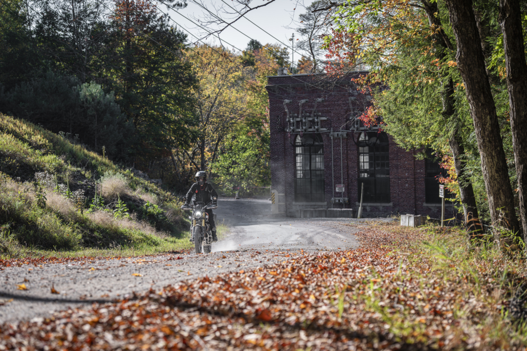
Along the Trout Brook, the route enters Vanderwhacken Mountain Forest. Horse Shoe Pond Road provides a fun, rocky descent into Schroon Lake, a picturesque lakeside community offering shops, restaurants, hotels, and a bustling little main street. Past Paradox Lake and Campground, the route leaves the pavement on scenic Stony Lonesome Road and into Ironville. Known as “the birthplace of the electrical age,” this town is the site of the first industrial application of electricity in the US and is worth a stop for the history buff.
A few more dirt roads through the Hammond Pond State Forest await before Lake Champlain begins to come into view, and Westport welcomes you to the completion of this wonderful journey.
LODGING
The Inn at Wesport
- Address: 1234 Stevenson Rd, Westport, NY 12993
- Phone: (518) 335-1966
- Visit Website »
Westport Lakeside Motel
- Address: 80 Champlain Ave, Westport, NY 12993
- Phone: (518) 962-4501
- Visit Website »
Hilltop Motel
- Address: 35 Youngs Rd, Westport, NY 12993
- Phone: (518) 962-4401
- Visit Website »
FOOD
Jambs on Main
- Address: 6476 Main St, Westport, NY 12993
- Phone: (518) 637-8921
K&D Deli and Grocery
- Address: 6519 Main St, Westport, NY 12993
- Phone: (518) 962-4351
- Visit Website »
The Knock
- Address: 6679 Main St, Westport, NY 12993
- Visit Website »
FUEL
North Creek
Olmstedville
Schroon Lake
Wesport
DISCOVERY POINTS
Great Sacandaga Lake
Large Adirondack foothills lake known for boating, fishing, swimming, camping, and scenic shoreline recreation.
Million Dollar View
Scenic Adirondack overlook known for sweeping mountain and valley views.
Schroon Lake
Adirondack lake and village destination offering boating, swimming, fishing, camping, and mountain scenery.
Paradox Lake
Quiet Adirondack lake and campground area popular for swimming, paddling, fishing, and forest recreation.
Ironville Historic District
Historic district in Crown Point recognized for its early iron industry, preserved landmarks, and Adirondack heritage.
PLAN YOUR ADVENTURE
ADIRONDACKS NEW YORK PACKING LIST
This packing list serves as an example and is not intended to be a complete list for your backcountry riding needs. Feel free to customize this list to work for you.
- Helmet
- Boots
- Goggles
- Gloves (2 sets)
- Protective gear (pressure suit, Leatt brace, knee braces)
- Jacket
- Pants
- Balaclava or neck gaitor
- Water bladder or bottle
- Hydration pack
- Ear plugs
ADIRONDACKS NEW YORK MOTORCYCLE DEALERSHIPS
FREQUENTLY ASKED QUESTIONS
Below are answers to some Frequently Asked Questions about the Adirondacks New York BDR-X.
What is the Adirondacks BDR-X?
The Adirondacks BDR-X is a 720-mile adventure route traversing the Adirondack Park in northern New York State. Totalling 6 million acres, the Adirondack Park is a conglomeration of preserved state, town, and private lands – the largest publicly protected area in the contiguous United States.
Riders will experience an array of beautiful twisting tarmac, lightly-maintained seasonal roads through pristine natural areas, as well as the occasional rocky, sandy, or muddy pathway. The majestic beauty of the tight forested canopy is abundant through the countless state and wild forests of the Adirondacks, met with views of expansive valleys full of flowing rivers and stunning lakes.
In addition to the unwavering beauty, the Adirondacks are steeped in history; The 1932 and 1980 Olympic games in Lake Placid, the impromptu Presidential inauguration of Theodore Roosevelt in North Creek, and the first application of electricity in Ironville are a few of the reasons that the Adirondack Park is distinguished as a National Historic Landmark.
With approximately 50% pavement, this route is approachable for most adventure riders and delivers the full BDR experience for new and seasoned riders alike.
What time of year can I ride the Adirondacks BDR-X?
The Adirondacks BDR-X is best ridden between late May and mid-October, after the snow melts and before winter comes. Given the amount of water in the area, black flies and mosquitoes can be very aggressive late May into June. Snow and cold come quickly, and riders can expect near-freezing overnight temperatures by early fall. Seasonal road closures may be in place, and some roads close for hunting in mid-September. Always check weather forecasts and local conditions before heading out.
How difficult is the route?
The main route is easy to moderate in difficulty when compared to other BDR routes. It is 50% paved and offers one optional ALT Harder section. The weather will have an impact on the difficulty of the route; rain and late snow will increase the possibility for mud, water, washouts, as well as tree and limb blowdowns. The ADK BDR-X is approachable for most adventure riders, while still delivering on the full BDR experience.
The route features mountainous roads of varying condition, dense forest roads, minimally maintained seasonal roads, and a few primitive roads offering little to no maintenance.
Unpaved roads are prone to ruts, washouts, rocks, mud, sand patches, large puddles, and overflowing lakes. Paved roads may have cracks, potholes, tar patches, and frost heaves.
What weather concerns should I have?
Upstate New York, while somewhat populated, includes some rugged landscapes. Riders should use extra caution in spring and early summer and avoid riding this route during or immediately after a heavy rainstorm. This route features some water crossings, some of which can be deep, especially in the spring. Snow and cold come quickly, and riders can expect near-freezing nighttime temperatures by late summer/early fall. Seasonal road closures may be in place, and some roads close for hunting in mid-September. Always check weather forecasts and local conditions before heading out.
Can the Route be done in either direction?
Yes. This route was designed to be ridden counter-clockwise, starting from Westport, NY, but can be started from anywhere in either direction. Use caution in the many blind turns and Ride Right to avoid head-on collisions with other traffic.
How long does it take to ride the Adirondacks BDR-X?
The time it takes to ride a BDR can vary based on many factors, including your fuel range, preparedness, riding skill, stamina, breakdowns, weather, and many other factors. This route is divided into six sections, which does not necessarily mean the number of days or how you should break up your trip. On average, this route will take riders 4-6 days to complete.
Do I need any permits or passes?
Street-legal motorcycles with a license plate can ride this route. No other permits or passes are required.
Are there any advanced sections on the Adirondacks BDR-X?
The Adirondacks BDR-X currently features one optional advanced section. The optional ALT Harder on Tannery/Tolemantown Rd offers a greater challenge when compared to the rest of this route. This section features large and loose rocks, a washed-out and somewhat laborious hill climb, and a potentially formidable creek crossing before reaching the lovely town of Northville with several lodging and dining options. Cell service and EMS response are limited throughout this region, and an emergency satellite communication device is highly recommended.
Can I camp on this route, and where?
There are many places to disperse camp for free along this route, and dozens of great established fee campgrounds indicated on the official map, GPS tracks, and interactive map. Always practice Leave No Trace principles when camping and exercise extreme caution with campfires, and follow local regulations and restrictions.
Can I build a campfire?
Always check with local ranger stations to determine if campfires are allowed before you build one. In most cases, campfires are only allowed in established fire rings. If you are dispersed camping, we don’t suggest building fires. Instead, bring a camp stove for cooking and boiling water to avoid the risk of wildfires. Be sure to fully extinguish fires so they are DEAD-OUT. Use water to ensure a fire is fully extinguished, and the ground is left cool and wet.
How far between gas stops?
The longest distance between available gas on the Adirondacks BDR-X is approximately 110 miles. Even if your bike’s range is well beyond the gas stop distances, we recommend always topping off your gas anytime it’s available and carrying extra fuel. Some gas stations may not have credit card readers at the pump and are closed on Sundays or in the evenings.
What about hotel/motel accommodations along the route?
The Adirondacks BDR-X passes through many small and medium-sized towns, most of which have multiple lodging opportunities. Some towns are quite small, and lodging may not be available, requiring riders to detour off-route to another nearby town.
The longest expanse without abundant lodging is likely between Saranac Lake and Inlet/Old Forge. Potsdam is off route, but can provide options in this section.
The Adirondack region is especially popular in summer and the peak fall colors season. Advanced reservations are highly recommended.
Where can I park my truck/trailer while out on the route?
The ADK BDR-X Facebook group page is a good place to find local info on parking.
In addition, many local storage facilities offer secure parking by the week or month. Westport Self Storage, near the start point of the route, offers vehicle and trailer parking.
Are there any recommended regional delicacies along the route?
Beef on weck: Sliced roast beef sandwich with jus and horseradish, served on a unique roll with caraway seeds and sea salt.
Riggies: Rigatoni in a spicy tomato cream sauce with onions, peppers, and protein of your choice.
Buffalo Wings: Wings are a Sunday staple in Central NY. The Screamin’ Eagle in Inlet offers a great example.
Michigan: A hot dog smothered in homemade meat sauce originated in Plattsburgh, NY.
What navigation resources do I need to ride the Adirondacks BDR-X?
This route cannot be ridden without the use of GPS tracks. Be prepared and bring the official BDR Map and your navigation device with the latest GPS tracks loaded. Free GPS tracks are available for download on this site. The route can also be navigated using a smartphone GPS navigation app, such as onX Offroad, Gaia GPS, Rever, and others. The Adirondacks BDR-X expedition documentary film is a great source of information about the route and is available for free on YouTube.com/ridebdr.
What GPS should I use?
Any modern GPS unit capable of handling multiple tracks with a minimum of 1500 points each is suitable. Garmin models that work best for this application are: Zumo XT, XT2, Zumo 590/595/395/396, Montana, and 276Cx. Many other GPS units are compatible with the GPX file format. Check the owner’s manual of your device for more information. You can also import the tracks into a GPS navigation app, like onX Offroad or Gaia GPS, but we recommend you upgrade to the premium version of the app so you can download and navigate via offline maps.
Is there cell phone service on this route?
Cell phone service is very sparse on this route and non-existent in many areas. A satellite communicator, sat phone, or GPS tracking device is highly recommended for emergency situations, such as a Garmin InReach, so you can call for help or text without cell service (subscription required).
What is the ideal bike to use?
Any adventure or dual sport bike that has a license plate, can run knobby DOT tires, has adequate suspension, can carry the gear you will need, and has enough fuel range. Most adventure or dual-sport motorcycles will be suitable for the trip.
What tires should I use for the Adirondacks BDR-X?
DOT approved knobby tires are strongly recommended. Riding this route without at least a 50/50 tire (50% dirt, 50% road) would not be advisable.
Can you do the route two-up?
Segments of this route can be ridden two-up for those experienced in riding rugged, unpaved roads with a passenger and luggage.
Can I explore off the route in any areas?
Please don’t go off the route anywhere where it’s gated or signed for seasonal or permanent closures, and never venture onto private property.
What if I see a Private Land Sign?
This route may include a few instances where the track follows an easement road through private land. In many, but not all cases, the land owners have installed “private land” signs, and it is important that riders acknowledge these signs and stay on the designated track. If you are unsure of the land ownership adjacent to the roads, it’s best to stay on the track to avoid trespassing. In all cases, riders should never ride off the road, which damages vegetation. Please remember that riding off the designated roads can jeopardize our right to use these roads for recreation.
Are there any gates on the route?
This route may have seasonal gates in place at any time, but especially in the early riding season and late fall. There may be temporary closures when crews are repairing washouts, downed trees, and other road hazards. If roads are closed, please do not ride around the signs, as that can put you and work crews in danger and can get you a hefty fine. Check the BDR website for route updates before you go.
I’m following your tracks and see a Road Closed sign. Does it mean I cannot pass through?
Please abide by posted road closure signs. Ignoring these signs is a sure way of getting a road closed for good. That said, sometimes locals will post unofficial “road closed” or “dead end” signs on public roads for their own personal reasons. Additionally, land managers may not have removed a “closed” sign from a seasonal road – even though the sign right next to it clearly displays the open/closed dates. In these cases, use your best judgment – if in doubt, navigate around the closed road and report it to BDR. And please remember never to engage in arguments with local landowners.
Can I fish on the Adirondacks BDR-X?
Each state has its own recreational fishing requirements and restrictions. Check local websites for each state for restrictions and permitting info if you intend to fish.
How do I get information on current road conditions?
We do our best to post the most up-to-date information about the route on the website. We depend on the BDR community to inform us about route and road conditions, so if you encounter any road closures or severe conditions that are worth reporting, please contact us with the information.
There is also a dedicated Facebook group page. We recommend that you join the group prior to your trip to read trip reports and comments from other riders about their experience on the route. Search for: Adirondacks BDR-X Backcountry Discovery Route.
What about the wild/domestic animals?
Warning: There is a large amount of Deer present along this route – please use extreme caution
New York is a habitat for many animals, like deer, as well as smaller critters and even bears — all of which make their way to the road at some point. Be alert everywhere you go as animals can and will cross your path along the route – especially in the morning and at dusk. Deer are a major concern throughout this route, and you can expect to see many of them, so ride with extra caution.
Slow down as soon as you see animals, as they like to cross in front of bikes. Appropriate food practices while camping are an absolute must for your safety and the animal’s safety.
Yield to all animals, whether wild, domestic, or livestock, by slowing down or stopping. Many locals in rural areas keep their dogs off-leash on their property, and dogs love to chase motorcycles – be cautious and considerate.
Can I drive a 4x4 on this route?
All of the roads used on the Adirondacks BDR-X are public and open to licensed vehicles. If you do decide to drive this route, you will need a reliable 4×4 with high clearance, and full recovery gear is highly encouraged. Always stay to the right and go slowly around blind corners to avoid head-on accidents with others using the roads. We recommend traveling in the direction of the GPX tracks as this is intended to minimize head-on traffic.
What do you mean by Riding Respectfully?
It is absolutely essential that you Ride Respectfully and follow the tips outlined in our Ride Respectfully campaign. Remember, it’s up to all of you to preserve our access – we can easily lose access to many of these roads if we don’t practice proper etiquette. Always represent BDR and the ADV community in the best light.