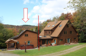
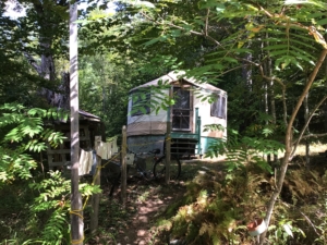
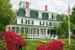
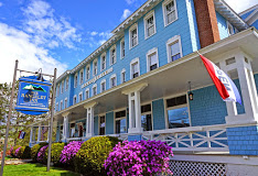
Gray Ghost Inn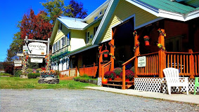
The pine-accented rooms have country-style furnishings and decor, plus private bathrooms. The family suite offers 3 bedrooms, 2 bathrooms and a living room with a TV, VCR and a minifridge.
- Address: 290 VT-100, West Dover, VT 05356
- Phone: (802) 464-2474
- Visit Website »
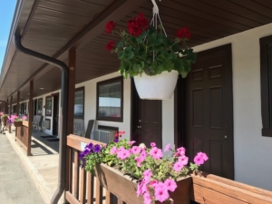
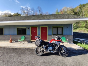
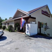
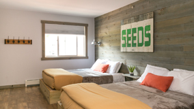
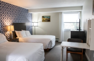
Sleep Woodstock Motel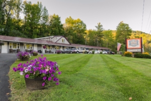
Sleep Woodstock Motel, Woodstock’s Unexpected Motel, offers visitors fully renovated, modern, comfortable accommodations, with today’s top amenities, and park-at-your-door convenience. Perfect for all their motorcycle guests. A true motor inn, the motel offers 12 cozy and clean rooms.
Constructed in 1959 this bit of Americana has had a complete to-the-studs renovation. The owners Leslie & Patrick’s love for the area and their historic motel is surpassed only by their commitment to making your stay relaxing. “You’ll sleep well when you put your head on a pillow at our little motel. They promise!
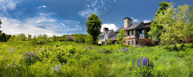
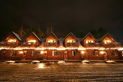
Landgrove Inn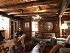
Cradled by an unspoiled valley and surrounded by the majestic Green Mountains, the Landgrove Inn provides a quintessential Vermont getaway. Innkeepers Tom and Maureen invite you to visit their historic country inn rich in four season activities; experience downhill skiing, cross country and snowshoeing at its finest. Explore nearby villages and cultural spots, or sign up for one of the inn’s world-class visual arts workshops and paint, sculpt and study with the masters.
- Address: 132 Landgrove Road, Landgrove, VT 05148
- Phone: 800.669.8466
- Visit Website »
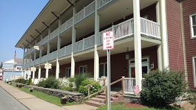
Grafton Inn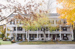
Warmly decorated rooms feature antique furnishings, sitting areas and Keurigs; some have canopy beds. Suites add separate bedrooms. Some quarters offer soaking tubs and/or flat-screen TVs.
- Address: 92 Main St, Grafton, VT 05146
- Phone: (802) 843-2248
- Visit Website »
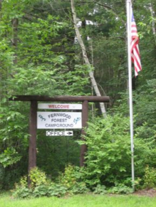
Kenolie Village Campground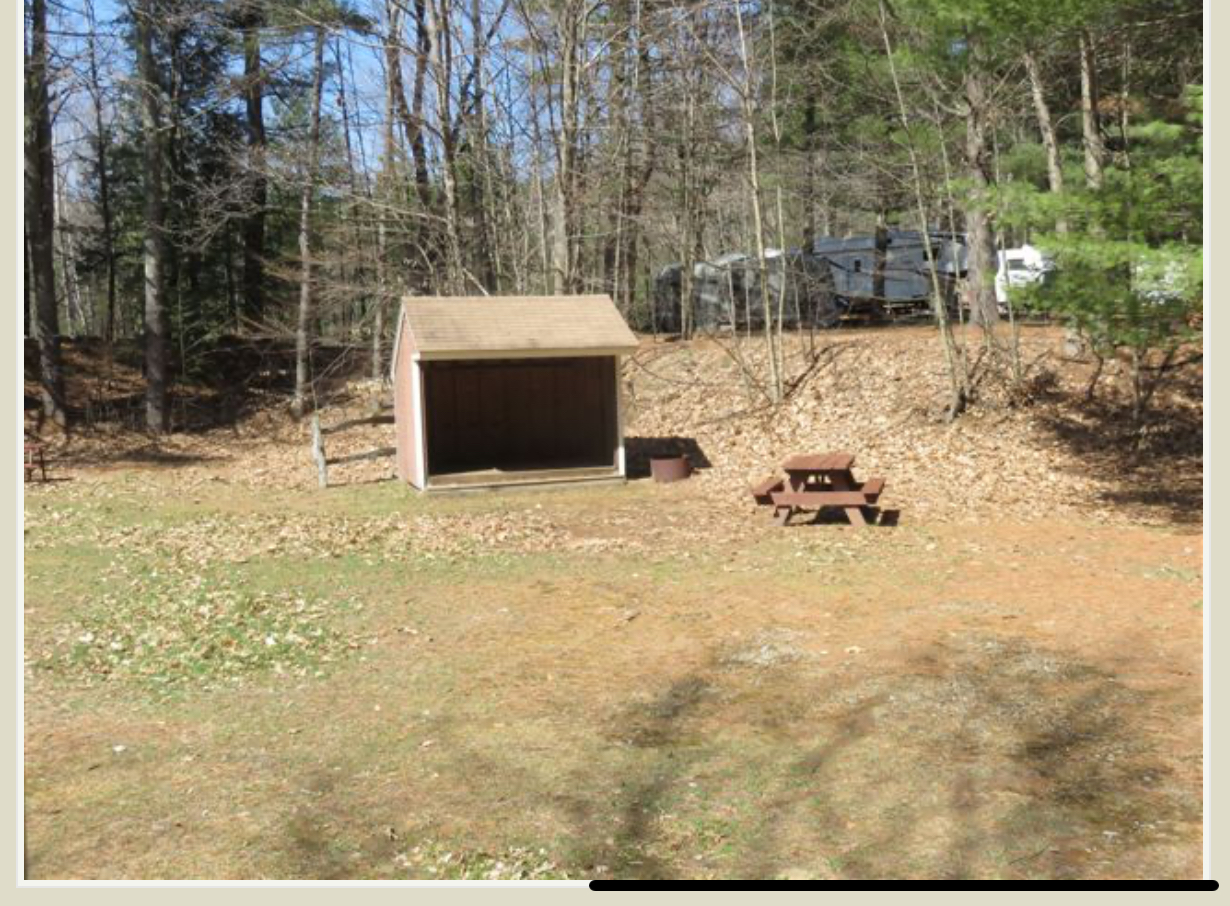
Small clean, traditional family-run campground. Electric, non-electric tent sites, one lean-to site, and a bathhouse with hot showers. Each site includes a picnic table and fire pit. RESERVATIONS ARE NOT REQUIRED except for holiday weekends.
Inn at Water’s Edge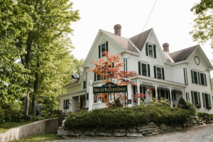
Riders will love direct access to Echo Lake, with a small beach and a dock, and kayaks and canoes complimentary for guests. Could be quite refreshing for riders after a hot and dusty day on the road. They also offer a robust breakfast as part of the room fee.
- Address: 45 Kingdom Road, Ludlow, VT 05149
- Phone: 802-265-0920
- Visit Website »
Kitzhof Inn
Austrian-styled Inn with a rustic vibe, knotty pine accented rooms, large common areas, BYOB bar, 2 outdoor firepits, and plenty of paved parking. All rooms have TVs, AC, and en-suite bathrooms. Breakfast included. Call or go online to book.
- Address: 332 VT Rte 100, West Dover, VT, 05356
- Phone: 802-464-8310
- Visit Website »
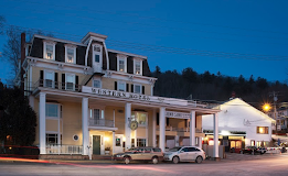
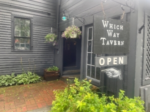
The INN Between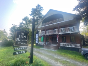
The INN Between is a historic 200-year-old inn and tavern located right in Andover, Vermont, with the Chester Snowmobile Club trail connecting directly to our property — making us an ideal stop for riders. We offer cozy, comfortable rooms, hearty food at The Which Way Tavern (our on-site restaurant), and plenty of space to park bikes and gear. Whether you need a quick refuel, an overnight stay, or just a break by the fire with a pint, we’re here to make your journey even better.
- Address: 1834 Simonsville Rd, Andover, VT 05143
- Phone: (802) 875-1199
- Visit Website »


