BIG BEND TEXAS Route Updates
Updated April 6, 2026

Updated April 6, 2026
Visit the official Big Bend Texas BDR-X Facebook Group page for ride reports, photos, and discussions with other riders in your area HERE.
Throughout the riding season, changing conditions are part of every BDR adventure.
Plan ahead, ride respectfully, and follow the BDR Tenets of Responsible Travel to help ensure a safe trip while respecting local communities and protecting access for everyone.
We often receive reports of riders speeding, not riding right, and blocking roadways in residential areas.
Please be courteous, respect local communities, and remember that adventuring in the backcountry is a privilege, not a right. Be an ambassador for our sport and help preserve access for future riders.
Doing a little homework before you leave and making good decisions on the trail helps ensure a safe trip while protecting the future of the BDRs for everyone.

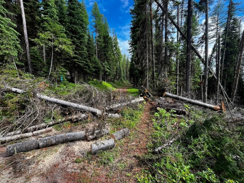
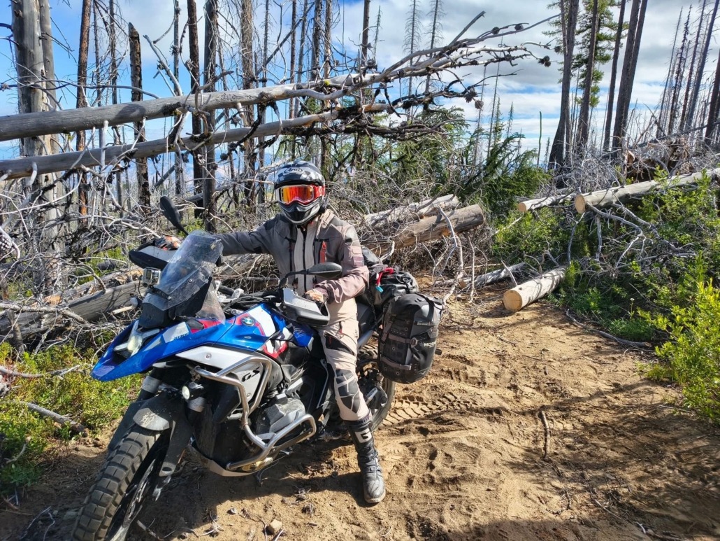
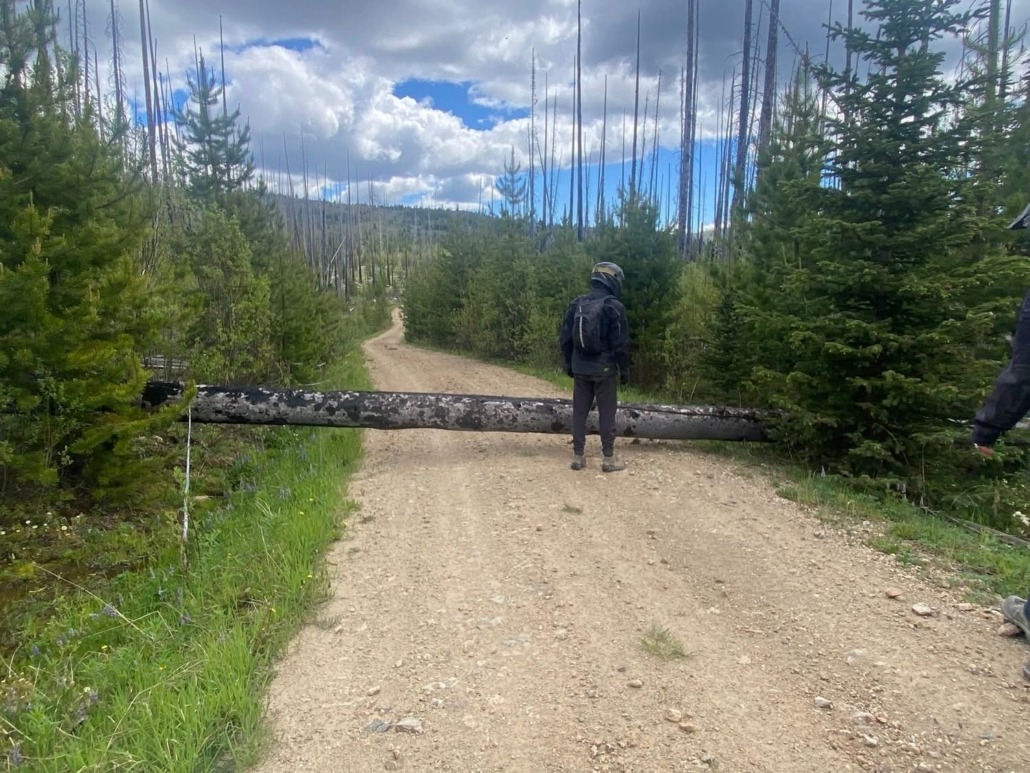
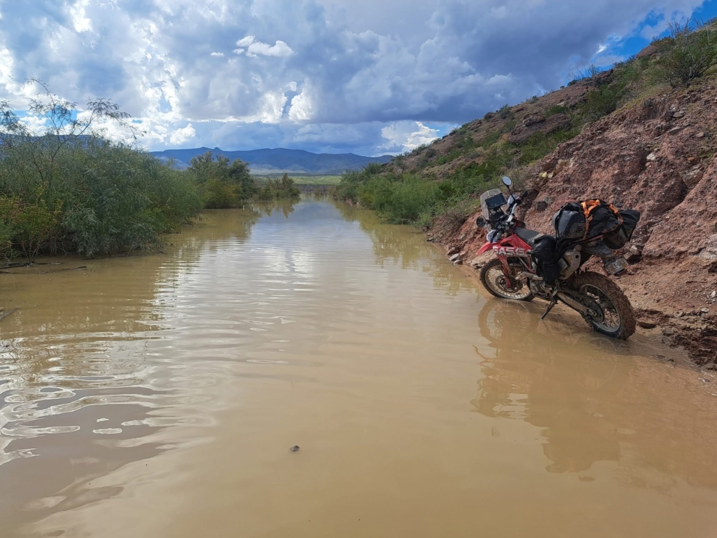
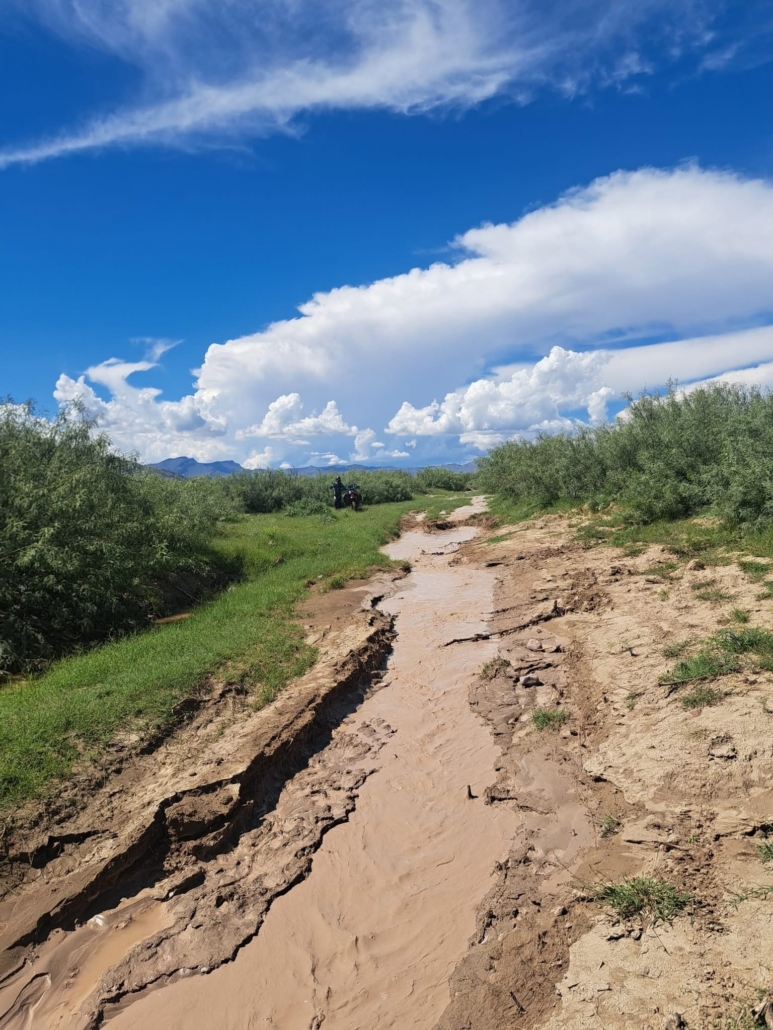
Following the flooding damage in July of this year, multiple dirt roads within Big Bend Natl Park are currently closed.
From the Big Bend Natl Park website:
Due to heavy rain and flooding events in July, the following closures are in effect until further notice:
The Chisos Basin is experiencing a critical water shortage following the failure of the Oak Spring pumps. Stage 3 water restrictions are in effect while repairs are being expedited, with no timeline for restoration. All water has been turned off in the Basin Campground. Drinking water is available at Panther Junction. Public restrooms in the Basin are closed and porta potties are in place. The Lodge is open, but guests are asked to conserve as much water as possible. A charcoal fire ban is in place.
See attached screenshots for reference.
Purchase the official map for the Big Bend BDR-X HERE
Always download the latest version of the GPS tracks just before you go HERE
A new version of the Big Bend TX BDR-X tracks is available labeled BDRX-Big-Bend-May2025.gpx
This update includes a few minor refinements and a few major updates:
SECTION 3:
SECTION 4:
SECTION 5:
See attached screenshots for reference. Updated section descriptions can be found on the main route page HERE
Purchase the all new official map (expected late May 2025) for the Big Bend BDR-X HERE
Always download the latest version of the GPS tracks just before you go HERE


We’ve recently learned that certain roads within Terlingua Ranch lack public easements. As a result, we have removed the Terlingua Ranch portion from Section 3 of the route. We’re exploring potential alternatives, but for now, please respect the private property in this area and avoid riding this segment to help maintain positive relationships with local residents and landowners.
This map reflects the change, and the GPX tracks have been updated. Remember to download the latest route tracks before your trip.


Big Bend National Park will be closing access to Chisos Basin starting August 2025.
This closure will limit lodging opportunities in the area. Riders wishing to lodge or camp at Chisos may need to detour to Terlingua/Study Butte for motels or camp at Rio Grande starting Fall 2025.
Read the article HERE
Check for recent updates in the park HERE
Purchase the official map HERE
Always download the latest version of the GPS tracks just before you go HERE


 2025 SMOKY MOUNTAINS BDR ADVENTURE RIDE WEEKEND FUNDRAISER