BLACK HILLS SOUTH DAKOTA Route Updates

Updated February 19, 2025

Join our Facebook Group for more route updates.

Visit the official Black Hills South Dakota BDR-X Facebook Group page for ride reports, photos, and discussions with other riders in your area HERE.

Before You Ride: Important Reminders

Throughout the riding season, changing conditions are part of every BDR adventure.

Plan ahead, ride respectfully, and follow the BDR Tenets of Responsible Travel to help ensure a safe trip while respecting local communities and protecting access for everyone.

  • Download the latest GPS tracks before your trip. Printed maps and older tracks may not reflect recent route changes. The current GPS tracks are always considered the latest version of the route.
  • Check Route Updates for seasonal closures and beware of fast-changing road conditions before you go. There may be lingering snow and impassible conditions in the early season and deep sand in the summer.
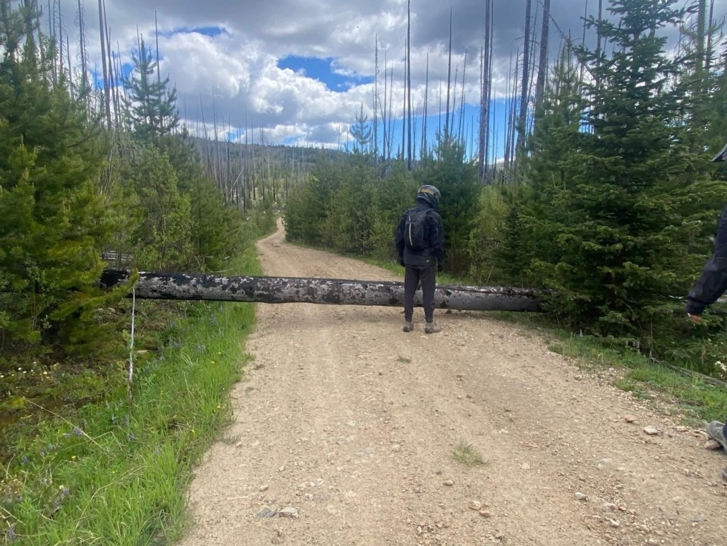
  • Please respect all gates and closures. Never ride around them.
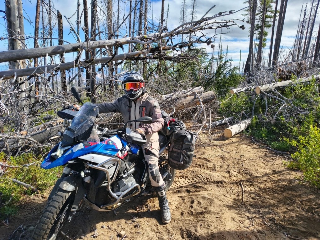
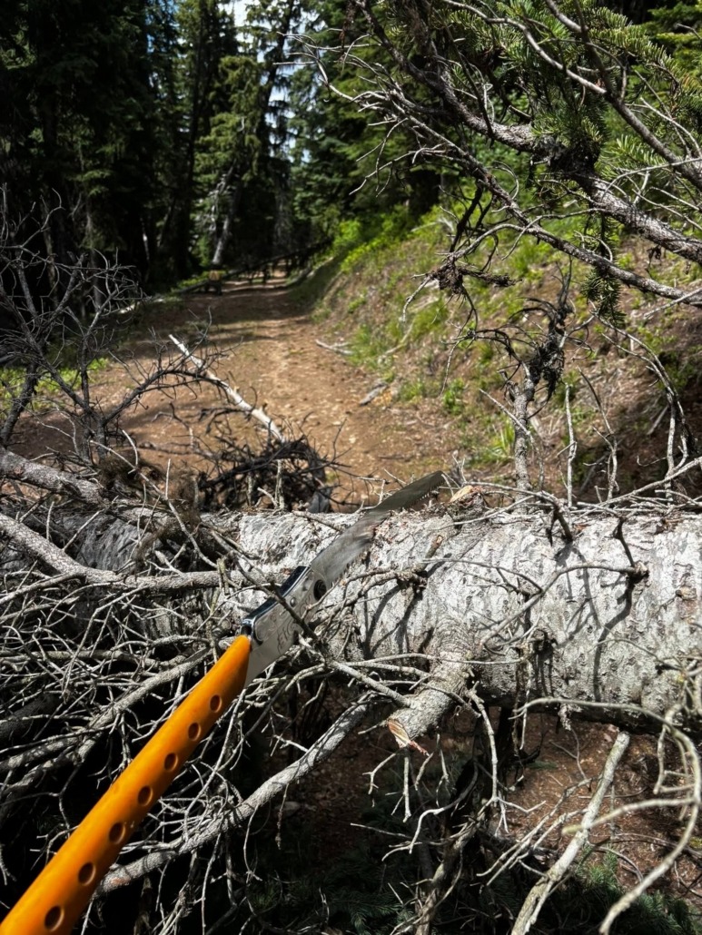
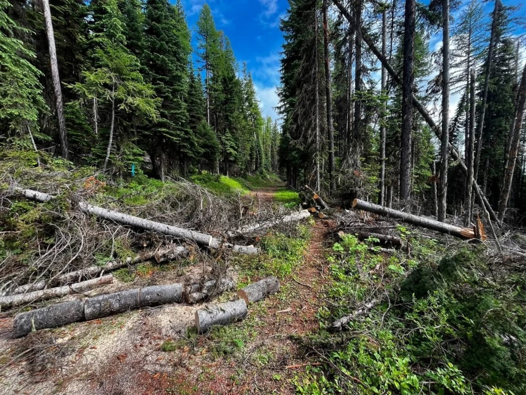
  • Expect downed trees early in the season. Carry a folding saw if you have one, know the official bypasses, and be prepared to turn around and create your own bypass if conditions are unsafe.
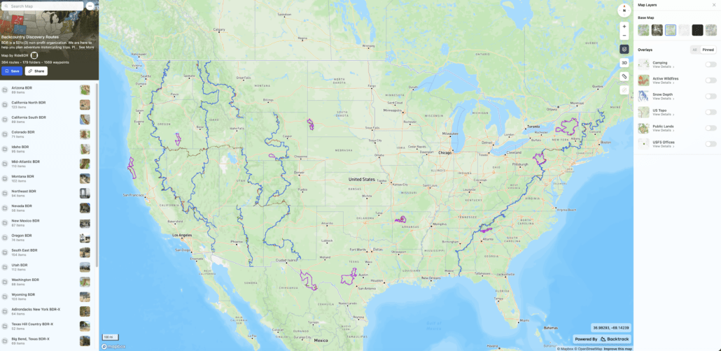
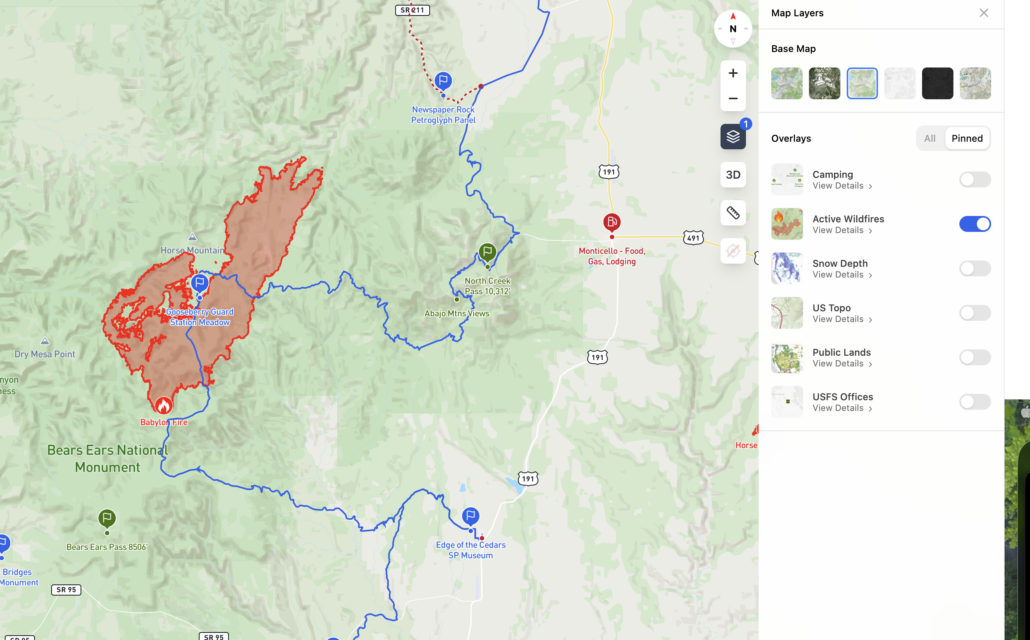
  • Monitor wildfire conditions. Use the BDR Interactive Map HERE to check the wildfire activity layer and tools like the onX Offroad wildfire and smoke layers to monitor changing conditions.
  • Join your route’s official BDR Facebook group for current rider reports and local updates.
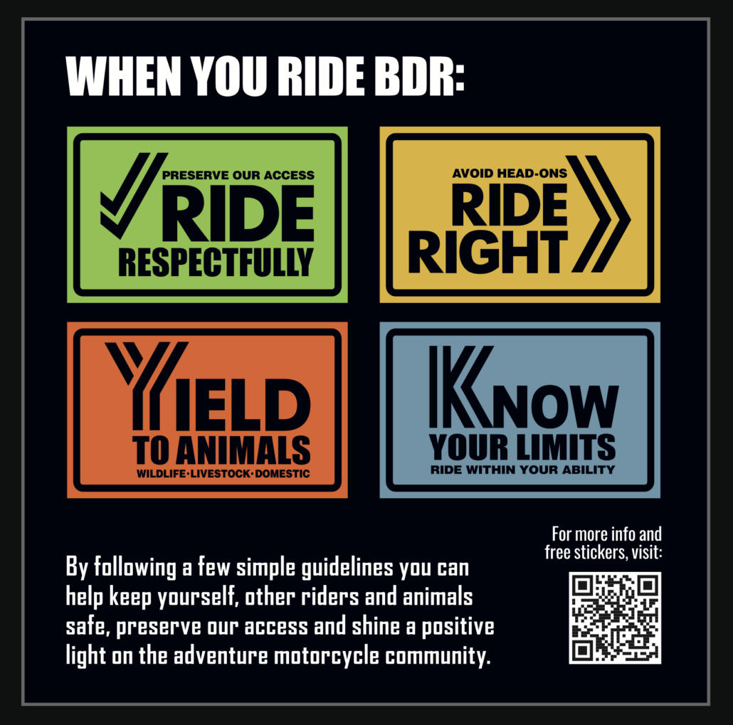
  • Ride Right, Ride Respectfully, Yield to Animals and Know Your Limits

We often receive reports of riders speeding, not riding right, and blocking roadways in residential areas.

Please be courteous, respect local communities, and remember that adventuring in the backcountry is a privilege, not a right. Be an ambassador for our sport and help preserve access for future riders.

Doing a little homework before you leave and making good decisions on the trail helps ensure a safe trip while protecting the future of the BDRs for everyone.
February 19, 2025

New Tracks Available for Download

A new version of the Black Hills BDR-X tracks is available labeled BDRX-Black-Hills-February2025

This update includes a few minor refinements and a few new updates:

SECTION 1:

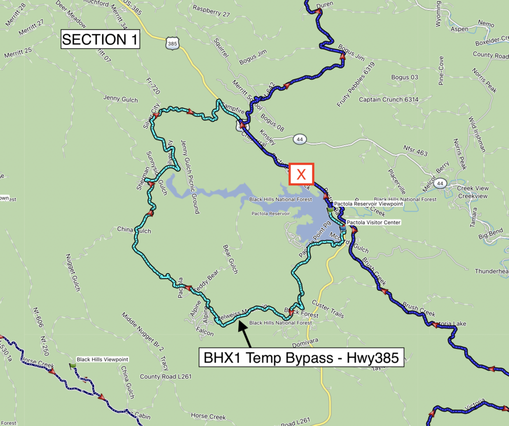
Road construction is taking place on Highway 385 on Section 1 of this route.

  • Construction crews have intermittent closures on the highway, be prepared for major delays at any time. This construction is expected to last most of the year.
  • The latest GPS tracks include a temporary bypass track file that can be used if the highway is closed, see attached screenshots for reference.
  • More info on the construction process can be found HERE

SECTION 2:

  • A new optional ALT Harder track has been created for the rocky downhill and deep ruts just north of Hill City. Riders wishing to avoid this can remain on the main route.

SECTION 3:

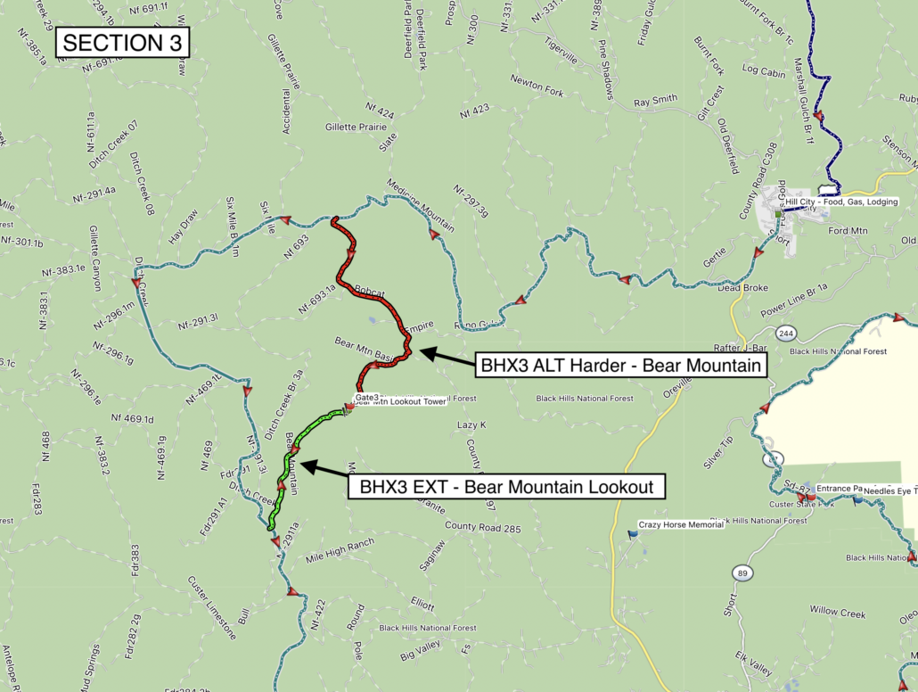
  • A dedicated EXT track has been added for Bear Mountain Lookout tower. For riders that do not wish to take the optional ALT Harder climb up to the tower, you can take this extension track via easy gravel road to the tower for great views.

See attached screenshots for reference.

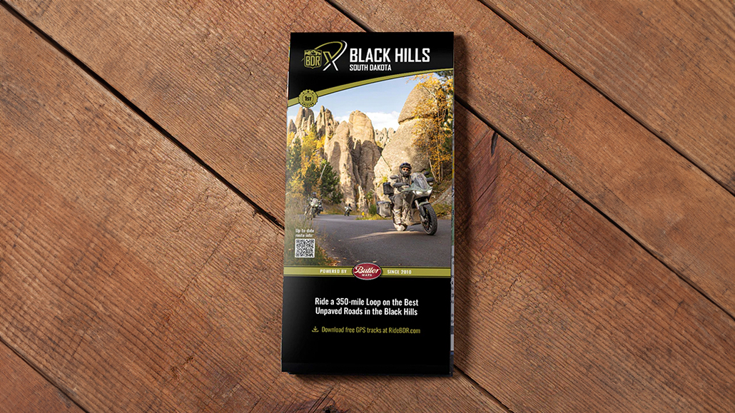
Purchase the all new official map for the Black Hills BDR-X HERE

Always download the latest version of the GPS tracks just before you go HERE
Backcountry Discovery Routes is a 501c(3) non-profit corporation. © 2026 Backcountry Discovery Routes, Inc. All rights reserved. Terms of Use.